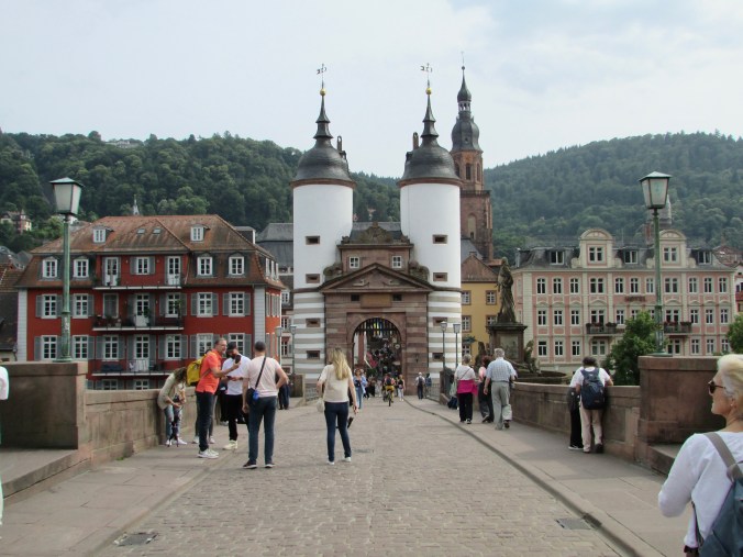
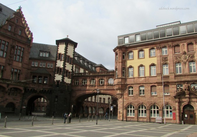
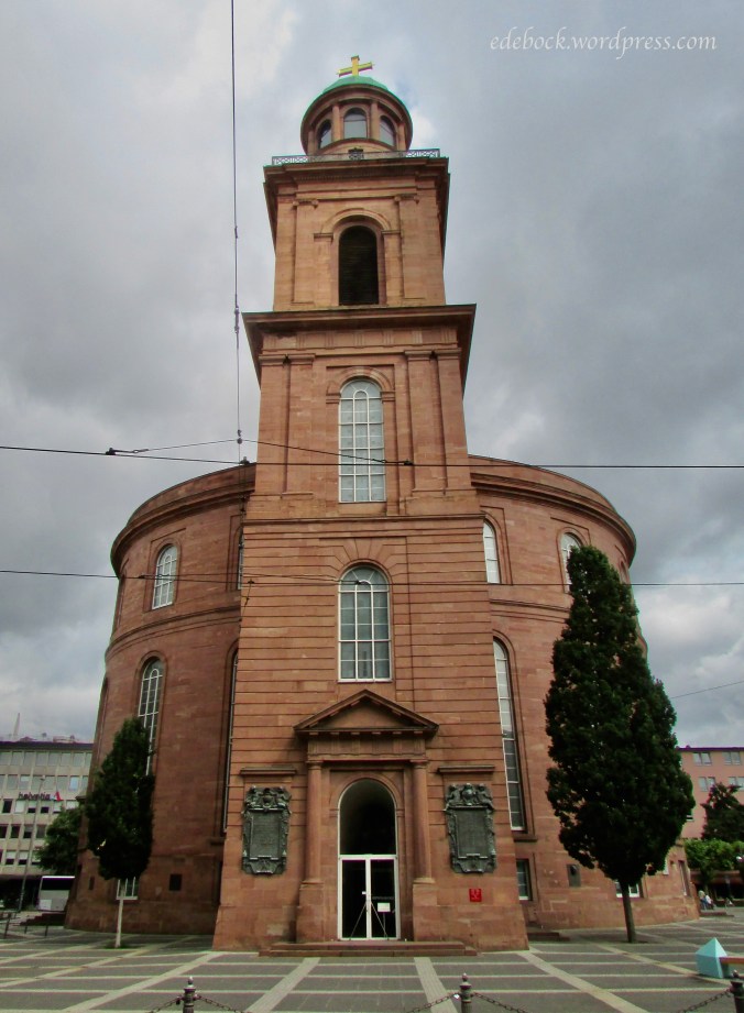
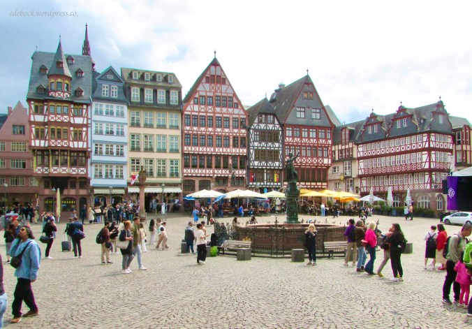
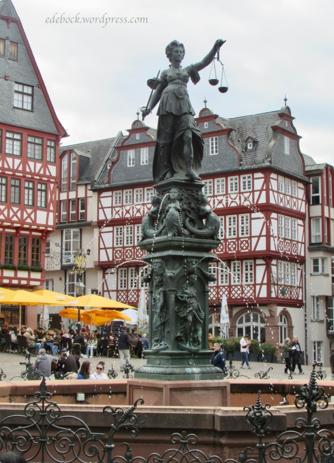
Today was our last day in Germany. As much as I’ve enjoyed the last week, I’m tired with a capital T and I’m ready to go home. Even though it was just over three weeks, it seems like forever ago that we set out on this big adventure.
We walked a lot again today, but at a very leisurely pace. It was 31ºC (88ºF) this afternoon and we had plenty of time to see Mainzer Alstadt, the old town centre of Mainz. There are many historic churches throughout the city, but three stand out and are worth a mention here. Because of the narrow, crowded streets, it isn’t always easy to get good photos of the exteriors, but I’ll share the interiors of the two that we were in today.
St. Stephan’s is located high on a hill overlooking the old town. We arrived just as the doors were being opened and were delighted to find a musical performance happening inside. The acoustics, as is true in so many of these old stone churches, were amazing.
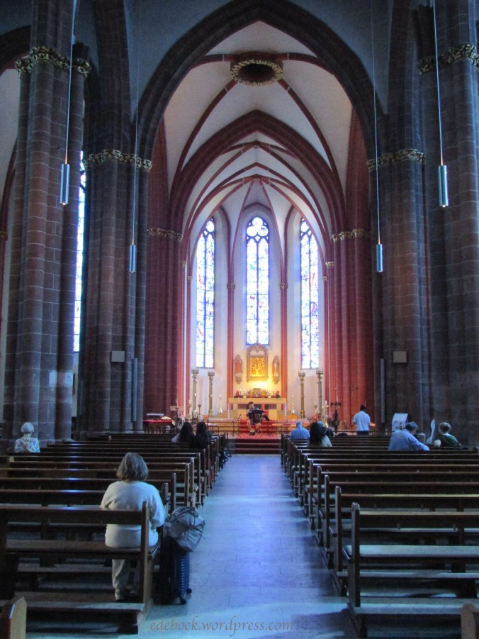
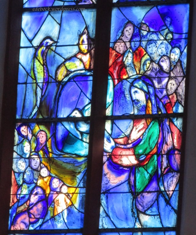
St.Stephan’s is known for it’s brilliant blue stain glass windows created by Jewish artist Marc Chagall (1887 – 1985). They cast a mystical light throughout the interior of the church and reminded me of flowing water.


Only the three long panels at the front of the church contain figures like these ones.
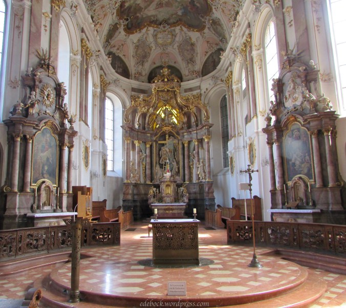
Even though my blog takes it’s name from one of my ancestors, not St. Augustine, the church that bears his name was something I had to see. St. Augustine Church is tucked into a narrow pedestrian street.

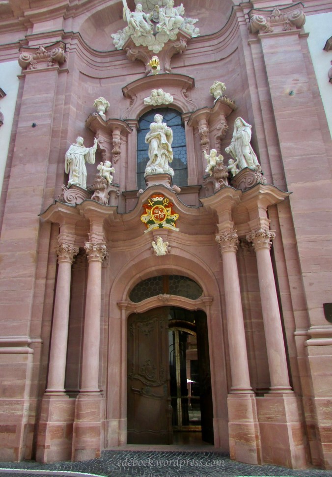
The inside is absolutely spectacular. I have trouble wrapping my head around so much money being spent on a place of worship in a world where people go hungry, but at the same time, I can’t help but appreciate the beauty.

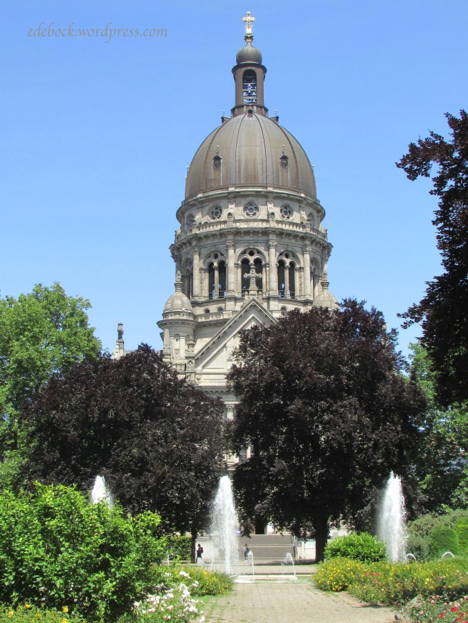
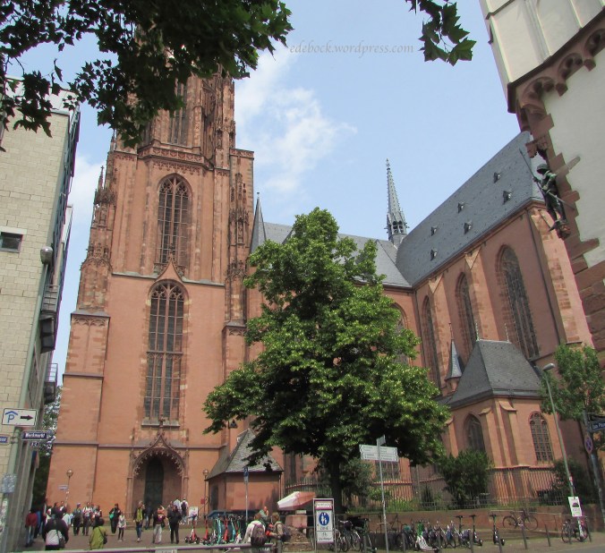
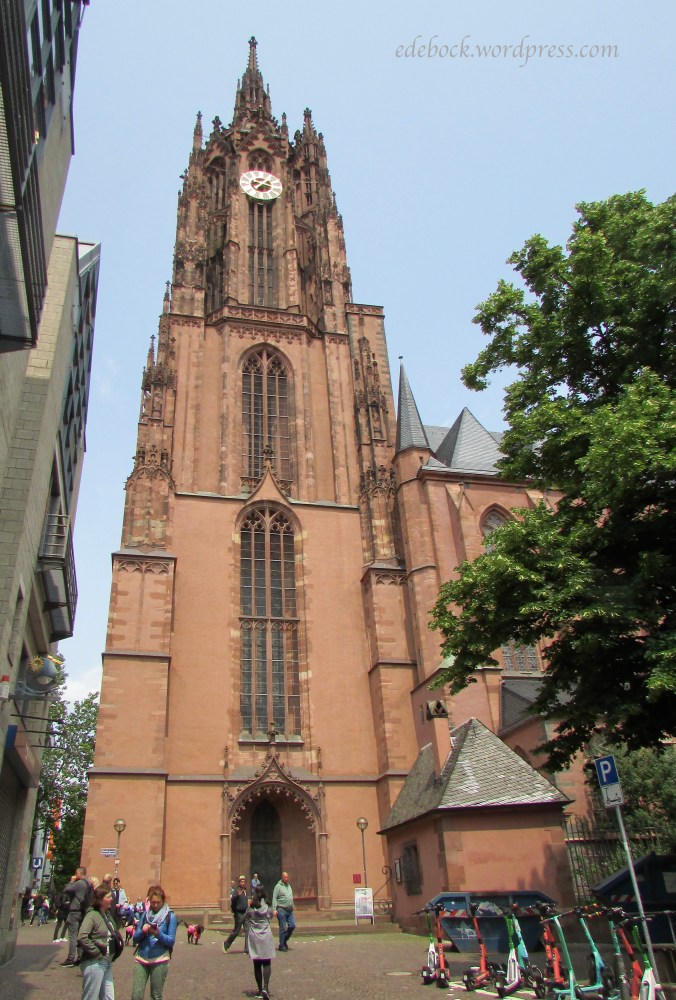
By far the most imposing structure in the old section of Mainz is the enormous St. Martin’s Cathedral. Photos simply don’t capture how massive the 1000 year old structure is.


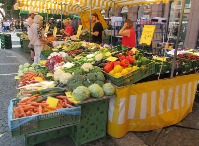
Friday is market day in the main square next to the cathedral and if I lived in Mainz, this is where I’d be doing my weekly grocery shop. Fruit, vegetables, cheese, meat, baked goods, eggs, honey, wine, and even flowers can all be found in the giant outdoor market. It reminded me of shopping in Mexico and in China when we lived there.

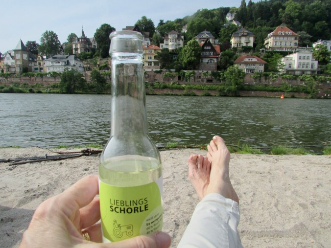
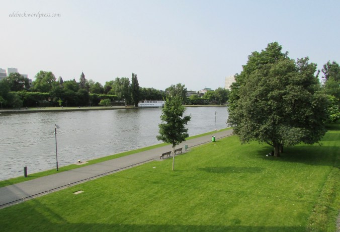
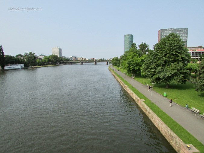
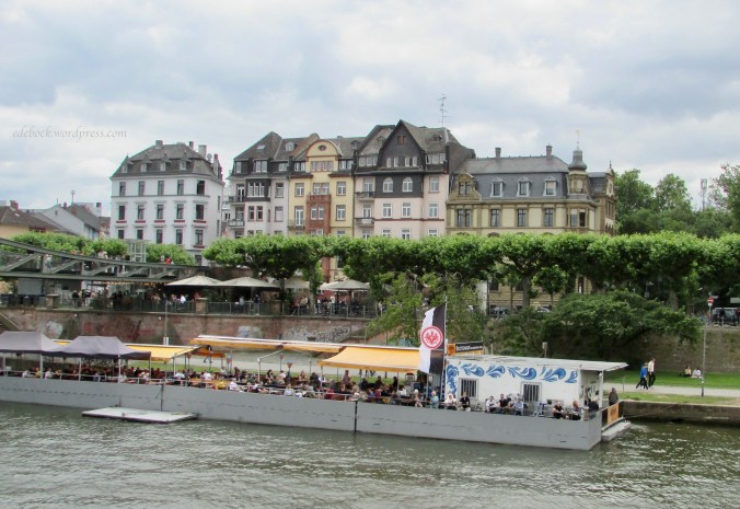
After our stroll around the old town and through the market, we returned to the nearby river and walked along the promenade again.
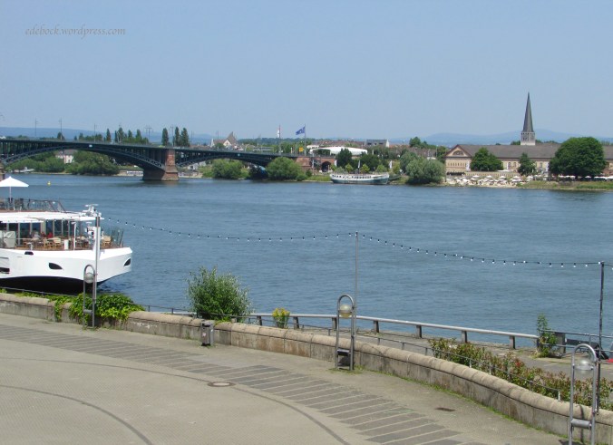

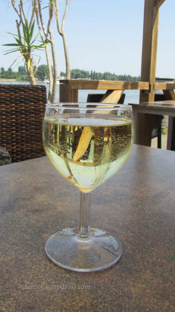
Embedded in the largest wine-growing region in Germany, Mainz is known as the country’s wine capital, so we ended our self-guided tour with a glass of wine by the Rhine!
Now our suitcases are packed and we’re ready to leave. We’ll catch a train to the Frankfurt airport early tomorrow morning and fly out at noon. The blog will probably be silent for a few days while I recover from jet lag and get back into routine, but we have more travel plans for later this summer , so don’t go away!