Hello Xalapa!

We first woke up at 4 o’clock this morning because the house was shaking and the windows rattling. The 4.4 magnitude earthquake with its epicentre beneath the ocean less than 150 km east of here, was not something I had expected to experience during our stay in Mexico. After living for a year in Japan where the earth moves almost every other week, we’re pretty blasé about such things though and soon went back to sleep.

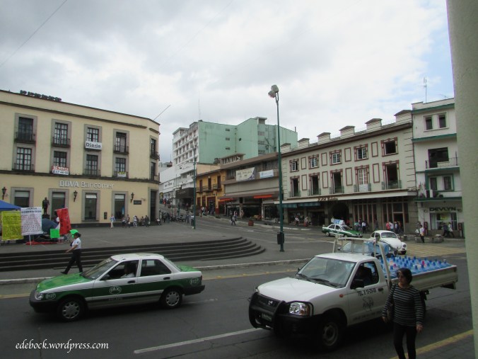
Later in the morning, we took a 20 minute bus ride into Xalapa (pronounced Halapa), a city of approximately 400 000 people that is the capital city of the Mexican state of Veracruz. Xalapa is also known as a centre of arts and culture.

We enjoyed strolling around the central part of the city including Parque Jaurez, one of the city’s most popular attractions. The park, located next to the provincial government building, is home to an amazing dragon play structure; it’s tongue a two sided slide, its body a climbing wall and its tail a rope climbing apparatus. I could imagine my five grandchildren having a blast playing on it.

We also enjoyed the Greek inspired statues of the four muses, especially this one!

img_3641-version-2

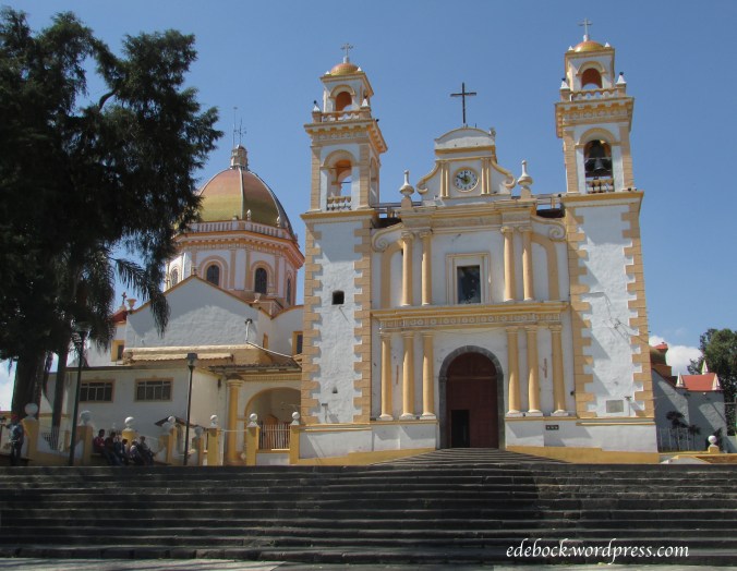
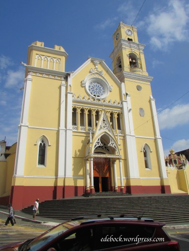
Across the street from the government building stands the impressive Xalapa cathedral, beautiful both inside and out.
img_3648

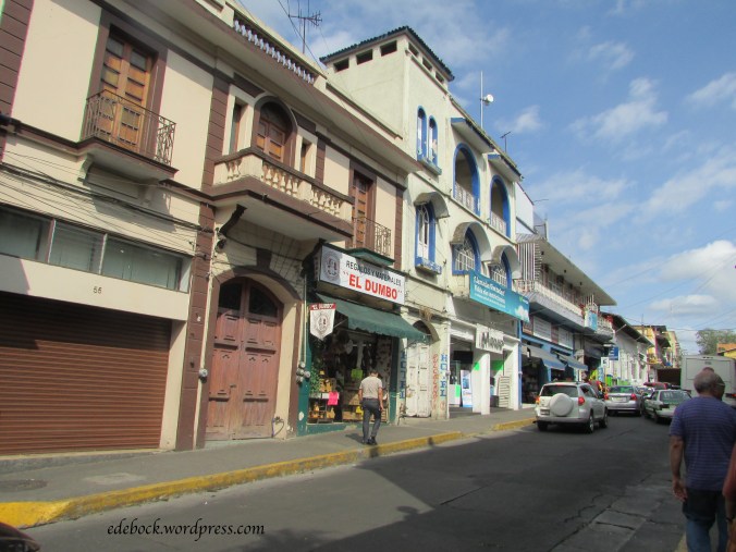
As we walked the nearby streets stopping into a few little shops, we joked that this one must be part of the empire owned by the newly elected president of a certain country to the north!

img_3654

img_3653

Clearly it was a fun filled morning! After a fabulous lunch in one of Xalapa’s finest restaurants, we returned to Coatepec but we’ll be back in Xalapa on Friday evening to hear the city’s symphony orchestra in concert.

img_3647

img_3662

To Xico for lunch

After starting my day with a zumba class, I was ready for a hearty lunch. We caught a taxi in Coatepec and headed for Xico, a smaller town about 9 km away. Here’s the sight that greeted my eye as I stepped out of the car!

img_3604

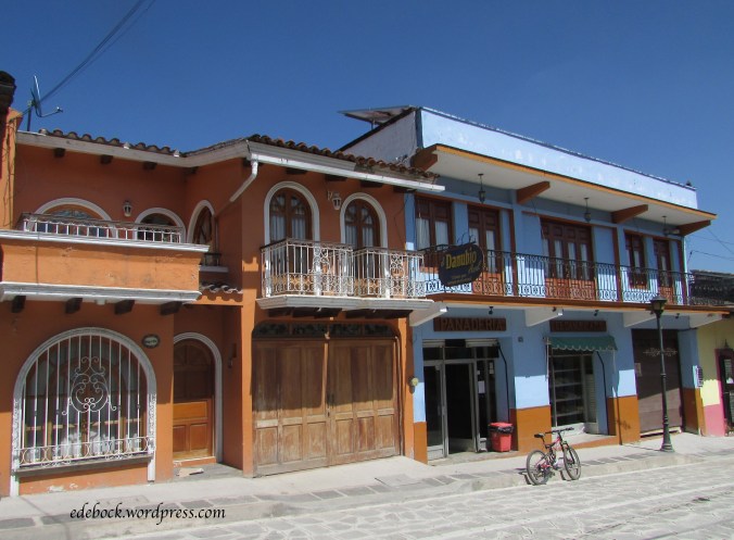
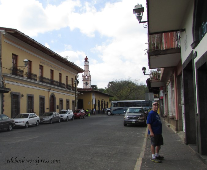
Turning around, we crossed the street and headed down the newly restored pedestrian avenue lined with colourful homes and shops. It felt a bit like a step back in time.

img_3603img_3607img_3622

Toward the end, road construction was still underway.

img_3613

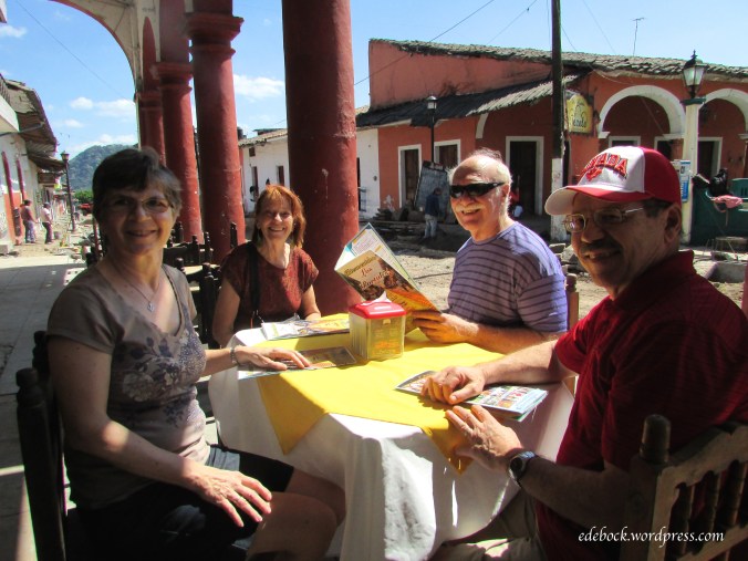
The restaurant that was our destination was located near the end of the street. Fortunately, shortly after we arrived, it was time for the construction crew to take their afternoon siesta. The machines shut down and the workers gathered in the shade across the street from where we sat in the sunshine on the outdoor patio. Again, I had to remind myself that it’s the middle of February!

img_3615

There’s very little English in use in this part of Mexico. Richard M and Colleen function fairly well in Spanish and are able to help us order from the Spanish only menus. There have been a couple of surprises, but they’ve both turned out rather well! On our first morning in Coatepec we went out for breakfast. I thought I’d ordered an omelette, but it was actually fried eggs in a very tasty sauce. Today, I was expecting a shrimp sandwich, but it turned out to be an absolutely delicious omelette! If the surprises continue to be this yummy, I hope there are a few more of them!

Welcome to Coatepec!

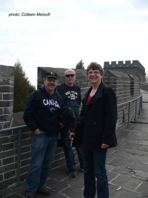
great-wallWhen we climbed the Great Wall of China with fellow Liaoning Normal University English teacher, Richard M, and his wife, Colleen, almost four years ago, we had no idea that someday we’d walk the streets of Coatepec, Mexico with them! Richard and Colleen are now enjoying  retirement in this colourful town of approximately 50 000 people located about 300 km east of Mexico City. We arrived the day before yesterday and after talking until almost one o’clock in the morning, decided that we didn’t have to do all our catching up in one night!

img_3579

After being out and about exploring Coatepec yesterday and then again today, we can easily see why Richard and Colleen love it here! Dressed in shorts and t-shirts, I have to keep reminding myself that it’s still February, but climate isn’t the only reason to like this place.

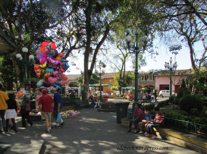
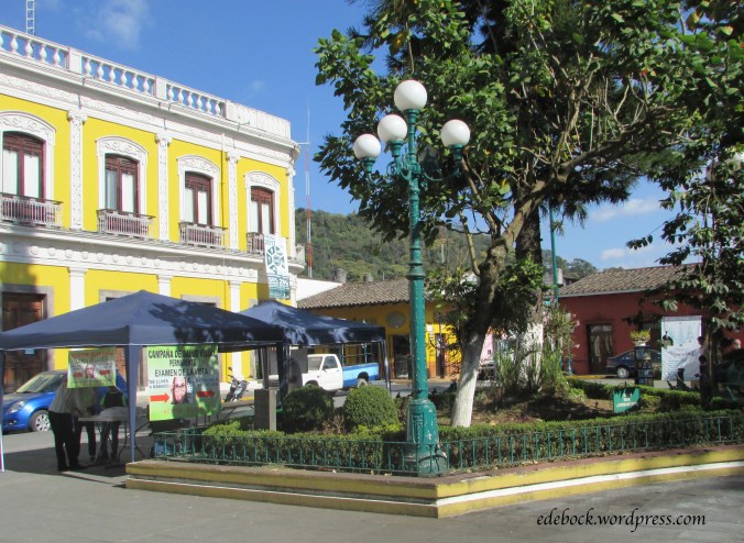
The people are warm, friendly and very welcoming; the food is fresh and delicious; and the architecture is gorgeous. A beautiful park at the centre of town is a vibrant gathering place.

img_3575

Come take a look around with me…

img_3568img_3573img_3588img_3592img_3594img_3597img_3601

Meat Cove… at the end of the road

When I was young, my father’s desire to get away from it all often led us to the end of little out of the way roads in our home province of British Columbia. As a child, I didn’t always appreciate those trips to nowhere, but they eventually bred in me a yearning to take the road less traveled and see what’s at its end.
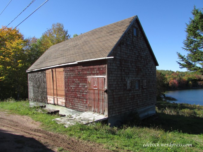
On our first weekend in Halifax, a gentleman told us that if we were going to drive the Cabot Trail, we should go into Cape North and then take the little side road to Meat Cove. Looking at the map, I discovered that Meat Cove is the northernmost community in Nova Scotia. A lone gravel road leads to a tiny dot on the map surrounded by nothing but blank space. Of course, we’d have to go!

As is often the case, the journey was as interesting as the destination. Along the way, we missed a turn and first ended up at another small fishing village, picturesque Cape St Lawrence.

img_3091

Back on the right road, the views were spectacular.

img_3121

img_3118

img_3117

img_3094

img_3099

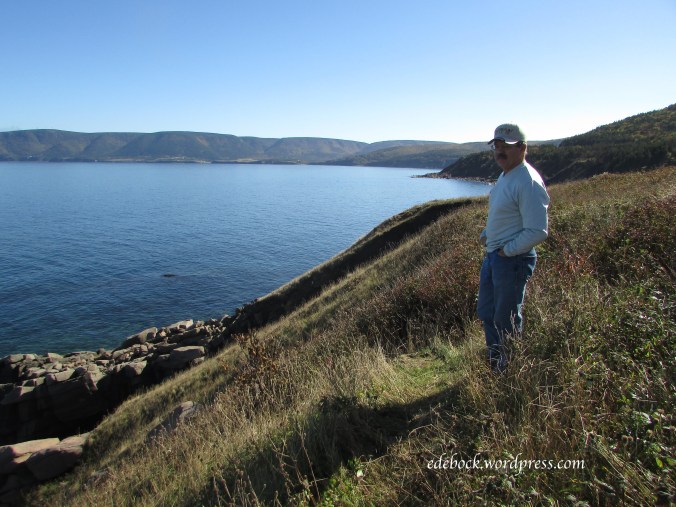
Meat Cove, with a population of 65 people, is a remote fishing village. Apparently, it takes it’s unusual name from the fact that in days gone by, boats would stop there to reload with wild meat. There isn’t actually a lot there; just a dozen or so houses scattered around the area, a guest lodge, a tiny campground clinging to the cliff top high above the cove itself and a small community centre that also serves as a restaurant and an internet access site.

img_3110

img_3103

img_3106

img_3108

As I looked down on the crystal clear water, I was glad that we’d taken the time to drive to the end of the road and when I called my 93 year old father to tell him about it, I could hear the pride in his voice!

Colourful Cabot Trail

Nova Scotia’s Cabot Trail is a scenic roadway measuring 298 km in length that forms a loop around the northern part of Cape Breton Island and passes through Cape Breton Highlands National Park. Prior to this trip, we had driven the Cabot Trail twice before, both times doing the entire loop in one day.

The first time was in 1991. We were traveling with our young children and had the privilege of doing the drive with a colleague who is a native Cape Breton Islander. He was home on summer vacation and acted as our guide for the day. It was bright and sunny and we were awed by the beauty that surrounded us. Stops along the way to enjoy the views, eat a picnic lunch and take a swim made it a long, but very memorable day.

Our second trip around the trail seven years ago was somewhat disappointing. It poured rain much of the way and we crossed the northern highlands in dense fog barely able to see the road let alone anything else! We made very few stops.

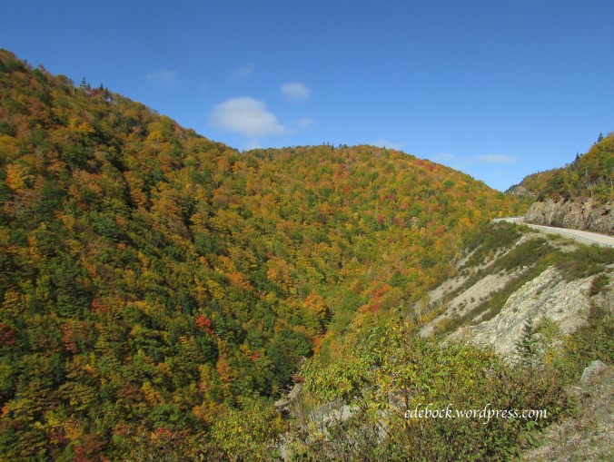
This time we spent three days on the trail! We stopped at many viewpoints, or lookoffs as they’re known in Nova Scotia, to soak in the beauty and take a multitude of photos.

img_2962

img_2967

img_3031

That’s the little Hyundai Accent rental that’s been our wheels for this entire trip.

We enjoyed a traditional community breakfast with the locals at the Southwest Margaree Parish Hall and spent a couple of evening hours listening to local musicians in a Cheticamp pub.

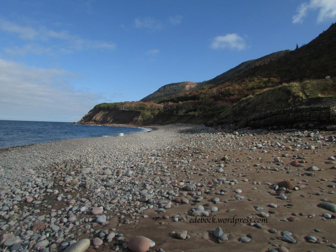
We walked rocky beaches

img_3040

img_3057

img_3061

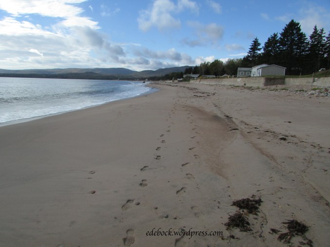
and sandy ones.

img_3166

We hiked the Skyline Trail and explored out of the way places like this one near Cheticamp where we stopped to find a geocache.

img_3051

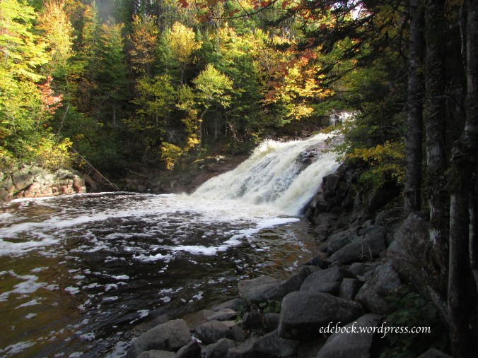
We took side roads to places like Mary Ann Falls

img_3146

and everywhere we went, we marvelled at the amazing colours.

img_2957

img_3078

img_3087

Yes, the Cabot Trail is beautiful anytime of year, but in autumn it’s absolutely spectacular!

Searching for colour and finding history

img_2873-version-2

We knew from our previous visit with Ronnie and Myrna, the dear pen pal that I inherited from my mother-in-law, that they enjoy sightseeing drives through the lovely countryside around Mahone Bay. Like my own father, however, Ronnie has macular degeneration and is legally blind. He still has some sight, but not enough to drive. When we suggested taking them for a drive to look at the fall colours that Nova Scotia is famous for at this time of year, they jumped at the opportunity and off we went!

img_2788

With Richard behind the wheel and Myrna navigating, we headed inland toward New Ross. Sure enough, though many of the trees were still green, others were aflame. For those of you who are accustomed to the wide range of reds, oranges and golds of autumn, our delight might seem odd, but where we live in Alberta, we don’t experience the same array of colours in the fall. Most of our trees just turn shades of yellow.

We saw much more than trees, however. Soon Myrna was pointing out the house where she grew up. It was here that she wrote the first letters to my mom-in-law over 75 years ago! Obviously well cared for, it has new shutters, windows and front door since the last time she saw it.

img_2791

Along the same road, we saw her uncle’s old horse barn

img_2802

and the one room schoolhouse that she attended.

img_2805

At 16 years of age, with a grade 11 education, Myrna became a teacher in a similar school! She taught for five years before she and Ronnie married.

Nova Scotia has been changing before our very eyes with more colour every day. Here are just a few more sights from that day’s drive.

img_2792

Mahone Bay… a little piece of paradise

Though I love to travel, life is really about people, not places. If the weather had been horrible and the view boring, our time with the Hs would still have been wonderful! The relationship between our two families goes back 77 years and we felt so welcome. Add to that the indescribable beauty of Mahone Bay, Nova Scotia and the most amazing fall weather imaginable and I think we’ve been in paradise for the past few days!

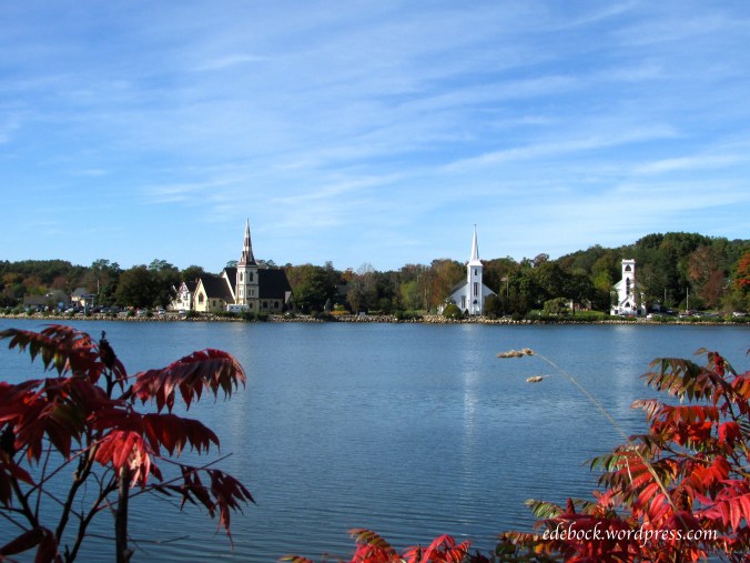
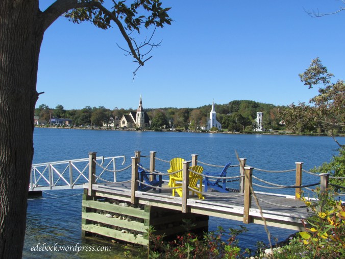
The Hs live at Indian Point, a tiny community on the shore of Mahone Bay about 7 km from the town itself which is best known for the three churches located along the edge of the bay.

img_2820-version-2

img_2728

Every morning, we woke up to views like this one.

img_2744

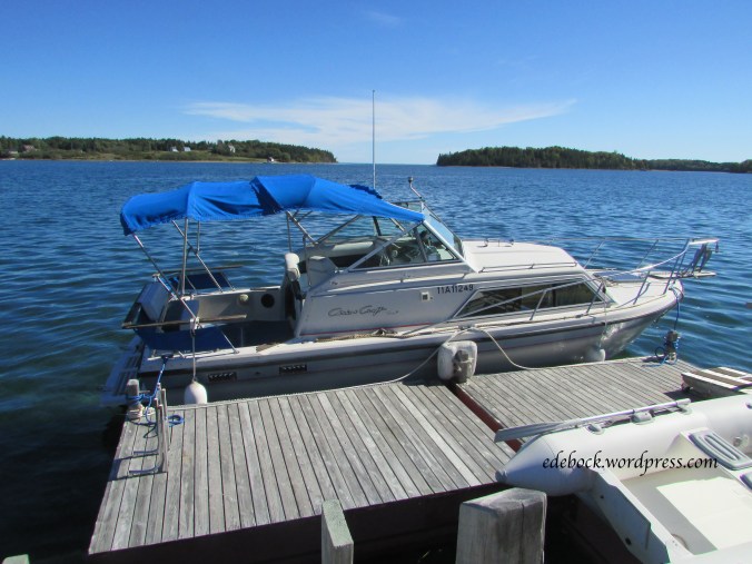
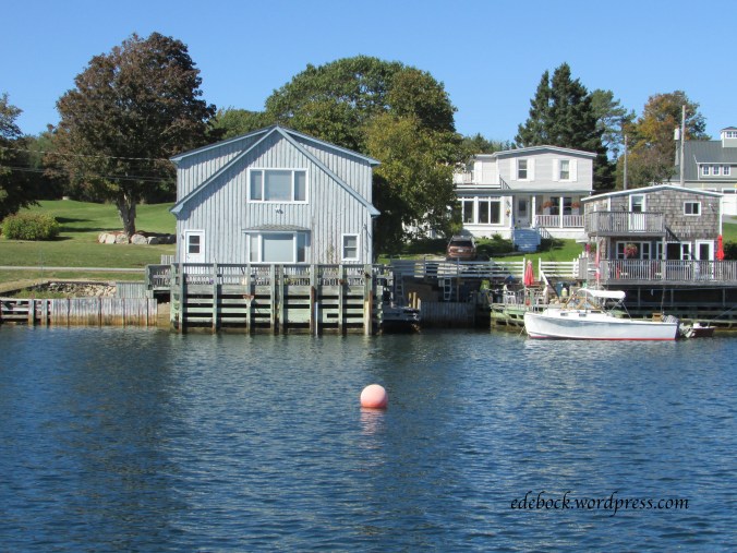
Words aren’t adequate to describe the beauty that surrounded us, so I’m simply going to share a few photos. Several of them were taken from the water while we were out on Lindy H’s boat.

img_2775

This is Ronnie and Myrna H’s house where we spent lots of time visiting.

img_2772

img_2767

img_2730

img_2757

img_2881

Peggy’s Cove

Peggy’s Cove, a quaint fishing village on the eastern shore of St Margaret’s Bay, about 45 km from Halifax, Nova Scotia, is probably one of the best known and most visited locations in Canada. Though we’d been there twice before, we couldn’t resist stopping at this picturesque spot again as we made our way from Halifax to our next destination at Mahone Bay.

The iconic lighthouse dominates the rocky point overlooking the crashing waves below.

img_2686

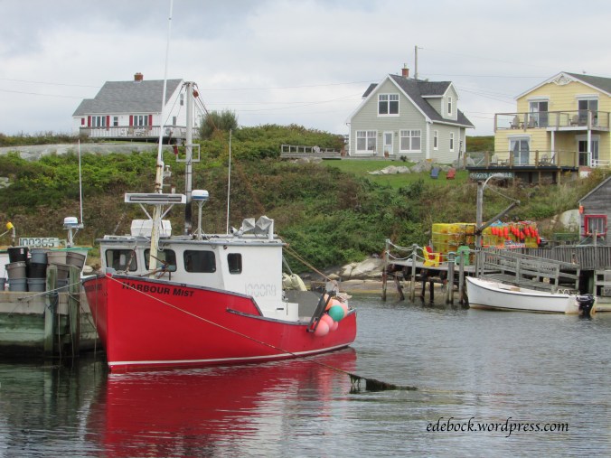
Though it’s the lighthouse that attracts the most tourist attention, I love walking around the village photographing the colourful boats and the houses that cling to the rocks around the cove.

img_2662

img_2665

img_2704

img_2701-version-2

img_2712-version-2

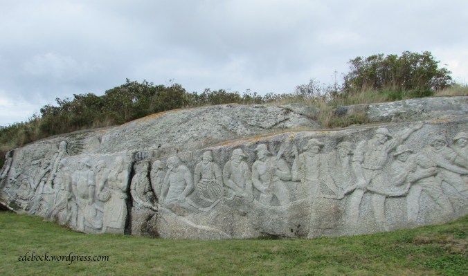
Also of interest is the Fisherman’s Monument carved into a 30 metre granite outcropping by artist, William Edward deGarthe, who emigrated to Canada from Finland in 1926 and settled in Peggy’s Cove in 1955.  The sculpture depicts 32 fishermen, their wives and children, a guardian angel with wings outspread, and the legendary Peggy of Peggy’s Cove.

img_2695

Halifax Seaport

img_2611

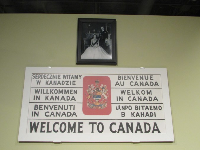
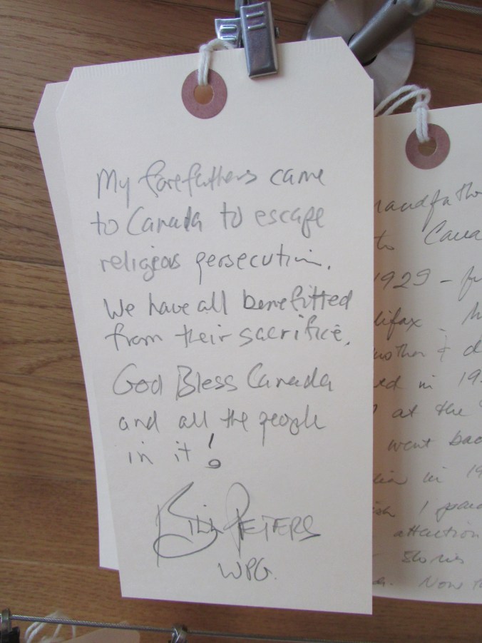
We spent most of our weekend in Halifax exploring the harbour area. Our first stop was the newly renovated Canadian Museum of Immigration at Pier 21, Canada’s last standing ocean immigration terminal. It was here that a great many of the immigrants who arrived in our country between 1928 and 1971 first stepped onto Canadian soil. As well as offering a fascinating step into the past to experience what it was like to immigrate through Pier 21, the museum showcases the vast contributions that newcomers have made to Canada’s culture, economy and way of life. I was particularly touched by the wall of testimonies written by previous visitors to the museum. Here are just a few of them.

img_2610


img_2607

img_2605

As we explored the Halifax Seaport, a vibrant waterfront area and a popular destination for both locals and tourists, we passed “The Emigrant”, a beautiful bronze and marble monument depicting an emigrant leaving his home country to start a new life in Canada. The piece was designed, sculpted and donated by artist, Armando Barbon, himself an immigrant who wanted to say thank you to his adopted country.

img_2615-version-2

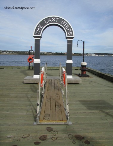
In addition to being the place where many new Canadians first stepped onto our shore, the Halifax harbour was also the location where thousands of First World War soldiers last stood on Canadian soil. A trail of footprints burned into the wooden boardwalk traces the path of the long-gone fighters to a memorial arch bearing the words “The Last Steps”.

img_2631

The Seaport is also home to the Maritime Museum of the Atlantic. There, I found the exhibit devoted to the 1917 Halifax Explosion most interesting. On that darkest day in Halifax’s history, at 9:06 a.m. on December 6,  a dreadful miscommunication between two ships in the harbour resulted in an explosion of cataclysmic proportions. 2,000 people were killed and 9,000 more injured. It was the largest man-made explosion in history prior to the first nuclear blast.

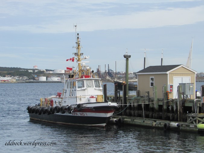
In addition to exploring local history, I loved just walking the boardwalk and enjoying the harbour sights.

img_2636

img_2626

img_2630

img_2635

img_2637

Hiking Johnson Canyon

I first hiked Johnson Canyon, one of the most popular day hikes in Banff National Park, as a university student in 1974 and I’ve been wanting to do it again ever since. On Sunday, I finally did!

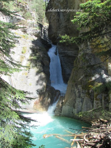
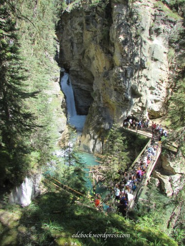
The parking lot was already full by mid morning when we arrived and the trail was packed with tourists. Catwalks affixed to the limestone cliffs make the canyon easily accessible to everyone and the 1.1 km trail to the lower falls involves very little change in elevation.

IMG_2392

At the lower falls, a bridge crosses the creek allowing both an excellent spot from which to view the falls and access to a water-formed tunnel through the rock to a closer viewing platform.

IMG_2394

IMG_2397

IMG_2399

IMG_2402 - Version 2

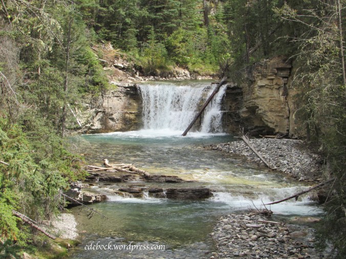
The crowd thinned out a little as we moved on toward the upper falls, another 1.5 km up the trail. Spectacular views continued to surround us as we followed the crystal clear creek.

IMG_2406

IMG_2414

There is significantly more change in elevation on the way to the upper falls and by the time we arrived at the bottom our two little grandsons decided that their legs had hiked far enough. Our son and daughter-in-law took them back to camp while Richard and I pushed on. It was a short climb to the top of the falls where we enjoyed great views of the falls themselves and the deep pool at the bottom.

IMG_2424

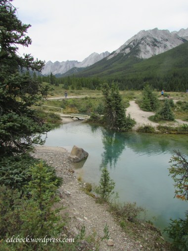
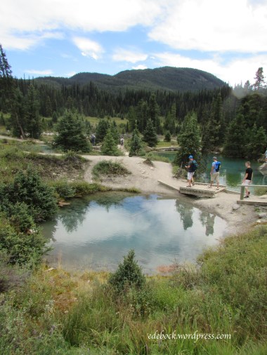
Beyond the upper falls, the trail leaves Johnson Canyon behind and climbs another 3.1 km to the Ink Pots, seven cold mineral springs that bubble to the surface forming small pools in an open meadow. These springs are unique in that they have a constant year round temperature of 4ºC and their basins are composed of quicksand.

I had not hiked beyond the upper falls in the past and wasn’t expecting the steep climb that was involved. Once we’d set out, however, I was determined to finish! The trail seemed to go on forever, climbing higher and higher. Younger legs passed us by, but we pushed onward and eventually reached our goal!

IMG_2436

IMG_2441

IMG_2443

IMG_2449

IMG_2450

My old knees were a bit achy the next morning, but a soak in Banff’s Upper Hot Springs was all they needed to recuperate!