Over the years that we’ve been together, hubby and I have visited 18 different countries and we’re about to add 2 more to the list, but there are still places closer to home that we haven’t explored. Until the past week, Writing On Stone Provincial Park was one of them.

Straddling the Milk River just north of the Alberta-Montana border, Writing On Stone or Áísínai’pi, which means “it is written” or “it is pictured” is geographically central to the vast area inhabited by the Niitsítapi (Blackfoot) people since time immemorial. For them, it is also a deeply sacred place, a place where they seek the guidance of spirit beings thought to dwell in the hoodoos and nearby hills. Áísínai’pi was declared a UNESCO World Heritage site in 2018 and in order to protect the ancient art on many of the rock faces from vandalism, part of the park is an archaeological preserve closed to the public except by guided tour.
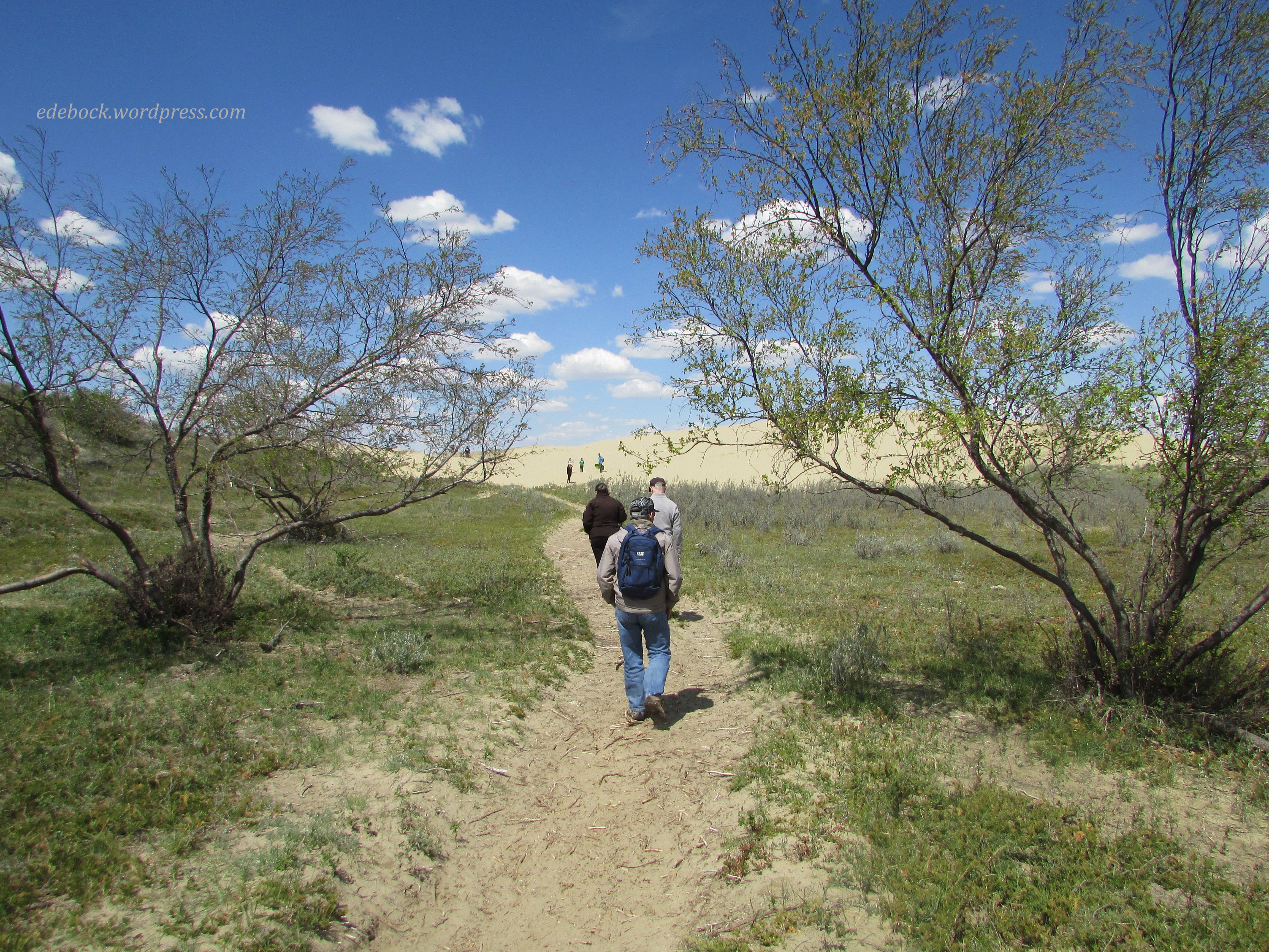
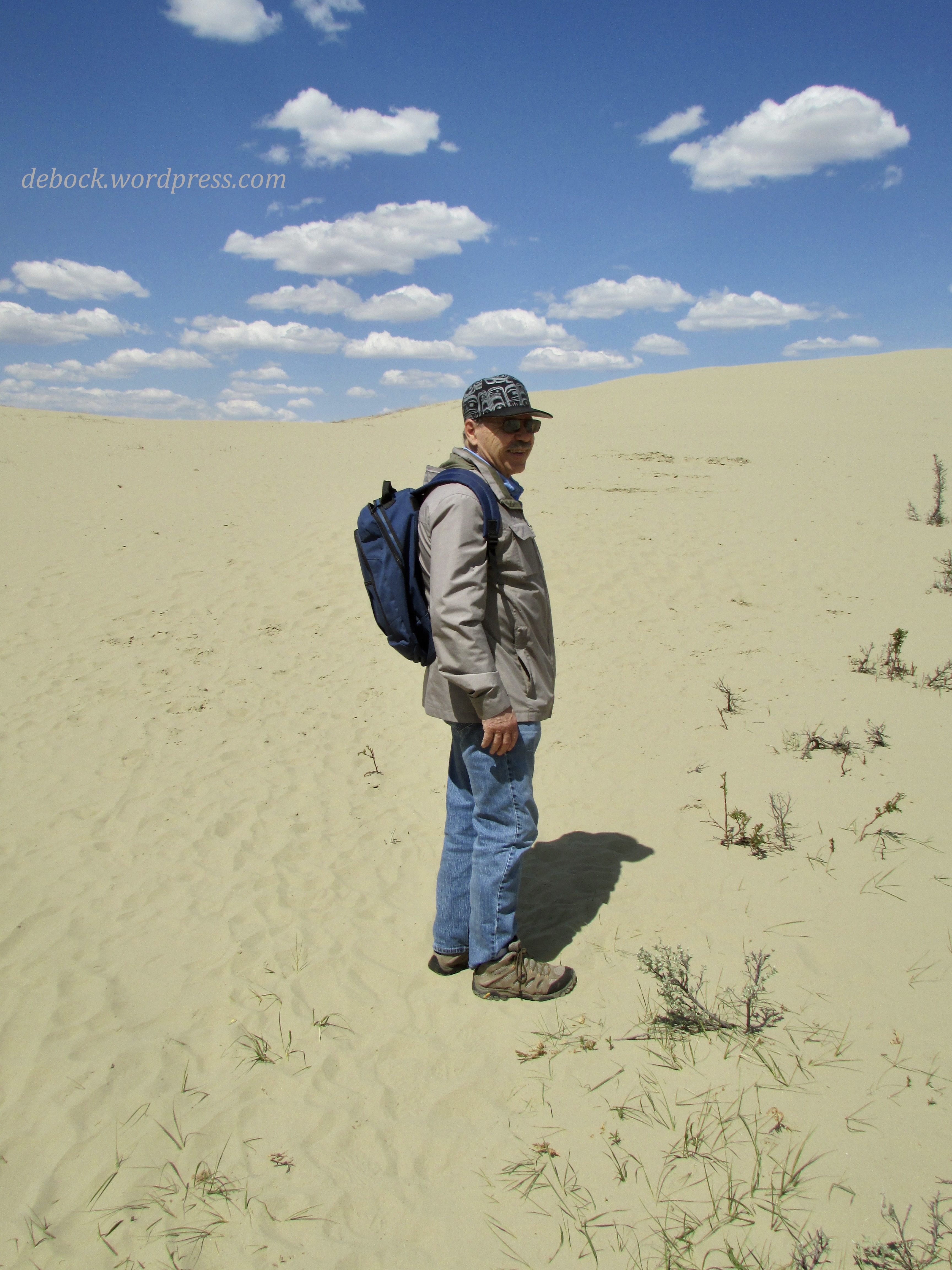
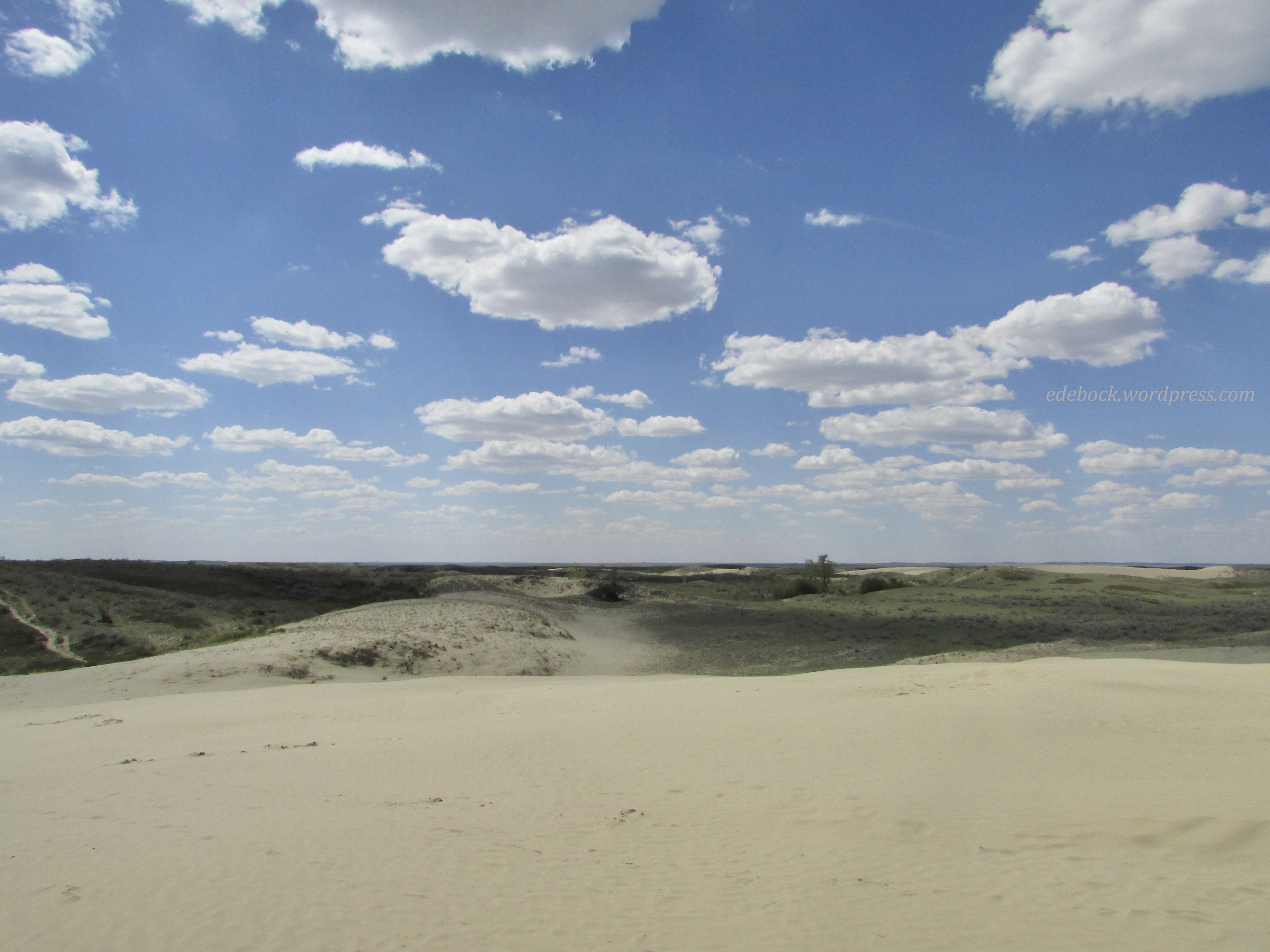
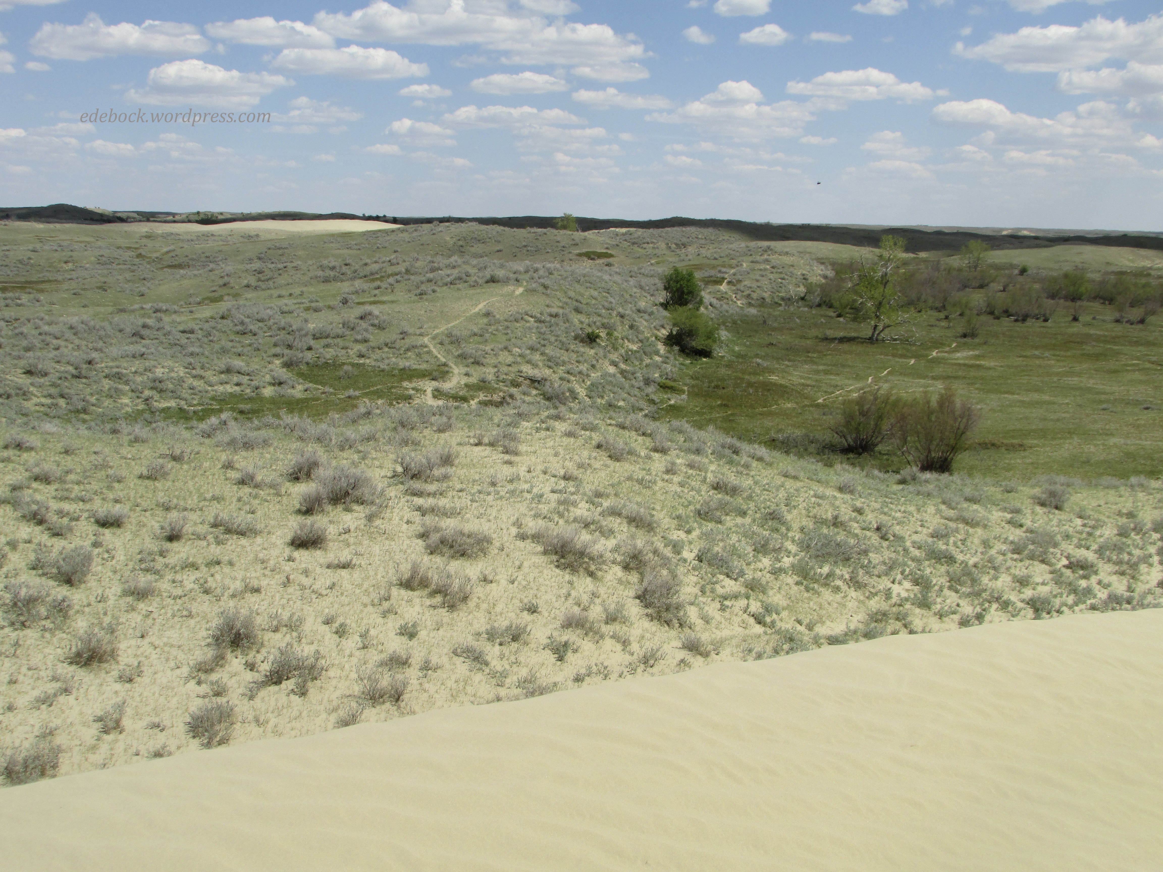
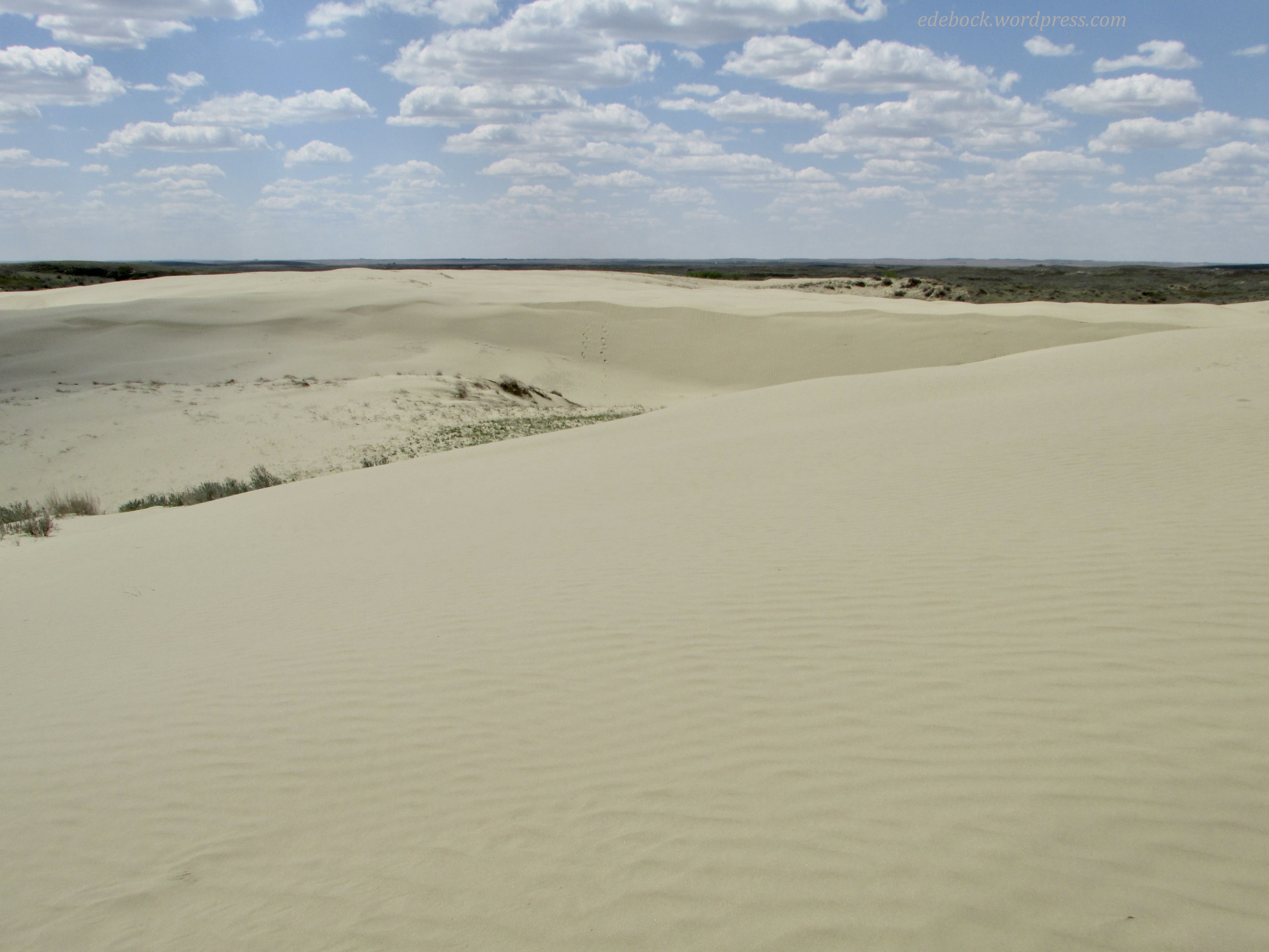
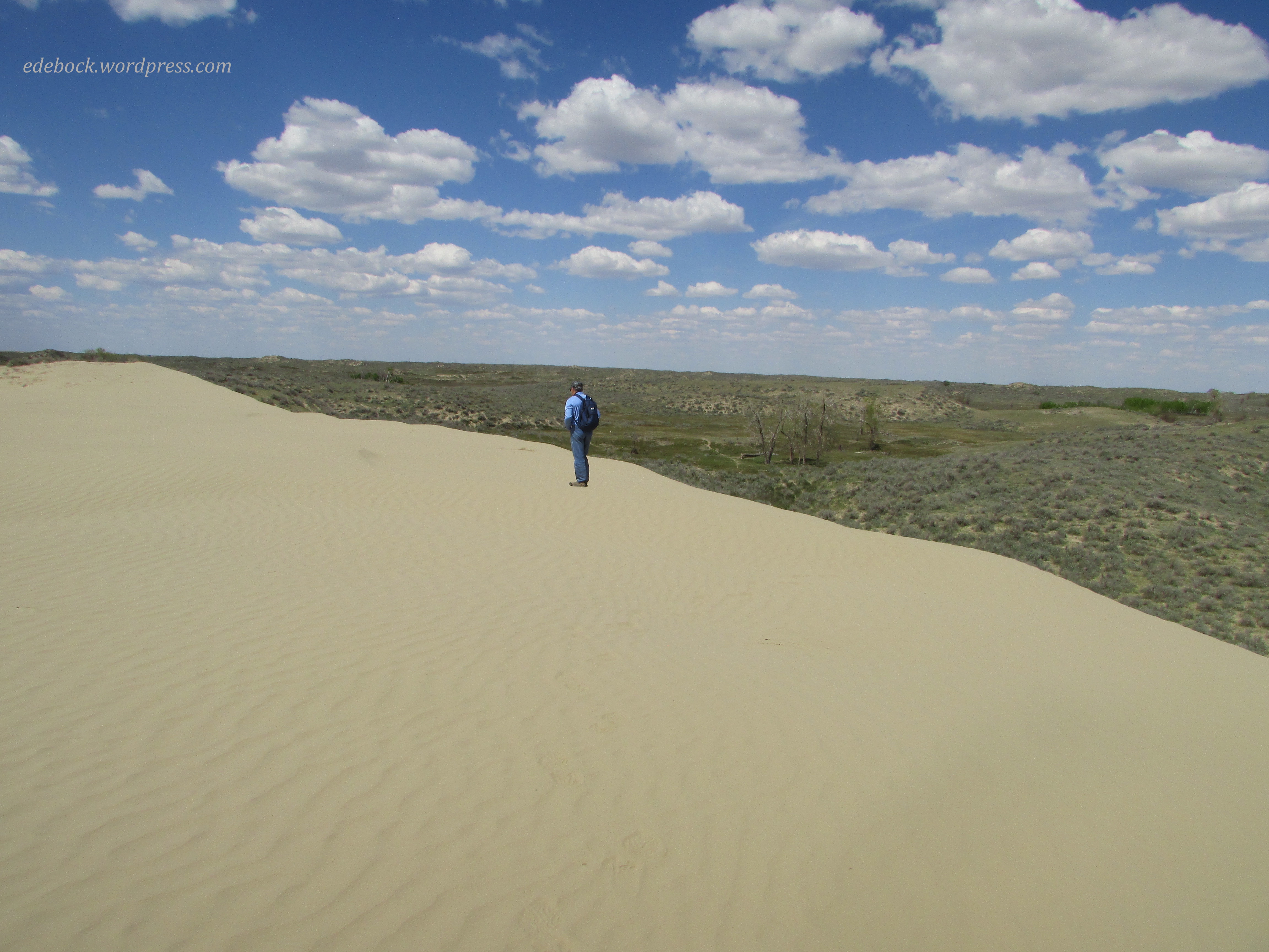
It is impossible to adequately capture the sheer magnitude of the landscape in photos, but here are a few to give you a taste of what you would see if you were to visit.


Writing On Stone has the highest concentration of Indigenous rock art on the Great Plains of North America. We did a two hour Markings of Áísínai’pi tour to view many of these pictographs and petroglyphs. Pictographs are painted on the rock with red ochre, crushed iron ore mixed with animal fat or water. Time and weathering have all but erased these remnants of days gone by.

Although the Blackfoot elders want the rock art to age naturally and no attempt has been made to preserve them, petroglyphs, etched into the stone, have lasted much better. While there is no technique that can accurately date rock art sites, researchers estimate their age based on objects depicted in the artwork as well as by analyzing changes in rock art styles. The next photo shows part of one of the oldest panels in the park.

While the exact meaning of much of the artwork is unknown, much of it was probably ceremonial, created during different rituals like vision quests.


We also hiked the 5 km out-and-back Matapiiksi (Hoodoo) Interpretive Trail and, on a different day, spent a couple of hours wandering our way through the Hoodoo Exploration Area on the hillside between the campground below and the very informative interpretive centre perched on valley’s edge above.


All I could say over and over again was “This is so amazing!”