Hike to Quarry Rock

One of the big advantages of living in (or visiting) North Vancouver is the fact that you’re only minutes away from a wide array of beautiful backcountry hiking trails. Our grandsons didn’t have school today due to a teacher professional development day and though it poured rain overnight this morning’s weather looked suitable for an outdoor adventure.

Quarry Rock is a large rocky outcrop overlooking Indian Arm at scenic Deep Cove. Clouds hung low over the cove as we set off on our hike.

IMG_4111

The 3.8 km round trip trail, which is also part of the easternmost section of the much longer Baden Powell Trail, begins with a long stair climb that quickly informed me that after a long winter, during which the treadmill in our basement mostly gathered dust, my legs and my cardiac conditioning are somewhat out of shape. It didn’t help that in my eagerness to get out and onto the trail, I’d forgotten to have my morning cup of tea! Fortunately, the fresh air, the enthusiasm of our young hiking partners, and the wonderful smell of the damp forest were invigorating.

IMG_4114

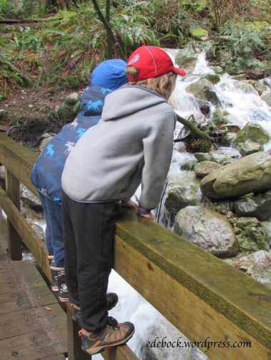
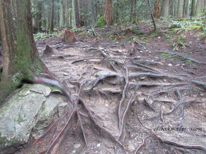
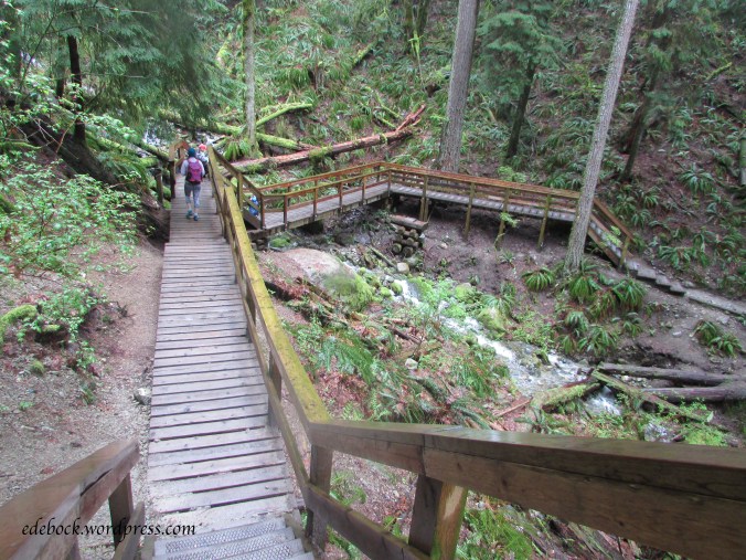
The overall elevation gain on this trail is approximately 100 metres, but there are lots of ups and downs along the way. In addition to many flights of wooden steps, boardwalks and small bridges, much of the trail is a maze of tree roots.
IMG_4130

IMG_4122

IMG_4134

The terrain is typical of North Shore hikes with the trail wending it’s way through densely wooded areas of Douglas fir and hemlock. Morning mist hung in the trees as we set off, but before long the sun began to peek through and we soon started removing layers of clothing.
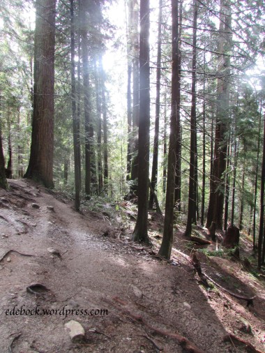
IMG_4137

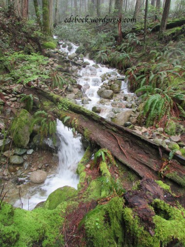
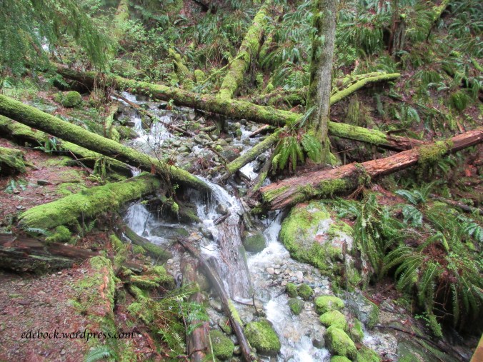
Along the trail, many small creeks filled with spring runoff from the mountains tumble down the hillside in their rush to reach the ocean.
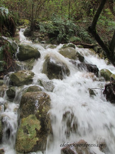
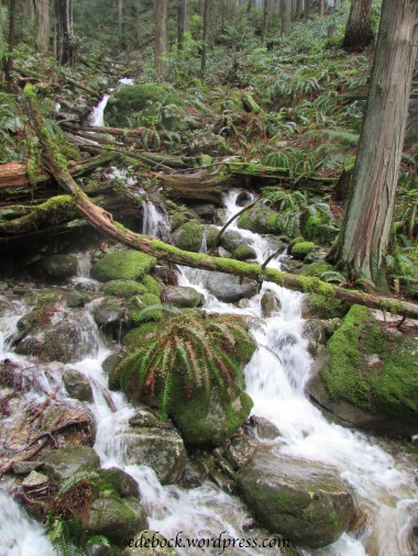
IMG_4120

IMG_4125

IMG_4128

IMG_4132

Eventually the trail climbed up onto solid rock and we walked out onto the bluff where the views were spectacular.
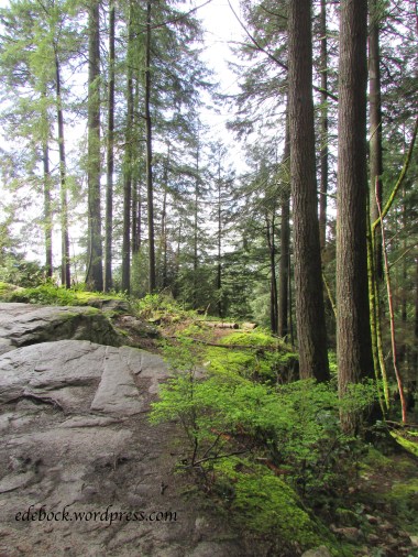
IMG_4150

IMG_4142

IMG_4143

This trail is clearly a popular one. Even on a cool Monday morning, there were lots of hikers out and when we reached Quarry Rock, it was so crowded with people that it was difficult to get good unobstructed photos!


Climbing Cerro de las Culebras

Richard M and Colleen use a laundry service here in Coatepec. For approximately $1.40 CAD per 2 kilograms of laundry, you drop it off one morning and pick it up the next afternoon washed, dried and neatly folded! When Colleen and I were on our way to pick up the laundry yesterday she pointed out a green hill in the distance. On top was a bright yellow circular tower of some sort with a cross its side. I immediately wondered if there was a trail leading up to it.

A quick internet search was all it took to discover that Cerro de las Culebras (Snake Hill) and the lookout tower on its top are easily accessible from the centre of town. This morning was warm and sunny, so after a hearty breakfast the four of us set out to find the trailhead and climb to the top. Forty-five minutes later we were at the bottom of a series of steep cobbled steps leading up the hillside.

img_3677

img_3678

The lush greenery on either side made it a beautiful climb and soon we began to catch glimpses of the town spread out below.

img_3679img_3681

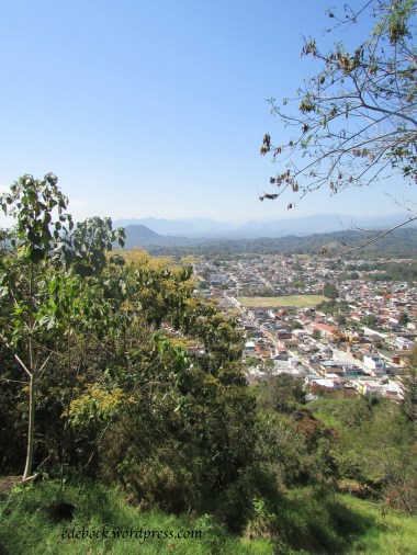
Before we knew it, we were at the top where the lookout tower with a white statue of Christ at its top stands in the middle of a grassy clearing. The views of Coatepec and the surrounding mountains were spectacular. In the distance, we could even see the snow covered peak of Pico de Orizaba, Mexico’s highest mountain and a dormant volcano that last erupted between 1545 and 1566. It is the third highest mountain in North America and the world’s second highest dormant volcano, behind only Kilimanjaro in Africa.

img_3692

img_3690-version-2

img_3686

img_3687-version-2

If you can’t spot Pico De Orizaba in this photo, I’ve circled it in the next one which was taken from the top of the observation tower.

img_3697

img_3701

Hiking the Highlands

Nova Scotia’s Cape Breton Highlands National Park boasts more than 20 trails ranging from short easy walks to spectacular hiking expeditions. We chose one of the most popular, the dramatic Skyline Trail on the western side of the Cabot Trail, for Wednesday’s hike.

As we approached the trailhead, we could see the tiny silhouettes of hikers against the skyline on the ridge high above us. Soon we would join them!

img_3024

The Skyline Trail offers two options. Many choose to stay on the well groomed path that takes them directly out to the headland cliff overlooking the Gulf of St. Lawrence. This out and back route is 7.5 km long. We chose the longer 9.2 km loop.

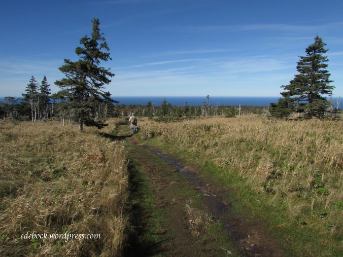
The back side of the loop, the road less traveled, crosses a high plateau. The trail is rougher and some sections were muddy as a result of the horrendous storm that swept across Cape Breton two days earlier.

img_2972

Once we reached the far side of the plateau, the views were gorgeous.

img_2985

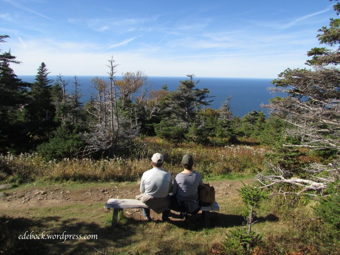
Sometimes we just had to sit and soak them in.

img_2982

Nothing prepared us for the spectacular views from the headland, however! There, a wooden boardwalk and a series of steps took us down the middle of the cliff. The open ocean was far below to our right and a deep ravine to our left. We watched eagles soar below us and vehicles winding their way along the Cabot Trail looked minuscule.

img_3006

Strategically placed by Parks Canada so that it isn’t visible from the highway below, the boardwalk protects the fragile headland plants from trampling and also gave me a sense of security as I crossed the ridge.

Once we tore ourselves away from the the amazing vistas spread out before us, the most used and best maintained portion of the trail took us back to the parking lot. There was a small change in elevation along this portion, but it was very gradual.

img_3018

Is it any wonder that I’m overwhelmed by the beauty of Nova Scotia?

Hiking Kejimkujik Seaside

Nova Scotia’s Kejimkujik National Park is actually one park divided into two completely separate areas. Thankfully, locals refer to it as Keji because I’ve had a terrible time getting my tongue around that name! The meaning of the Mi’kmaq name is uncertain, but the park’s official stance is that it means “tired muscles”. Yesterday, we spent several hours hiking the beautiful Seaside portion of the park; 10.7 km in all and I’m proud to say that my muscles are just fine today!

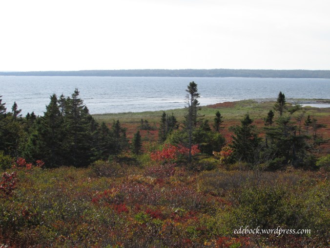
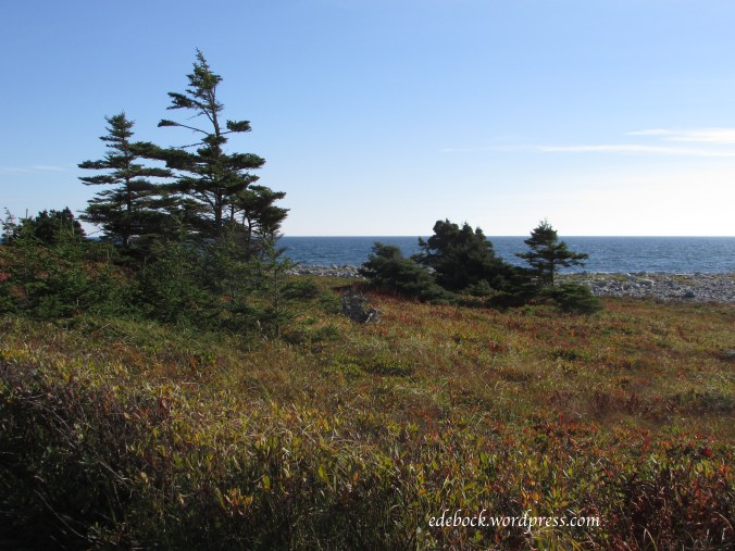
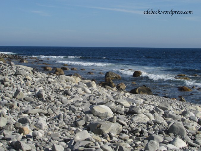
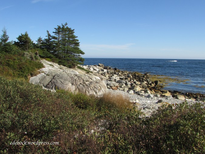
The hiking trails ramble through coastal barrens and bogs, around rocky headlands and along cobbled and sandy beaches offering views that are breathtaking. The trails are well maintained and there’s very little change in elevation, but if you go, you’ll definitely want good footwear for the rocky sections.

Come along on a virtual hike with me.

img_2885

img_2887

img_2890

img_2891

In the past, sheep were grazed on the barrens. Here are the remains of the shepherd’s home; definitely a room with a view!

img_2895

img_2898

img_2903

img_2905

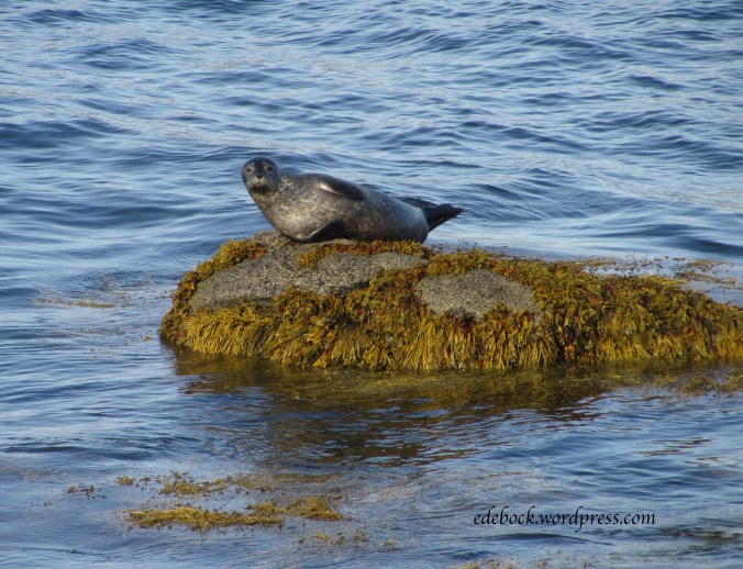
Wildlife share the park with hikers. A sign at the entrance warned that bears have been sighted. Thankfully, we didn’t see any, but there was plenty of scat along the trail. The only wildlife we saw was birds, a squirrel and this harbour seal sunning itself!

img_2908-version-2

img_2915

Hiking Johnson Canyon

I first hiked Johnson Canyon, one of the most popular day hikes in Banff National Park, as a university student in 1974 and I’ve been wanting to do it again ever since. On Sunday, I finally did!

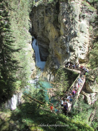
The parking lot was already full by mid morning when we arrived and the trail was packed with tourists. Catwalks affixed to the limestone cliffs make the canyon easily accessible to everyone and the 1.1 km trail to the lower falls involves very little change in elevation.

IMG_2392

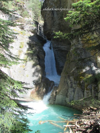
At the lower falls, a bridge crosses the creek allowing both an excellent spot from which to view the falls and access to a water-formed tunnel through the rock to a closer viewing platform.

IMG_2394

IMG_2397

IMG_2399

IMG_2402 - Version 2

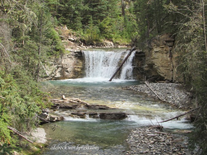
The crowd thinned out a little as we moved on toward the upper falls, another 1.5 km up the trail. Spectacular views continued to surround us as we followed the crystal clear creek.

IMG_2406

IMG_2414

There is significantly more change in elevation on the way to the upper falls and by the time we arrived at the bottom our two little grandsons decided that their legs had hiked far enough. Our son and daughter-in-law took them back to camp while Richard and I pushed on. It was a short climb to the top of the falls where we enjoyed great views of the falls themselves and the deep pool at the bottom.

IMG_2424

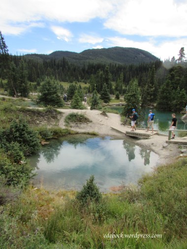
Beyond the upper falls, the trail leaves Johnson Canyon behind and climbs another 3.1 km to the Ink Pots, seven cold mineral springs that bubble to the surface forming small pools in an open meadow. These springs are unique in that they have a constant year round temperature of 4ºC and their basins are composed of quicksand.

I had not hiked beyond the upper falls in the past and wasn’t expecting the steep climb that was involved. Once we’d set out, however, I was determined to finish! The trail seemed to go on forever, climbing higher and higher. Younger legs passed us by, but we pushed onward and eventually reached our goal!

IMG_2436

IMG_2441

IMG_2443

IMG_2449

IMG_2450

My old knees were a bit achy the next morning, but a soak in Banff’s Upper Hot Springs was all they needed to recuperate!

Special dates with Sam and Nate

Separated by distance, we aren’t able to spend as much time with our Vancouver grandsons as we’d like and when we’re here, we also need to spend time with my very elderly father and my special brother, Donald. Fitting in quality time with the boys is a priority, however, and this time we managed to go on a special date with each of them. Though they enjoy a lot of the same activities, Sam and Nate are as different as night and day personality-wise, so one on one time with each of them individually was great.

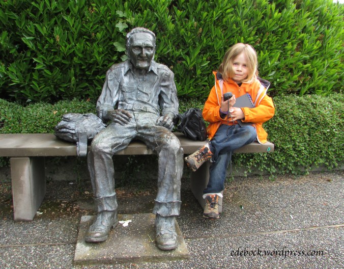
Sam is just finishing first grade, but Friday was a professional development day for the teachers at his school. Nate was at preschool that morning, so it was a perfect time for our date with Sam. He decided that he wanted to go geocaching, a hobby of ours that we introduced the boys to a couple of years ago. We started by searching out a couple of caches within easy walking distance of his house. He was especially intrigued by this old gent sitting very near the location of the first one.

IMG_1677

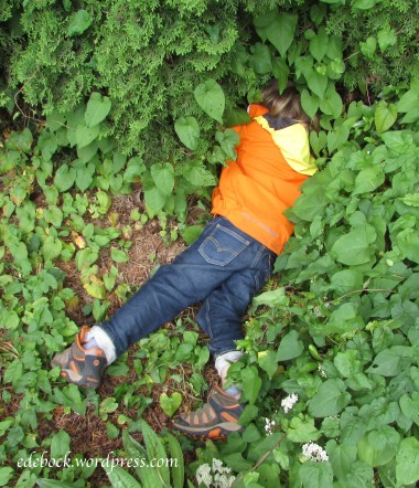
Here he is retrieving the next one from beneath a cedar tree!

IMG_1679

Found it!

Here in North Vancouver you are never far from nature and forest trails are easy to find. Part of our morning was spent in Princess Park. The clue for one of the caches there included this description: “You are steps away when you see a trunk that looks like a bird bath, or a water bowl for a Great Dane.” What in the world could that mean?

IMG_1682

It was obvious when we saw it and sure enough, the cache was hidden nearby.

Sam loves sushi and so do we, so when we asked him where he wanted to go for our lunch date, he chose Valley Sushi, a great little restaurant close to his Lynn Valley home.

IMG_1691 - Version 2

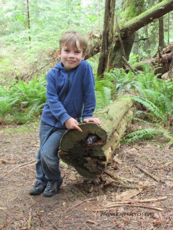
This morning, Sam was back at school and it was time for our date with Nate who only attends preschool three mornings a week. He knew exactly where he wanted to go; Lighthouse Park in West Vancouver. He’d been there once before with his other grandfather and had shown me a brochure containing a map of the trails that criss-cross the park the day we arrived. He wanted to hike to Juniper Point and after hearing about Sam’s geocaching adventure, he also wanted to find some caches. There were two of them along that trail. The hint for the first one said, “Horizontal tree meets vertical tree.” The GPS doesn’t work really well under tree cover, but we thought we’d found the right spot when we found a fallen tree right beside a standing one. When we didn’t find the “treasure” right away, Nate grew bored and wandered a little ways away. Suddenly we heard his shout, “I found something! I think this is it!” Sure enough, he’d located the cache all on his own, tucked into the end of another fallen tree.

IMG_1757

Another cache was found near the beautiful rocky point where we enjoyed a snack overlooking the ocean.

IMG_1753

After completing that trail, I also managed to convince Nate to hike out to the lighthouse. Look closely and notice the bald eagle perched on the weathervane!

IMG_1771

Nate’s date ended just like Sam’s with lunch at Valley Sushi. Even his order was the same; California rolls and Dynamite Rolls. Yum!

IMG_1775

Making memories with the boys on our special dates worked out so well that I think this should be the beginning of a new tradition. I wonder where they’ll want to take us next time we visit?

Sneaker love

Screen Shot 2016-03-18 at 11.07.24 PM 3

Do you call them running shoes or sneakers? Here in western Canada, we use the terms interchangeably.

IMG_1504

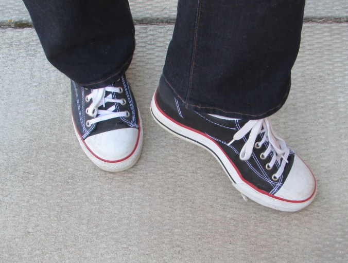
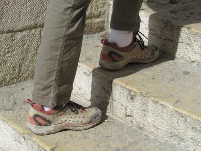
Here’s a fun pair that I’ve had for years. I love wearing them, but I neither run nor sneak in them! In fact, even if I’m just going to do a lot of walking, I want a higher quality shoe that provides better support. For that, I depend on my trusty Merrells, pictured below on the steps leading up to the Jaffa gate in Jerusalem. The dried mud that’s clinging to them is a reminder of the previous day’s climb to Herod the Great’s hilltop palace, the Herodian. That’s just one of the amazing places they’ve taken me since I purchased them in the spring of 2011. They’ve hiked trails on the Pacific island of Saipan, walked the streets of Tokyo, climbed the Great Wall of China and explored many interesting places closer to home.

IMG_1224

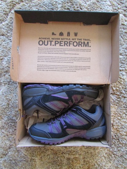
After five years of wandering the world, I know that they’re going to give out on me one of these days, so I picked up a new pair during December’s Boxing week sales. They’re still sitting in their box in the bottom of my closet. I wonder what wonderful adventures they’ll take me on?

IMG_1511

If you’re looking to hit the trails in a durable, supportive hiking shoe, I would definitely recommend a pair of Merrells.

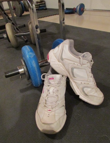
For working out, I wear this pair of Avia cross-trainers. The wider sole on this style of sneaker gives me more stability and support when I’m lifting weights.

IMG_1499

While I have sneakers for various purposes as well as some that are just for fun, not everyone enjoys the luxury of having any shoes at all. New Missions, a non-profit, non-denominational Christian organization, has been establishing churches and schools in Haiti for over 30 years and the Dominican Republic since the year 2000. Through child sponsorship, New Missions provides children with quality education, a daily meal and regular medical care. Today, approximately 10 000 children attend New Missions schools; 10 000 children who need shoes to walk to school. Through the New Missions Give Sneakers campaign, you can help cover all those little feet with brand new sneakers! Visit givesneakers.com to find out how to get involved. The campaign started on April 1 and continues until June 30. While you’re welcome to purchase sneakers and send them to the collection point in Orlando, Florida, postage is expensive, so making an online donation is also an option. I have determined that if I buy myself any shoes between now and the end of June, I will make a matching donation to the Give Sneakers campaign. Why not join me?
give sneakers

October!

“I’m so glad I live in a world where there are Octobers.”
L.M. Montgomery, Anne of Green Gables

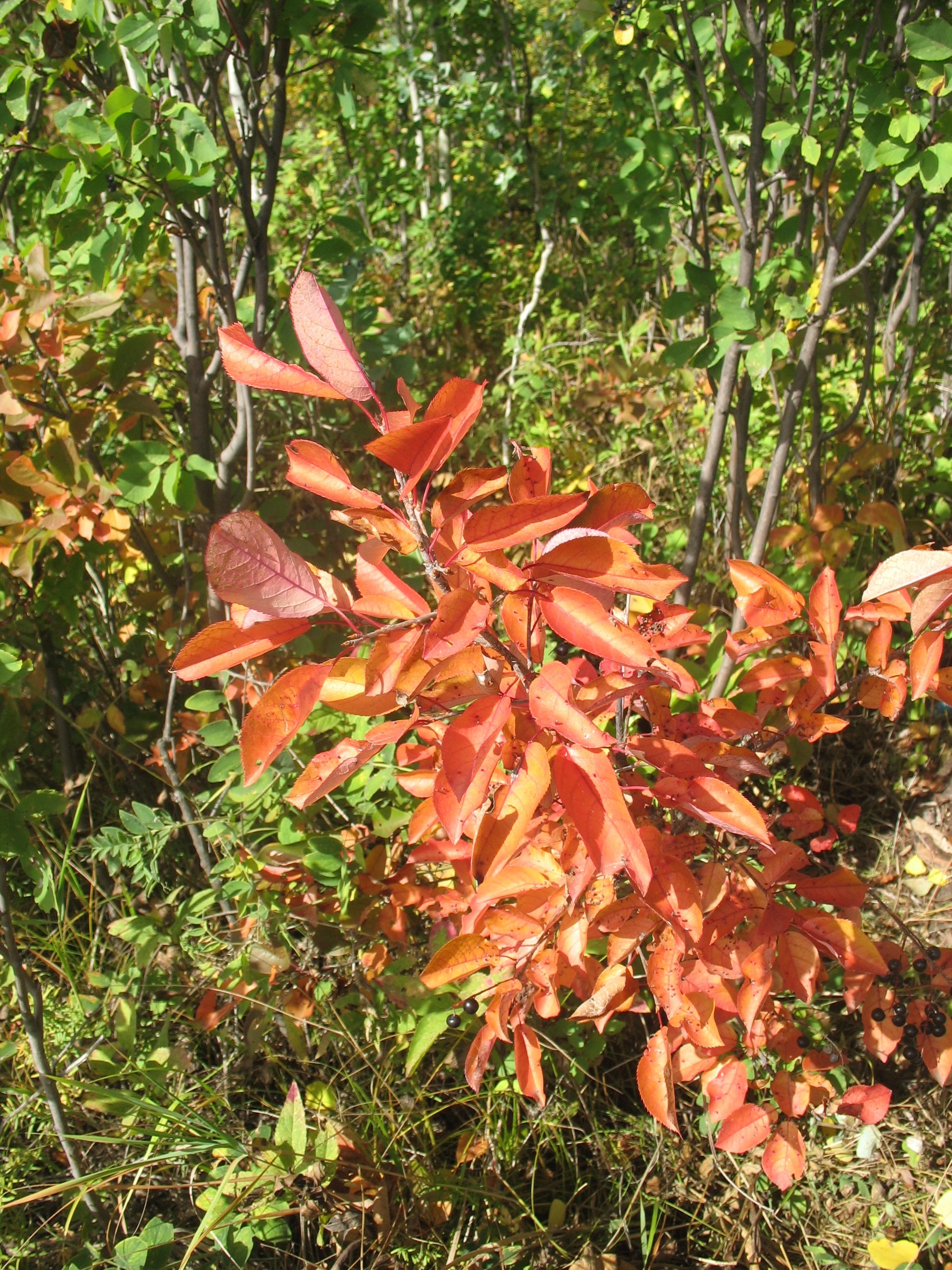
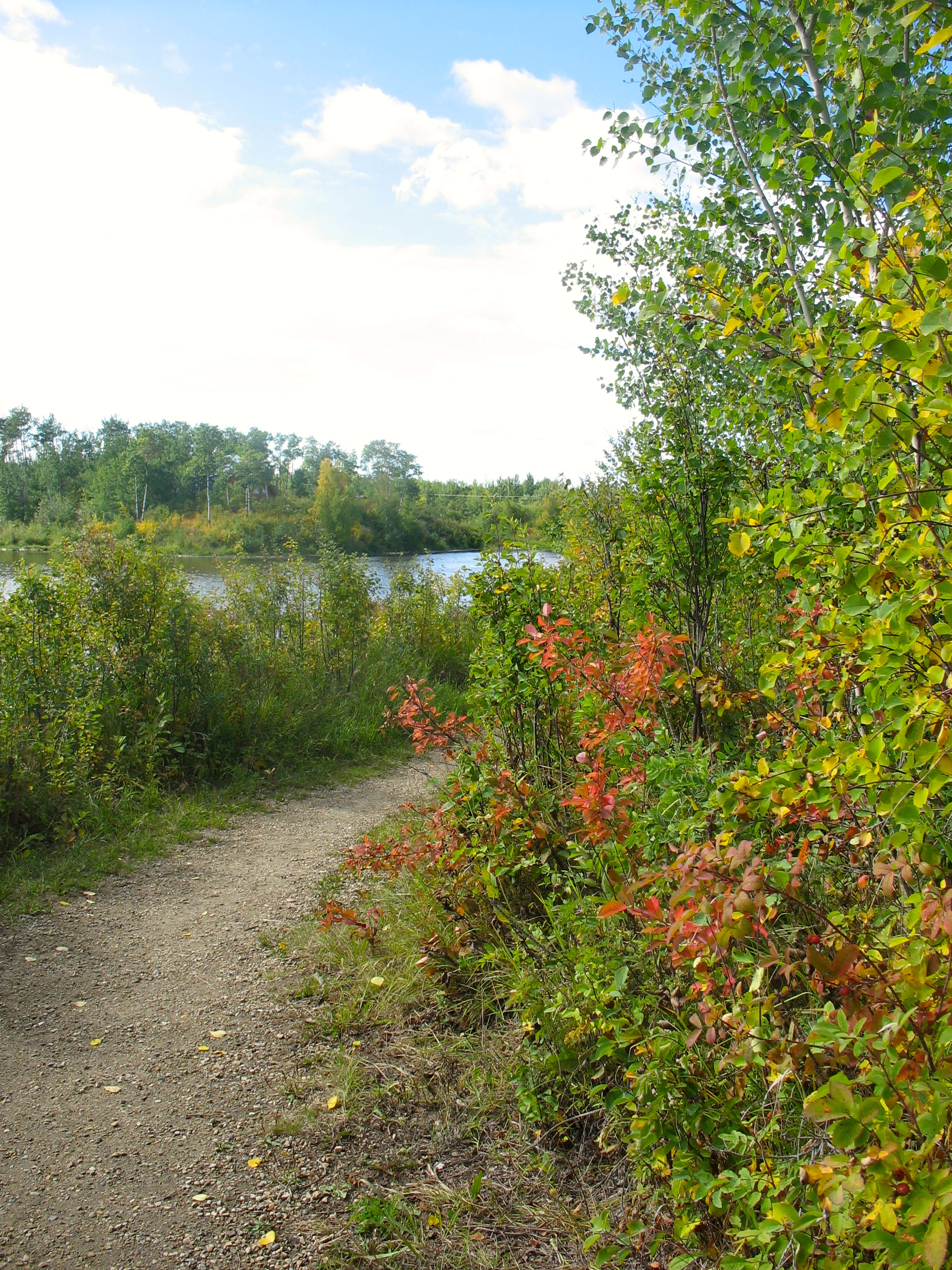
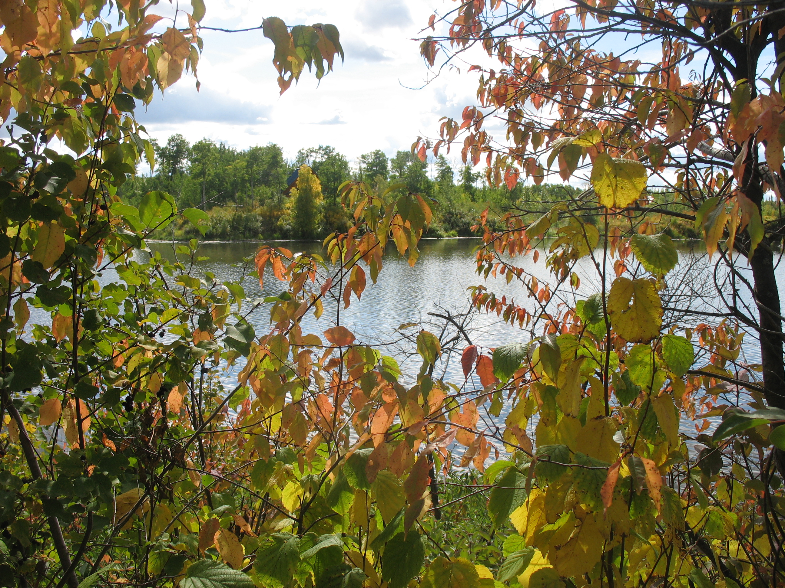
October is my favourite month; a bittersweet interlude between summer and winter. Here in Alberta, it arrives amidst a blaze of colour, but by the end of the month, there will likely be snow on the ground. Each golden day is a treasure.

The tiny hamlet of Gwynne, located midway between Camrose and Wetaskiwin, is nestled in a valley that is absolutely gorgeous in the fall. We often take that route on our way to Edmonton, but until today we’d never stopped to explore the area. I recently learned of two hiking trails in the valley, however, and they were today’s destination.

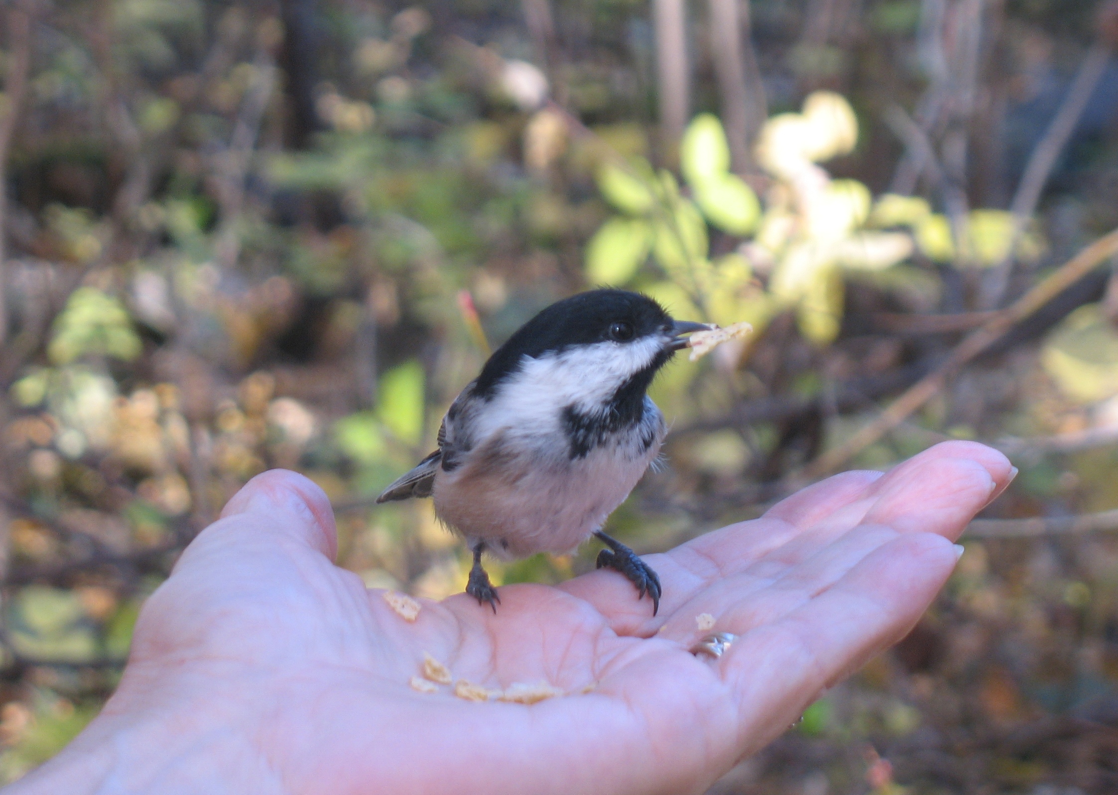
The first, officially called the CPR Canyon Hiking Trail, is a relatively easy 4 km walk along a creek. The name seems apt as the railway follows the creek on the opposite bank and three trains rumbled by while we were hiking. It’s known locally, however, as Chickadee Trail and we soon found out why!

The inquisitive little critters were landing on my outstretched hand before we even took any food out of the pack on Richard’s back. Soon we were sharing lunch!

IMG_5726

IMG_5730 - Version 2

There were six geocaches hidden along the trail which added to our fun.

The second trail circled through Pipestone Creek Conservation Lands where we searched out three more geocaches and enjoyed some spectacular views including an oxbow lake.

IMG_5760

There are clearly many more trails criss-crossing the conservation area and we found a lovely little campground close by, so I suspect that we’ll be spending more time there in the future.

IMG_5741

I have no idea how far we walked today, but my knees are telling the tale this evening and it’s time to go soak in a hot bath!

IMG_5735

Hopefully October holds many more days like this one!

Fall camping

IMG_5618I’ve always wanted to go camping in the fall; always hoped for just one more outing with the trailer before winter hit. As teachers, it never happened. We were back in the classroom and up to our eyeballs in work by late August or the first week of September. Then, with retirement came several years of helping our friend, Louis, with harvest. I loved being out on the combine, but it meant that there was no time for camping in the fall.

Finally, this year it happened! We packed up the trailer last Wednesday morning and headed for Miquelon Lake Provincial Park, less than an hour and a half from home. Surrounded by the spectacular colours of the season, fall camping was everything I always thought it would be! Though we got caught in the rain while out geocaching on Wednesday afternoon, the clouds soon disappeared and for the remainder of our time the weather was glorious.

Here in Alberta, we don’t get the wide variety of fall colours that are found in eastern Canada, but everywhere I turned I was surrounded by beauty and I took dozens of pictures!

IMG_5594  IMG_5617

IMG_5633

We found 14 geocaches within the park boundaries, but the highlight of our trip was definitely Friday’s hike. We left the trailhead late in the morning intending to hike 7.3 kilometres, but we’d completed all but 1.5 km of that by the time we stopped to eat lunch! Digging out our trail map, we quickly decided to add what we had originally thought might be a separate hike sometime in the future. In the end, we covered 13.2 km! Considering the fact that just a few months ago, I couldn’t walk more than two km without playing out, I was pretty stoked!

IMG_5608  IMG_5613

IMG_5647

Those of you who’ve been reading my blog for very long know how much we enjoy exploring old abandoned houses that give us glimpses into life in days gone by. Imagine our surprise and delight when Richard spotted an old brick chimney rising out of the bush a short distance from the trail. Of course, we had to take a closer look! Although the girl manning the park office couldn’t give us any information about the house or its original inhabitants, it was easy to see that the two storey structure and its smaller outbuilding must have been there long before the park was established in 1958.

IMG_5663

IMG_5652

IMG_5659

Though we didn’t see any of the larger wildlife, including deer, moose and elk, that live within the park, there was clear evidence of their presence along the trails. Plenty of fresh hoof prints and droppings told us they weren’t far off. What we did see were squirrels, muskrat, tiny frogs, a surprising number of garter snakes and an abundance of water fowl. As Miquelon Lake and the numerous wetland areas within the park are located within two of North America’s migratory flyways, flocks of migrating geese honked their way overhead and settled on the lake each evening.

Miquelon Lake is also part of the Beaver Hills Dark Sky Preserve, an an area that has been established to reduce the glare of artificial light and increase the visibility of the night sky. Each evening, as we sat around the fire in the crisp evening air, darkness settled around us and stars filled the sky. What could be more relaxing?

Dare I hope for one more camping trip before winter arrives?

IMG_5623

Donalda day trip

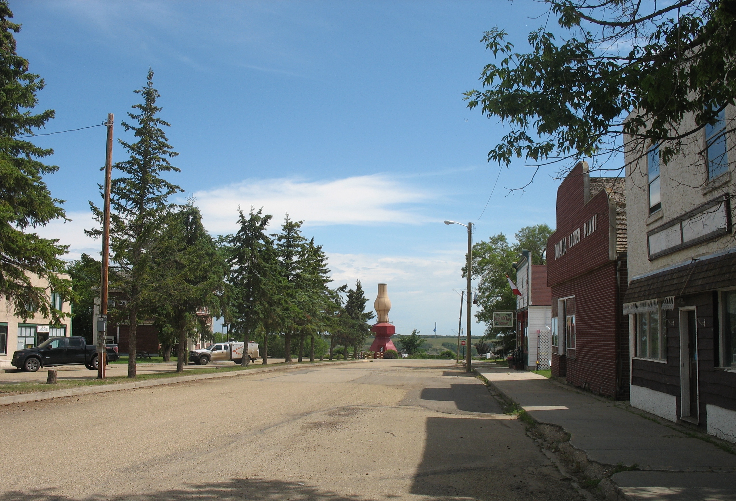
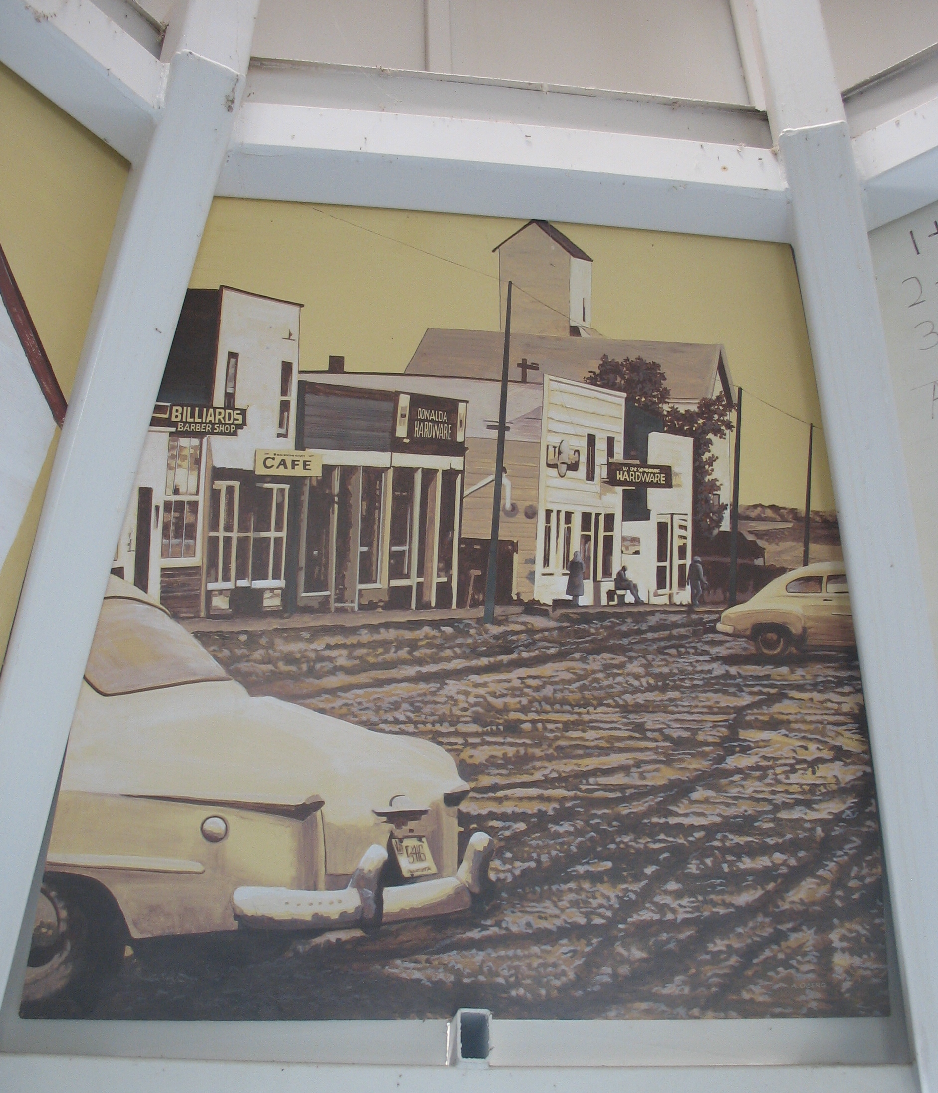
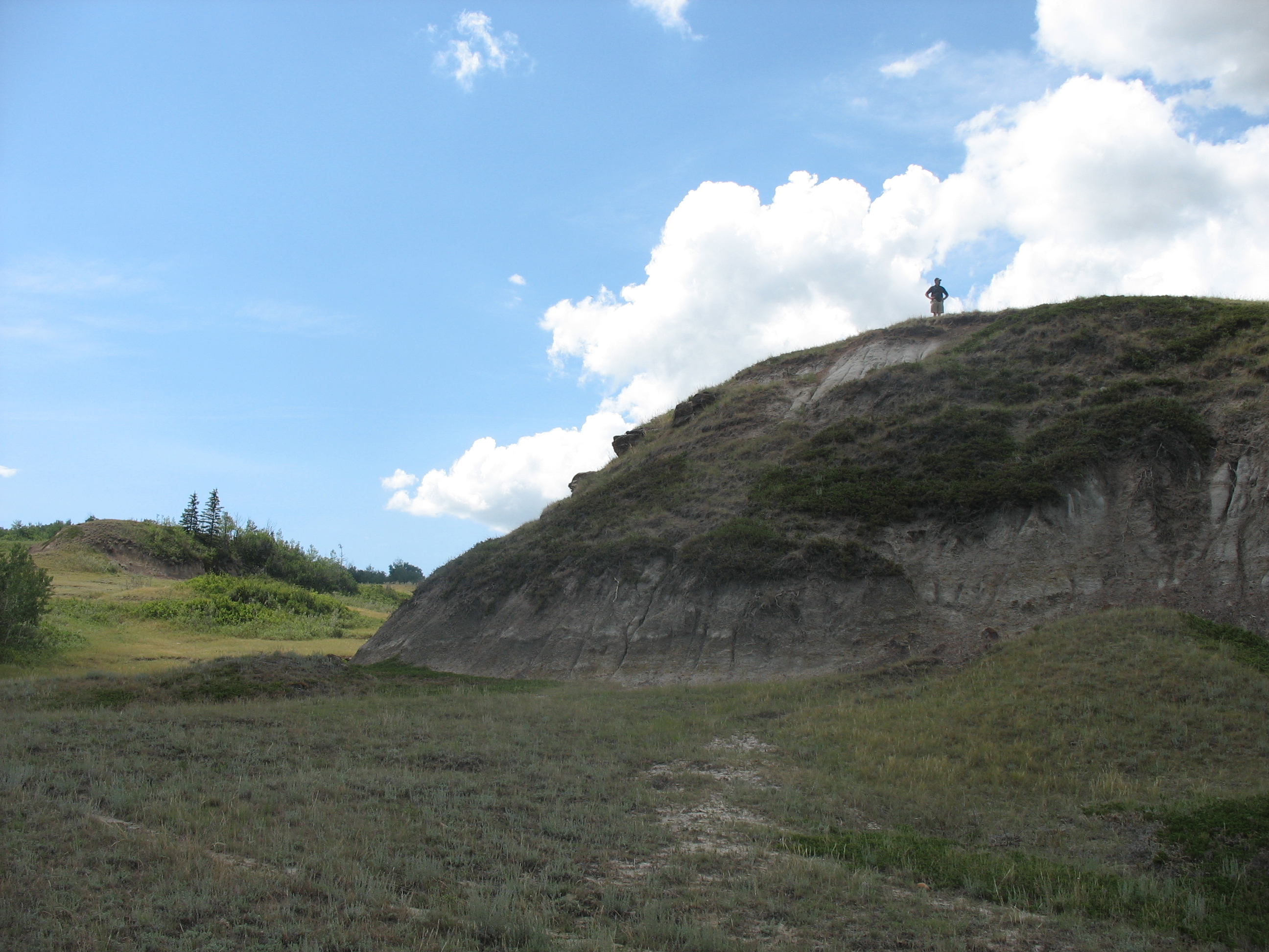
Every time we travel Highway 53 on our way to Red Deer, Calgary or other points to the south, we dip down into Meeting Creek Coulee, the northern most point of the Canadian Badlands. As we climb back out, we pass the access road to the tiny village of Donalda. With its population of about 260 people, it perches on a bluff overlooking the vast valley below. Over the years, we’ve often thought that this would be a great area to go hiking and apparently, we weren’t the only ones. A few years back, the community developed and advertised a hiking trail. When we discovered that geocachers had hidden some caches both in town and along the trail, our interest grew and finally, yesterday was the day. We packed a picnic lunch and off we went! IMG_5318Donalda’s greatest claim to fame is the world’s largest lamp, a replica of the oil lamps that once lit the homes of early settlers across this land. Standing 42 feet tall at the end of the town’s quaint main street and just across the corner from a museum that houses the world’s largest collection of oil lamps, it was lit for the first time on July 1, 2000. All night, every night, its light shines out over the valley below. Inside its base, visitors enjoy a series of paintings depicting the town in its earlier days. Our first cache was hidden just outside. IMG_5327 IMG_5323  IMG_5322 IMG_5321 IMG_5316 After picnicking close to the lamp and the restored railway station nearby, we searched out the other two caches that are hidden in town and then set off along the hiking trail. We expected to find ourselves walking along the rim of the coulee, but instead, we followed a woodland trail that eventually led us out onto an open bluff overlooking the valley below. Seldom ones to stay on the beaten track, after stopping to rest at a picnic table with a spectacular view, we set off to follow an animal trail down into the valley. IMG_5351 I hiked down to the flat valley floor while Richard explored the interesting formations on another close by bluff. IMG_5344 IMG_5345 IMG_5346 The valley is far vaster than we ever realized from the highway and my photos hardly do it justice, but it was great to finally trek through a very small part of it. There are so many interesting places close to home if one but takes the time to explore them! IMG_5334 IMG_5335 IMG_5336