Our grandchildren have been blessed with an abundance of toys, games, and books so when two of them had birthdays this spring, we decided to be creative. Our gift to each of them was a special day on their own with Gram and Grandpa once school was out for the summer. Yesterday was 11-year-old Drew’s day.
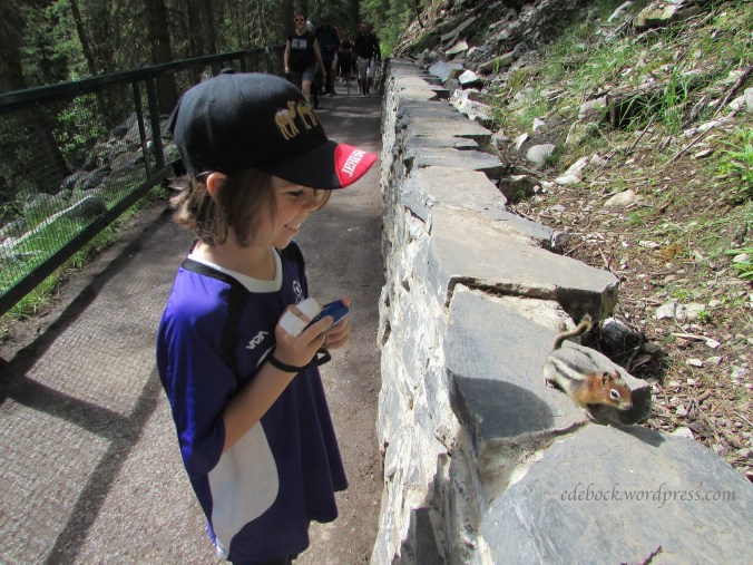
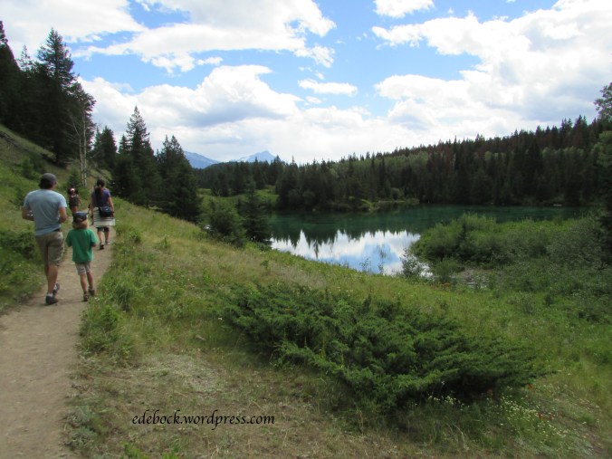
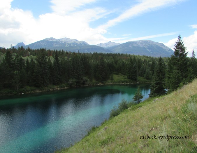
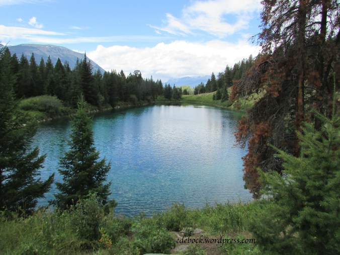
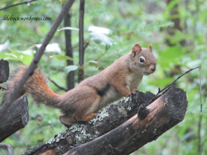
We left his Calgary home early in the morning and headed for Banff National Park where our day started with a hike in beautiful Johnson Canyon. Drew was beyond excited when we spotted a black bear crossing a hillside shortly before we arrived at the trailhead. The bear was too far away to get a good photo, but the entertaining little ground squirrels (like the one shown above) and red squirrels along the trail certainly weren’t!
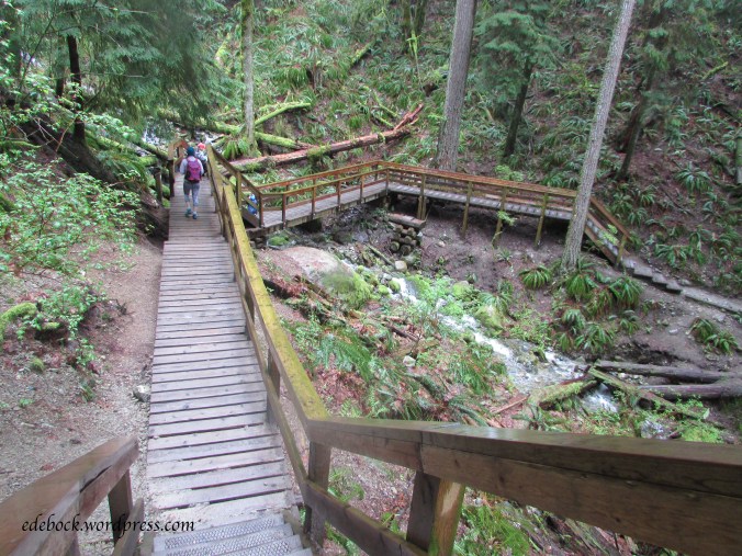
Catwalks affixed to the limestone cliffs make the canyon easily accessible to everyone and the 1.1 km trail to the lower falls involves very little change in elevation.
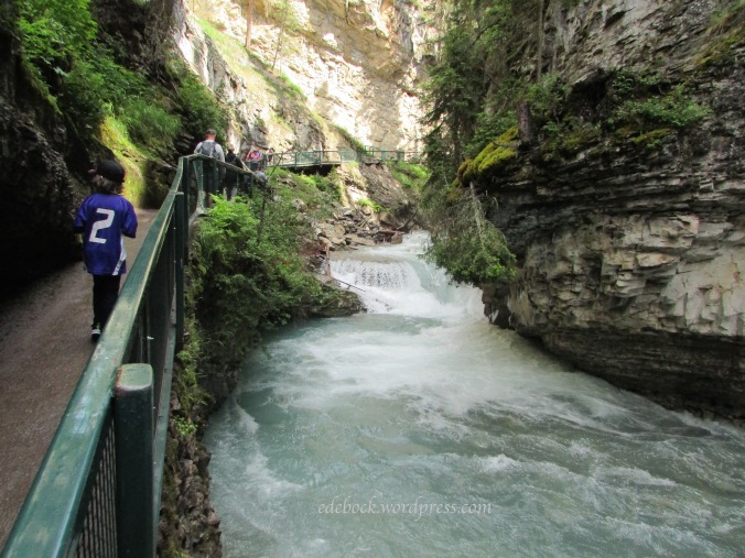
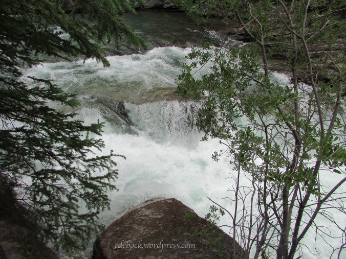
At the lower falls, a bridge crosses the creek allowing both an excellent spot from which to view the falls and access to a water-formed tunnel through the rock to a closer viewing platform.


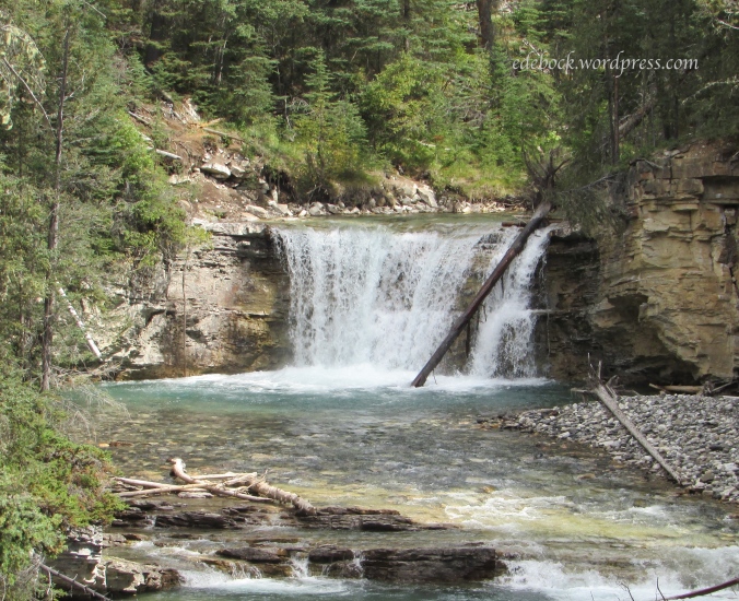
The crowd thinned out a little as we moved on toward the upper falls, another 1.5 km up the trail. Spectacular views continued to surround us as we climbed.

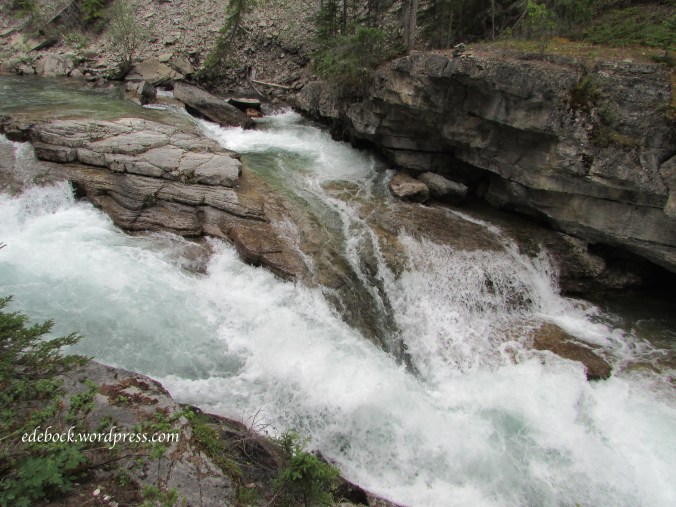
We knew that the water level was much higher than when Richard and I did the same hike almost three years ago, but I didn’t realize how much until I compared photographs. Considering how much rain Alberta has been getting this season, I guess it shouldn’t be surprising.
August 2016
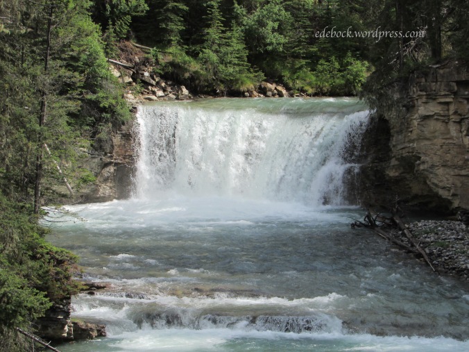
July 2019
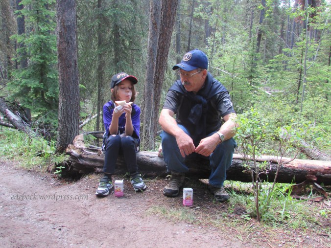
After reaching the spectacular upper falls, we stopped to enjoy our picnic lunch before continuing our adventure.


As we started back down the trail Drew announced, “This is the best birthday present ever!” It was then that I realized that the day was as much a gift to ourselves as it was to him! It definitely filled my heart to overflowing.
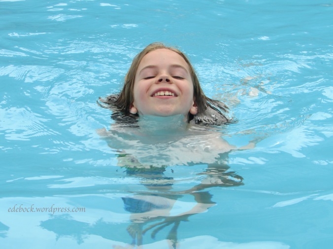
In addition to the hike, Drew had been eagerly looking forward to relaxing in the Banff Upper Hot Springs. I love this photo of his “floating head”!

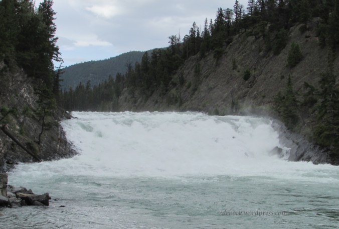
After soaking our tired feet and muscles in the hot pool, we made a quick stop at the Bow Falls Viewpoint then ended our day with a delicious restaurant dinner and a browse through a few gift shops before bringing a very tired boy home!
Tomorrow we have a completely different agenda planned for his 9-year-old sister’s special day.