The last camping trip

Every year, as summer winds down and the camping season comes to an end, I yearn for one more outing with the trailer. This year, that last camping trip took us just a little over an hour from home to Black Nugget Lake, so named because the park and the adjacent Coal Creek Golf Resort were built on the site of a former coal mine.

Our youngest son and his family joined us for the weekend and together we enjoyed games of ladder ball, bocce, and tether ball. Nate also got both of his older kids out on the lake in our kayak. If you look closely, you can see him and our grandson, Yari, in this photo.

IMG_4522

Lots of time was also spent relaxing as demonstrated so well by our granddaughter, Harlow!

IMG_4523

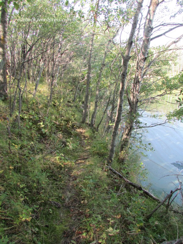
After the family left to return to the city for work and school, hubby and I stayed on for an extra day to do some hiking and kayaking. Unfortunately, the trails that were promised on the campground map were unmarked and badly overgrown. We followed one of them as best we could for about twenty minutes before it petered out entirely and we returned to camp.
IMG_4553

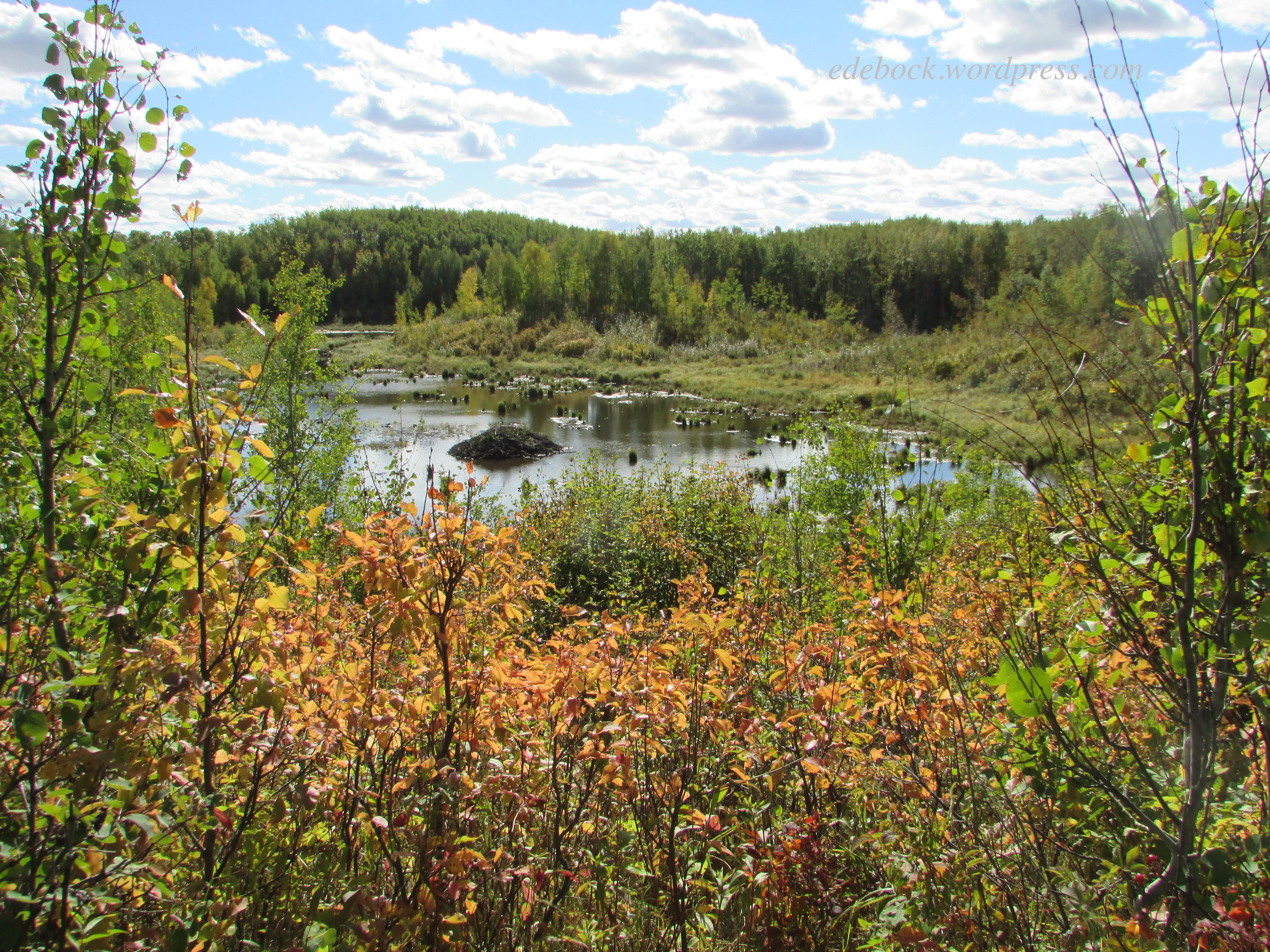
Kayaking was much more successful. The long winding lake, a haven for waterfowl, was fun to explore.

IMG_4558

In addition to Canada geese and a variety of ducks, we saw numerous Greater Yellowlegs, a fairly large shorebird, as well as a stately Great Blue Heron. “Hank the Heron”, as Harlow dubbed him when she and Nate spotted him from the kayak, was standing guard on a tiny gravelly island when we first saw him. When we got too close for comfort, he flew off, but landed on the lakeshore where I was able to get close enough for a few more photos.

IMG_4555

Greater Yellowlegs

Great Blue Heron (with a Greater Yellowlegs in the foreground of the first photo) 

We managed to spend a total of thirty-five nights in the trailer since the first week of June this year. Although we don’t expect to take it out again this season, we do hope to do some day trips that will include more hiking and kayaking. Fall is definitely in the air and nights are getting chilly, but I’m hanging onto summer as long as I can!

IMG_4560

A walk in God’s garden

Several of our planned hikes over the past two weeks were cut short or thwarted entirely by flooding due to unusually high water levels. In spite of that, we did manage to complete a few and one of them stands out as being the most amazing and unique.

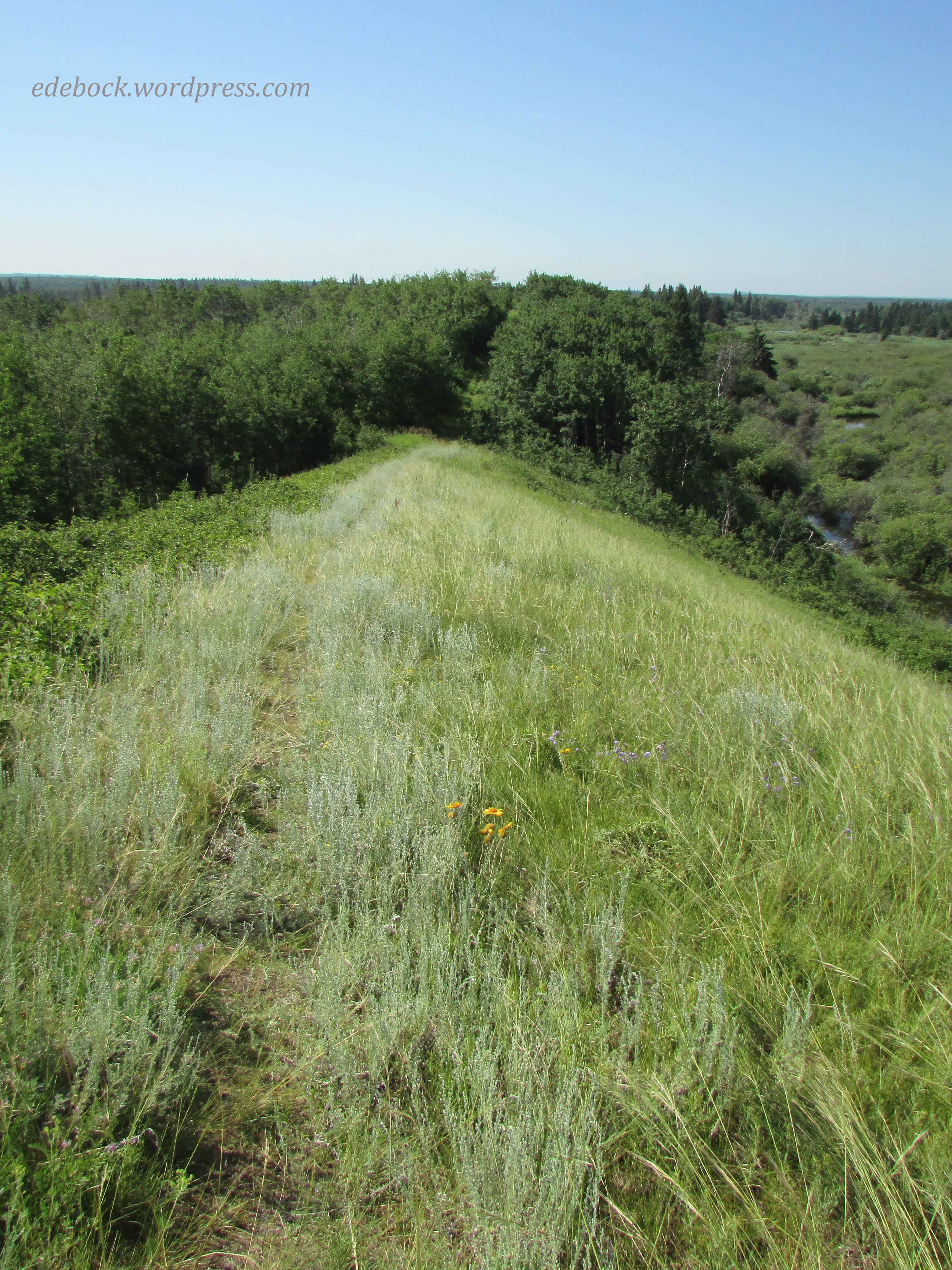
An esker is a long, narrow ridge of winding hills composed of sand and gravel that was deposited thousands of years ago by a stream that ran underneath a glacier that once covered the land. One such ridge lies to the west of Laurier Lake and extends south into Borden Lake in Alberta’s Whitney Lakes Provincial Park. The 5.8-km out-and-back Borden Lake trail follows the top of the esker. 

IMG_4296

IMG_4299

IMG_4305

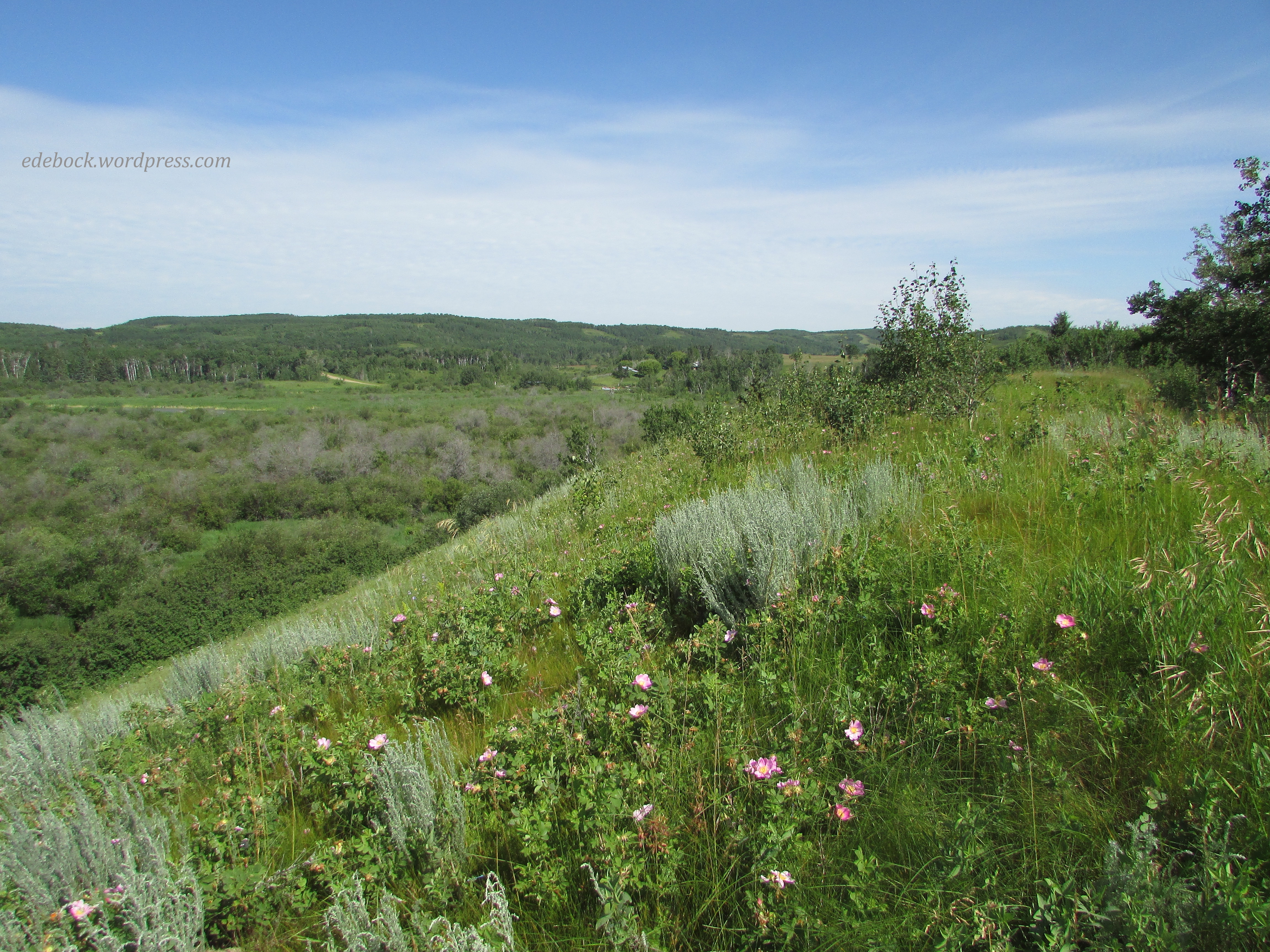
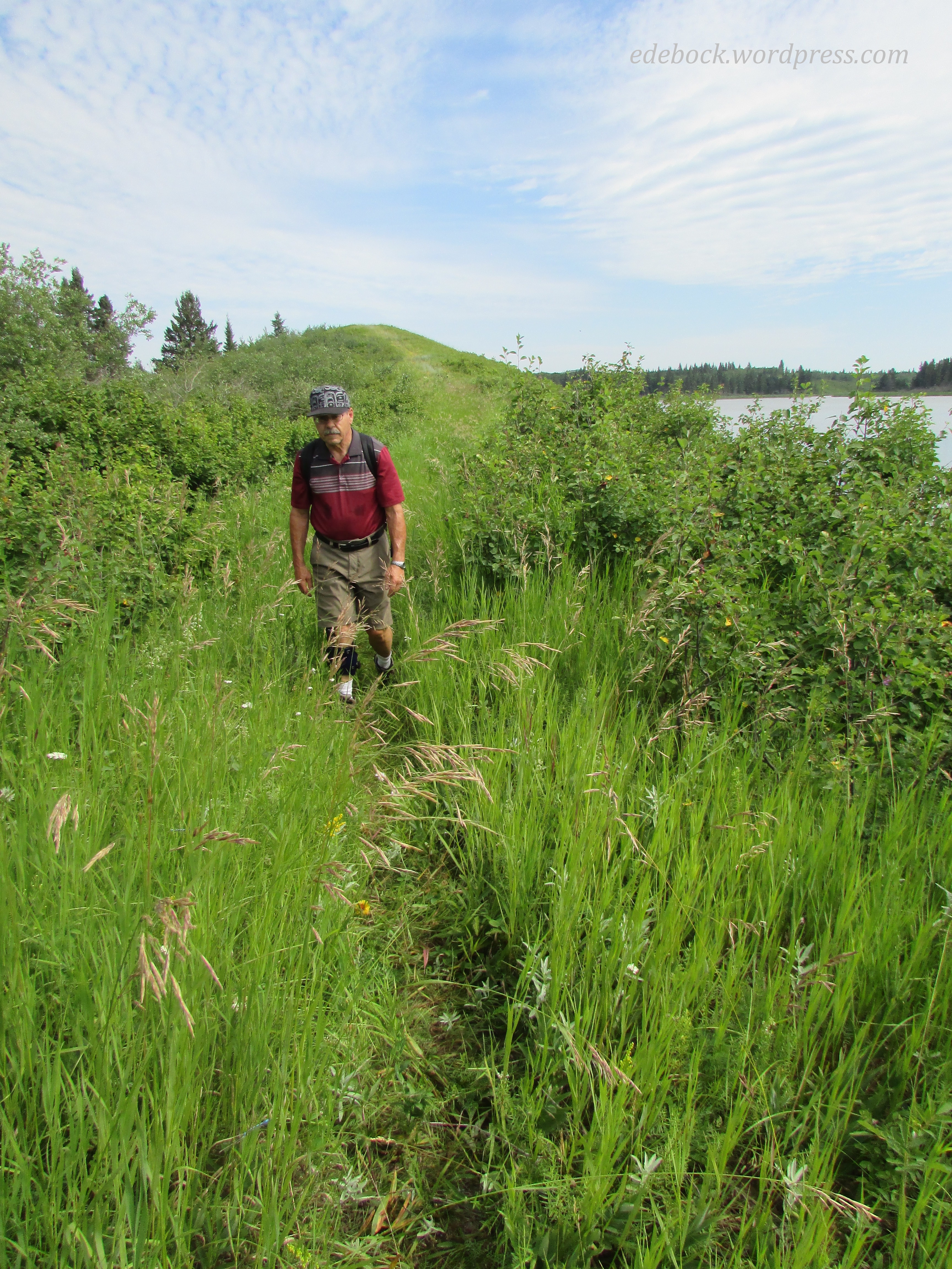
The trail is considered a moderately challenging one because the esker is far from flat. As we made our way up and down its rolling hills, we found ourselves surrounded by a myriad of wildflowers in bloom. I truly felt like I was walking in God’s garden! 

While I recognize some of the flowers like the wild rose, Alberta’s provincial flower, and the lone tiger lily, there were many others that I didn’t know by name.

We had the trail entirely to ourselves. There were no people for miles around. Thankfully, we didn’t see any bears either although there was some fairly fresh sign on the path and with bushes loaded with berries alongside the trail, they probably weren’t very far away. We kept our bear bell jingling and our bear spray close at hand just in case it was needed! We actually did see a young bear in the campground the following day, but thankfully, we were in the vehicle at the time and it was nowhere near our campsite. 

IMG_4312

As we continued hiking, Borden Lake soon came into view and if you look closely, you can see the esker jutting out into the water. The trail goes to the very end.

IMG_4318

IMG_4319

When we reached the end, hubby sat down to rest, but I took off my shoes and socks and waded right in! 

IMG_4322

The water was refreshing, but soon it was time to retrace our steps back through the garden and return to camp. 

Furries, feathers, and fireflies

If you’ve been following this blog for very long, you are no doubt aware that hubby and I love to camp, hike, and kayak. Here in Canada, the season for enjoying those activities is short and if we’re not careful our calendar fills up with other activities such as the meetings that we’ll be attending next week as delegates for our church. Sometimes we have to be creative in order to carve out time for the things we most love doing, so that’s what we did this past week.

Hubby had a medical appointment in Vermilion, a town a little less than an hour and a half northeast of here. (You know you’re in Canada if you measure distance by how long it takes to drive somewhere!) Vermilion happens to border a provincial park with a campground, an extensive network of trails, and a reservoir suitable for kayaking. What could have been a day trip for a doctor’s appointment became a three day camping trip instead!

IMG_4167

We quickly discovered that Vermilion Provincial Park is built on a giant gopher colony. These furry little creatures, a bane to farmers when they take up residence in their fields, were absolutely everywhere! At any given moment, we could see half a dozen or more of them grazing, standing like sentinels, or wrestling and playing on the grassy slope in front of our trailer. The young ones were particularly entertaining to watch. They were very curious about us too!

Vermilion is hometown to Beckie Scott, Canada’s most decorated cross-country skier. A three time Olympian, Beckie won gold in Salt Lake City in 2002, becoming the first Canadian (and the first North American woman) to win an Olympic medal in cross-country skiing. The road leading into Vermilion Provincial Park is called Beckie Scott Trail and the Vermilion Nordic Ski Club, based out of a renovated 1905 train station in the park, maintains groomed ski trails during the winter which are used for hiking in the summer.

We did a 7.5 km hike on Thursday afternoon. While much of the hike was fairly level, as we made our way up and down some of the hills along the way, I was glad I was on foot and not skis! As a former cross-country skier, I knew that some of those uphill slopes would have been gut-busters!

As we set off on the trail, we noticed a “Bear in Area” sign. According to other campers, it was a mama with cubs. Not wanting to come face to face with her, we kept our bear bell jingling as we walked and we also had bear spray close at hand in case it was needed. Thankfully, it wasn’t. The only wildlife we spotted was these two bunnies who didn’t seem too concerned about our presence.

IMG_4158

Much of the time, the trail followed the edge of the Vermilion River reservoir. The water was almost dead calm, unlike the previous afternoon when we contended with a fairly stiff breeze while out in the kayak.

IMG_4150

Red-winged blackbirds are a common sight when kayaking on Alberta lakes and rivers, but I managed to get better photos of these ones with my feet solidly on the ground than I’ve ever been able to get from the boat.

IMG_4154

After a day in the fresh air and an invigorating hike, we were ready to let the campfire die out and head for bed by 11 PM, but I had to stay up later. Earlier in the day, a couple camped near us had told us that they’d seen fireflies the night before, something we’d never seen in Alberta before. At this time of year, however, with the longest day of the year less than two weeks away, the sun doesn’t set until nearly 10 PM and it isn’t fully dark until close to midnight. I had to stay up long enough to see those fireflies! Sure enough, when I stepped back out of the trailer just before crawling into bed, little dots of light flashed all around! It was magical!

Hoodoos and buffalo beans

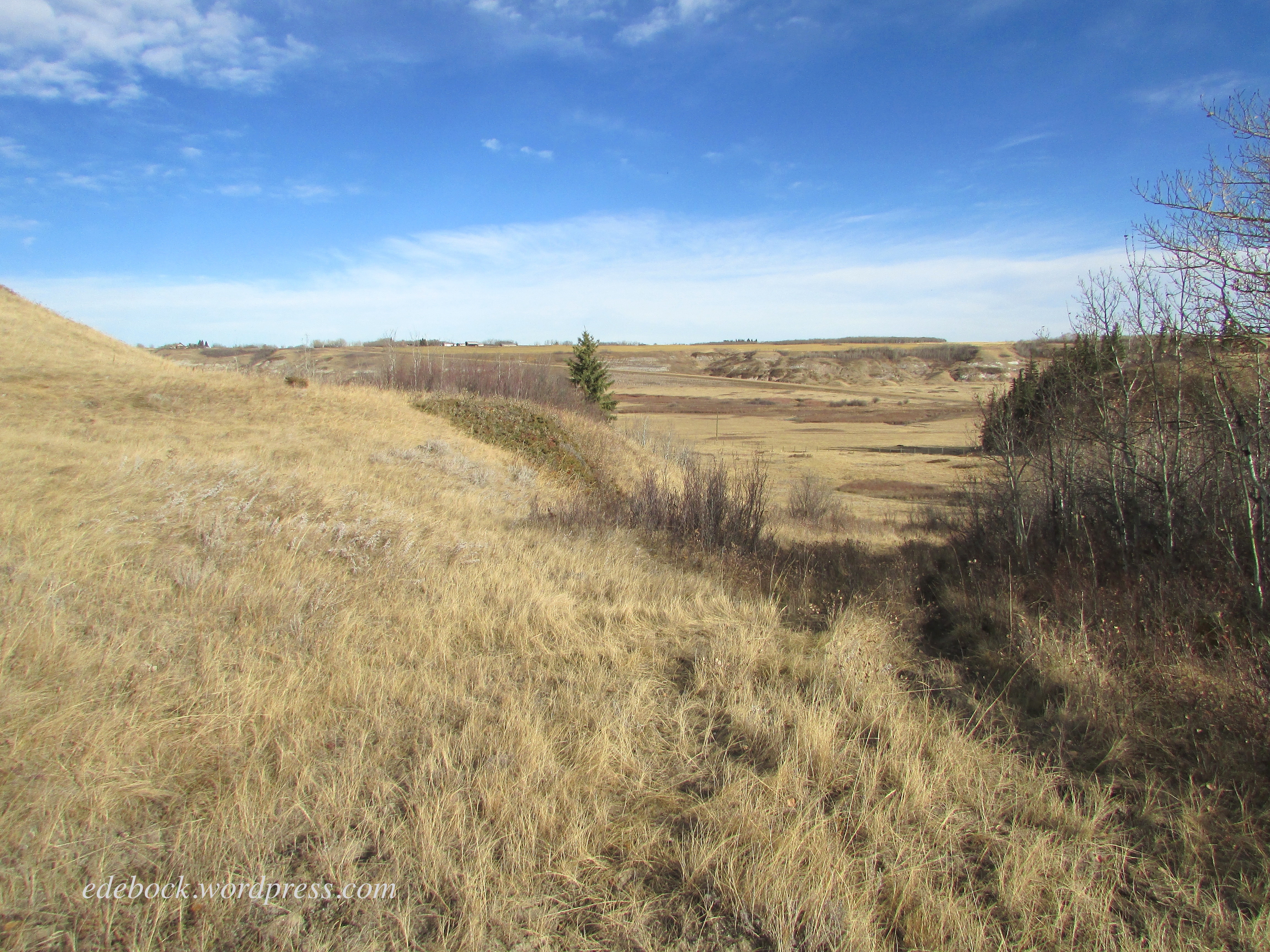
The last time we hiked the Meeting Creek Coulee near the village of Donalda was late in the fall. The trees were bare and the landscape was shades of gold and brown. Today’s hike through the same area was entirely different! 

IMG_1808

IMG_4124

Everything was so green and there were wildflowers everywhere, especially the bright yellow buffalo beans that bloom across the southern half of Alberta and Saskatchewan at this time of year. 

IMG_4119

I’ve always wondered why they were called buffalo beans, so when we got home today I consulted Google and learned that the flowers appear around the same time as the Indigenous people of the prairie used to conduct their spring buffalo hunt. Apparently the plant produces bean-like seed pods later in the season, but they shouldn’t be eaten as the entire plant contains poisonous alkaloids.

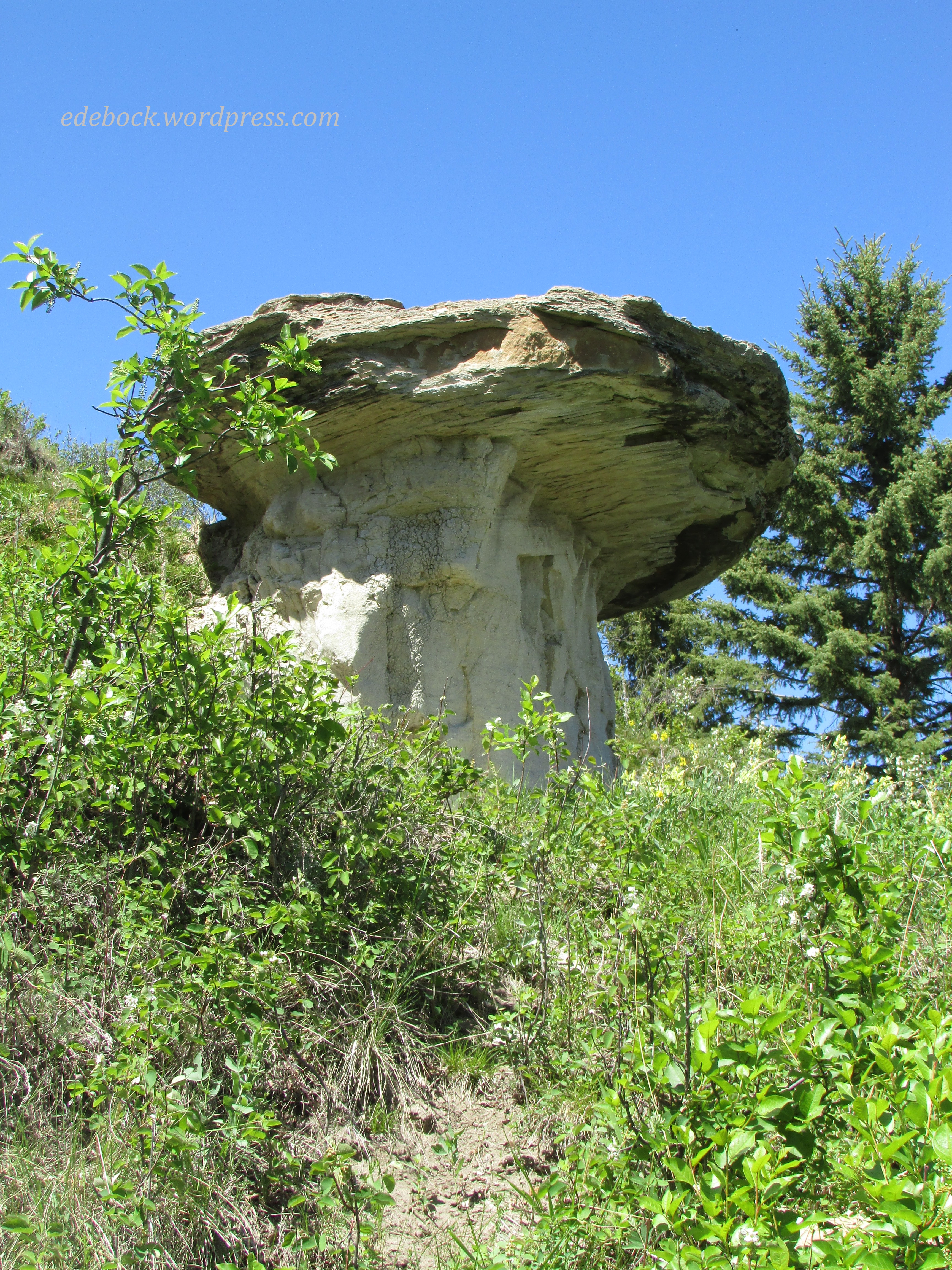
We started today’s hike on the woodland trail that follows the rim of the massive coulee, the northernmost part of the Canadian Badlands, but we soon dropped down into the valley. As we wandered up, down, and around the bluffs that form its walls I spotted an impressive looking hoodoo emerging from the bushes on the hillside above us. Of course, we had to climb up and take a closer look.

IMG_4131

IMG_4125
 We decided to sit and eat our lunch on the hillside where Richard is standing in this photo.

IMG_4126

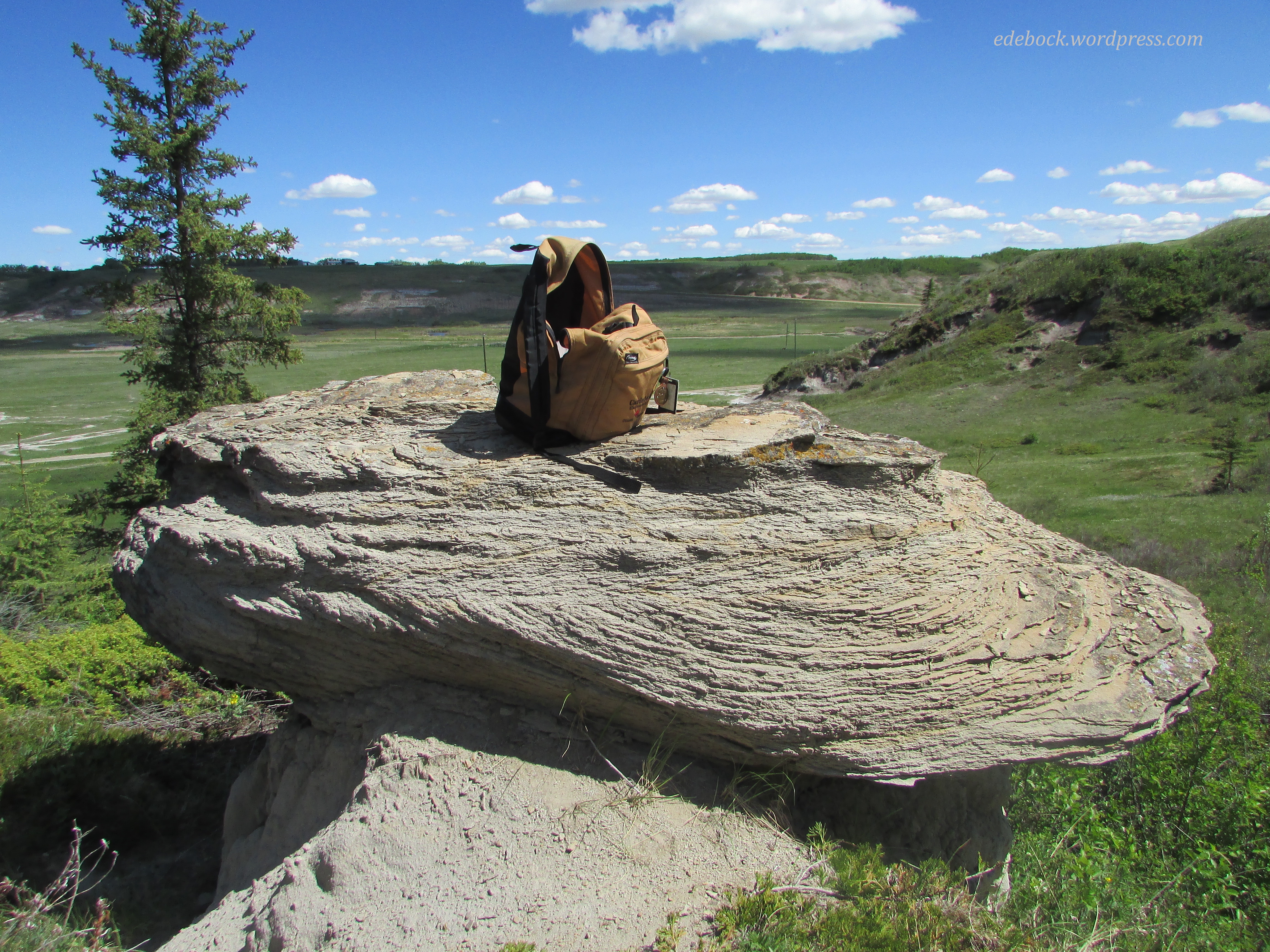
As I looked at our backpack perched on the hoodoo’s capstone, I thought of all the places it’s been with us over the years. It’s even been to the top of Mt Fuji, the highest and most famous mountain in Japan! 
IMG_4127

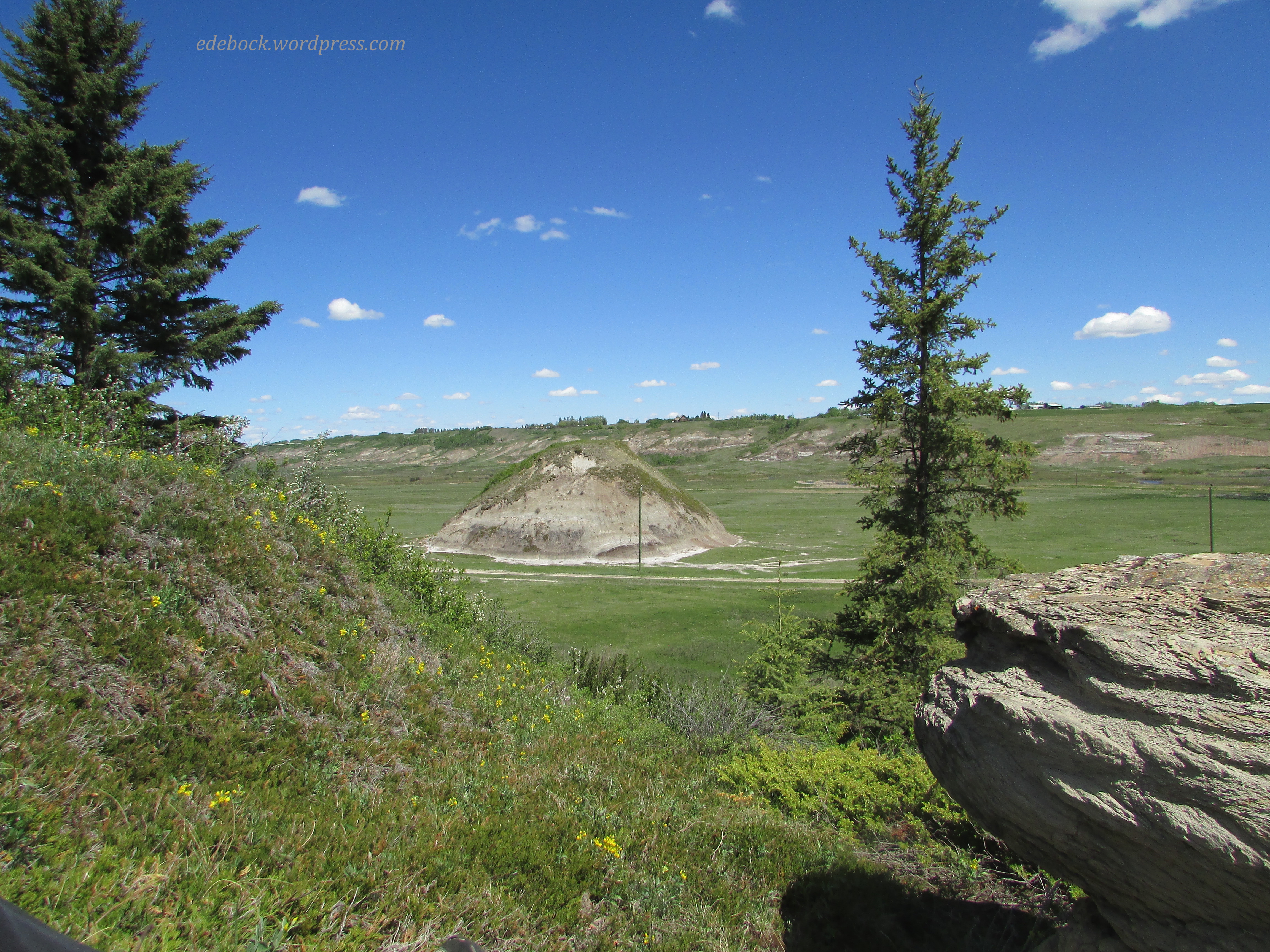
The view from our lunch spot included a perfect mound protruding from the flat valley floor. I decided that when we finished eating, we should hike down and walk around it which we did. We considered climbing it, but it would have been a challenge and since we still had to climb back up out of the valley, we quickly rejected that idea. 

IMG_4132

Eventually, after wandering for awhile longer, we made our way back up the hillside and rejoined the woodland trail that took us back to our vehicle. After a long cold winter, it’s so good to be able to get out on the trails again! I wonder where else our feet will take us this summer. 

The Great Sand Hills

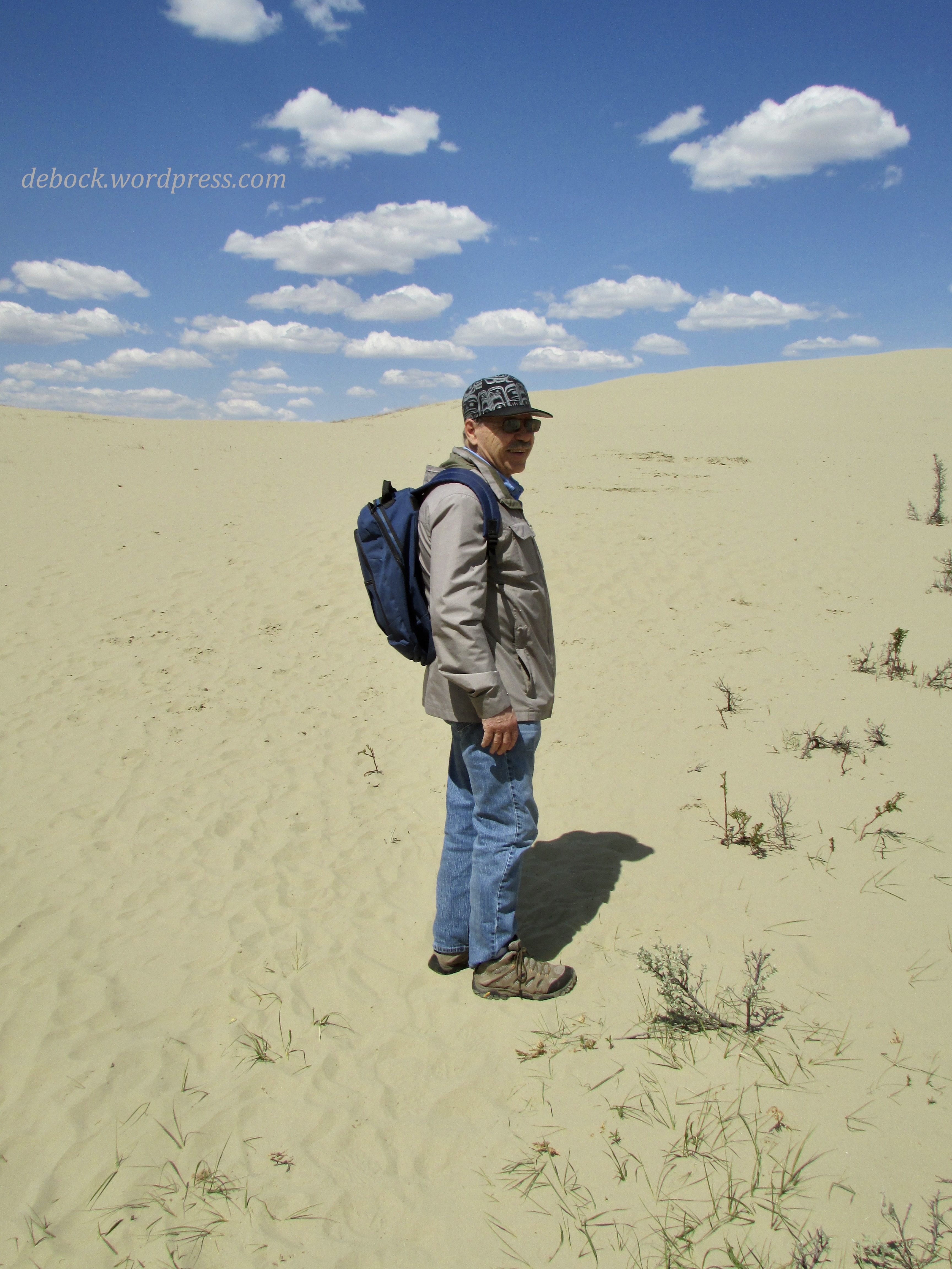
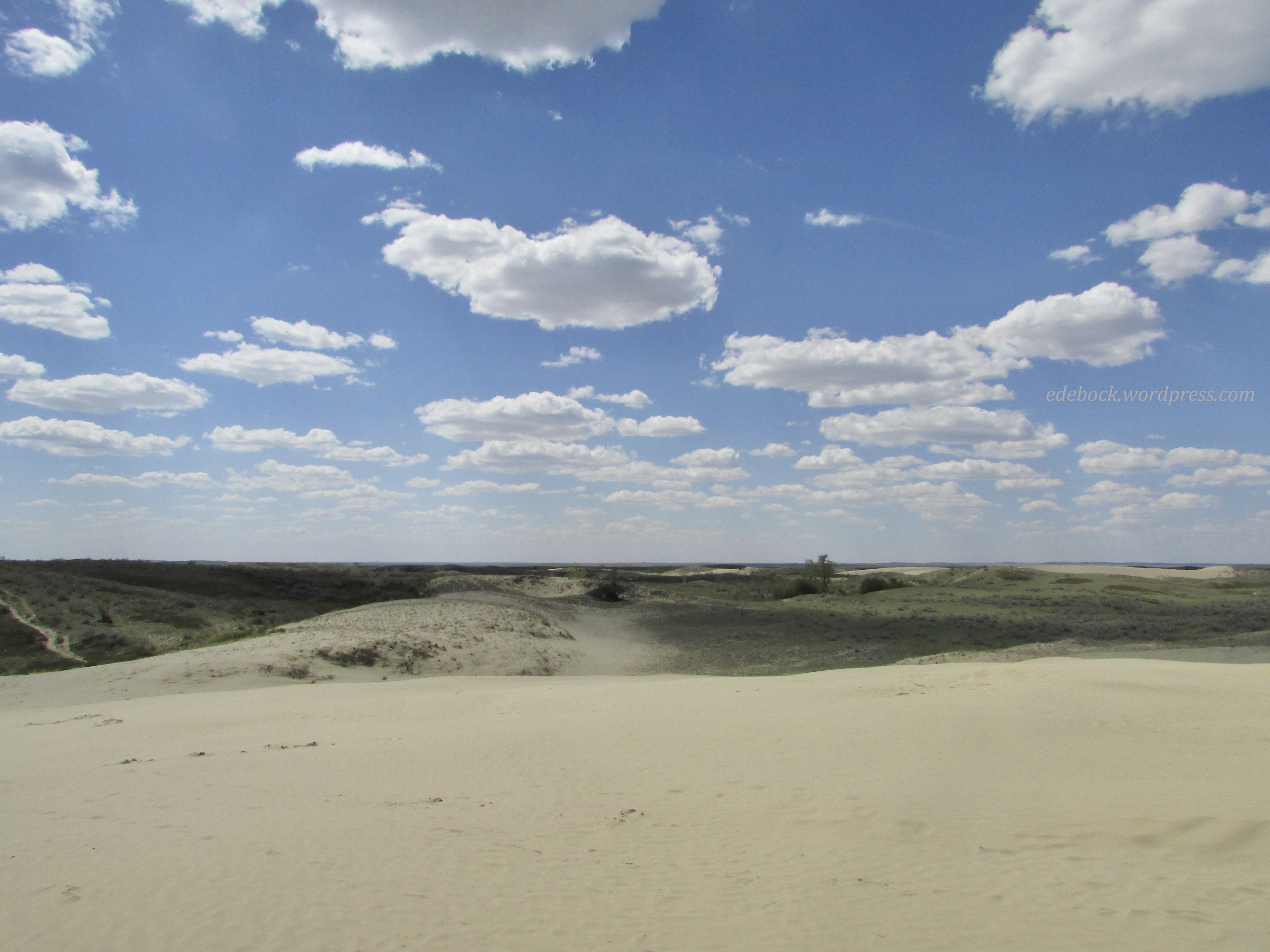
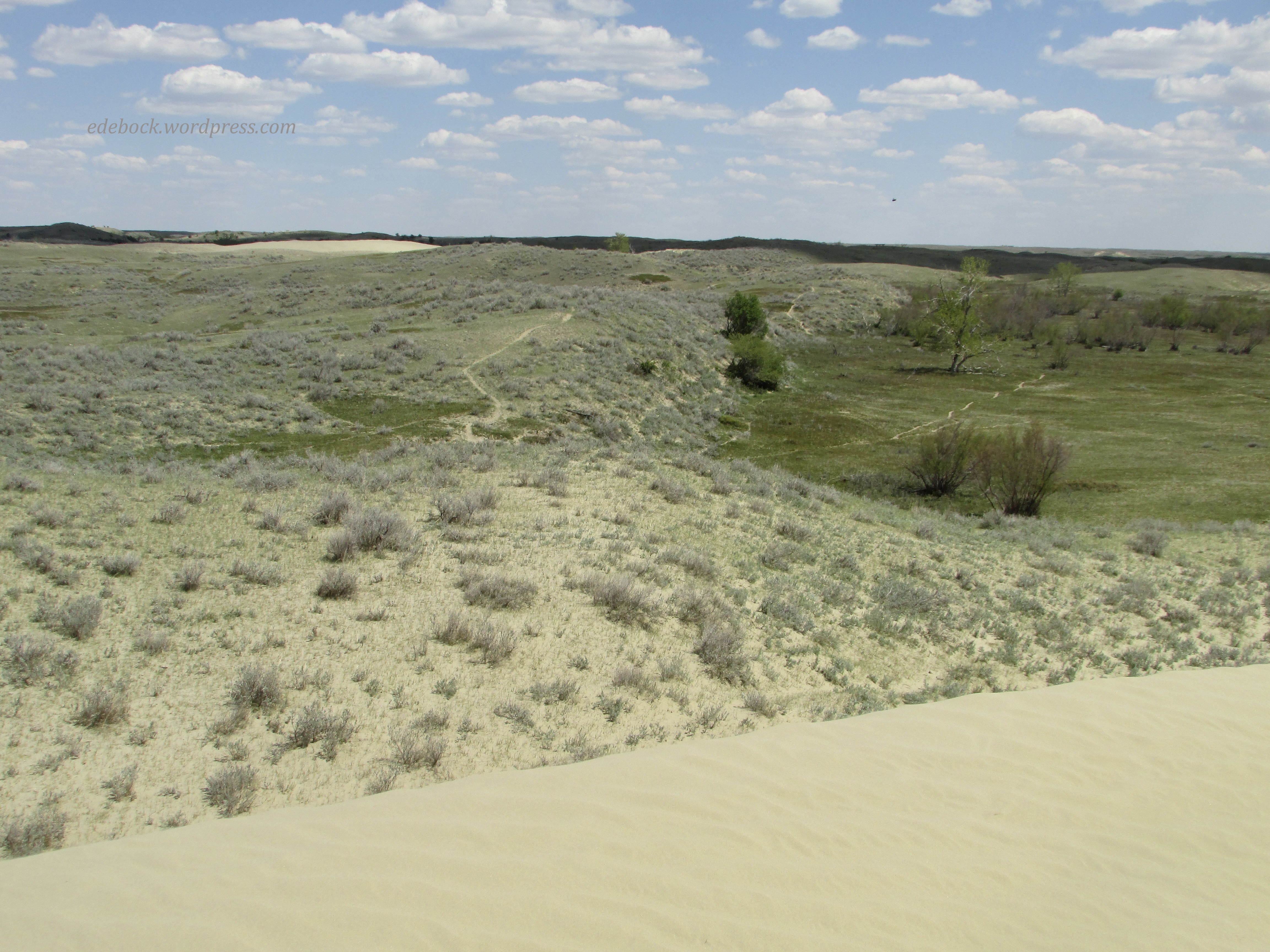
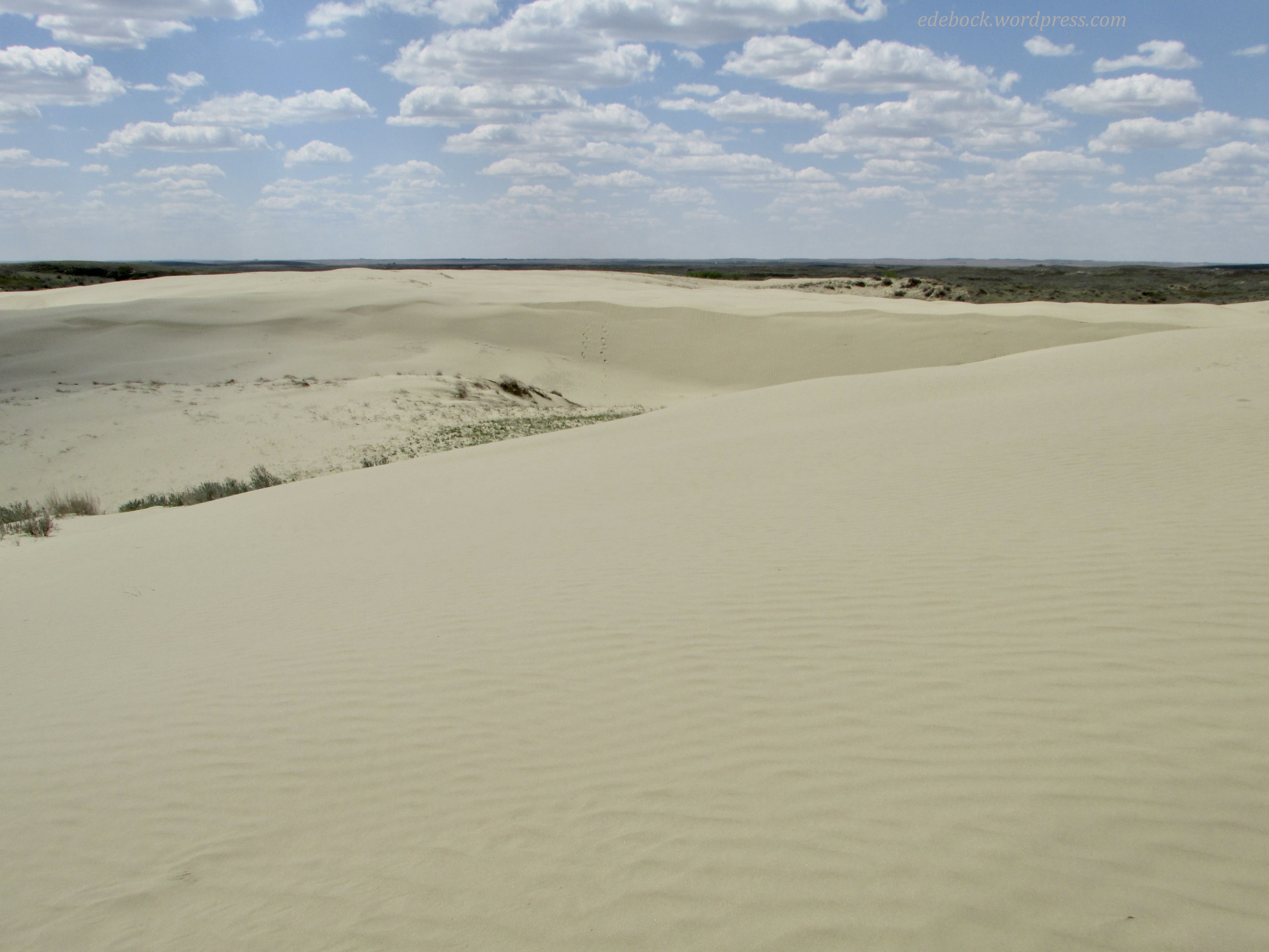
Today’s photos might lead one to believe that we traveled to Morocco or Mongolia, but we were actually exploring a very unique bit of Canada, the Great Sand Hills of southwestern Saskatchewan! 
IMG_4044

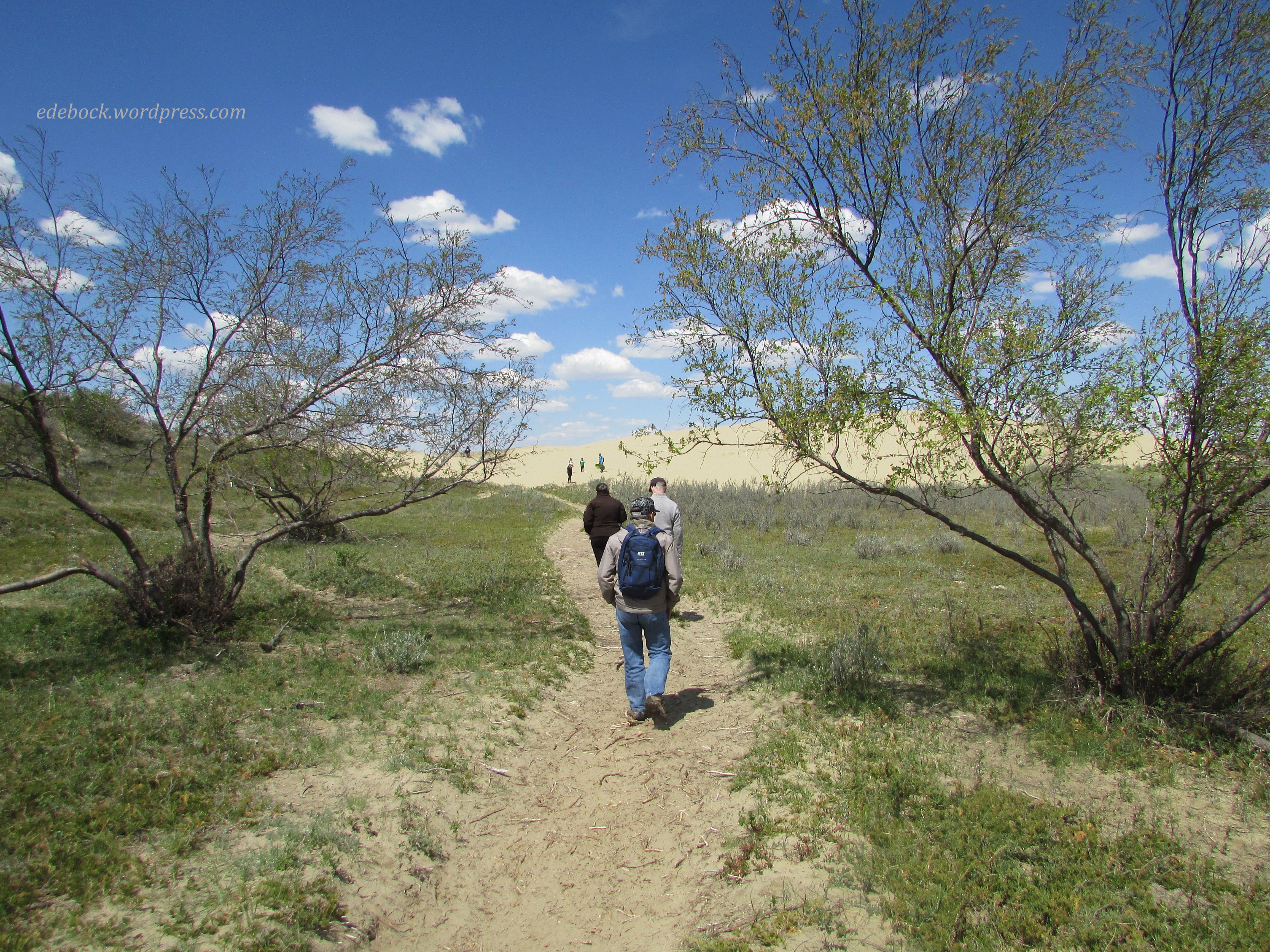
The Great Sand Hills is approximately 1,900 square kilometres (730 square miles) of desert-like sand dunes, native grasses, and small trees and shrubs. Sediment deposited by glacial meltwater during the retreat of the Laurentide Ice Sheet approximately 13,000 years ago, then shaped and reshaped by strong winds, created this unique landscape. The first of the giant sand hills is just a short walk from the parking lot. Climbing up the dune, you truly feel like you’ve entered a different world, a world of sand and sky!

IMG_4046

IMG_4047

We soon spotted a series of faint trails leading off toward more dunes in the distance, so of course we had to investigate. 

IMG_4059

IMG_4082

IMG_4071

Climbing up the steep side of the dune, we were greeted by another vast expanse of soft, powdery sand. After walking around a bit, I had to take my shoes off and feel its warmth between my toes! 

IMG_4077

IMG_4083

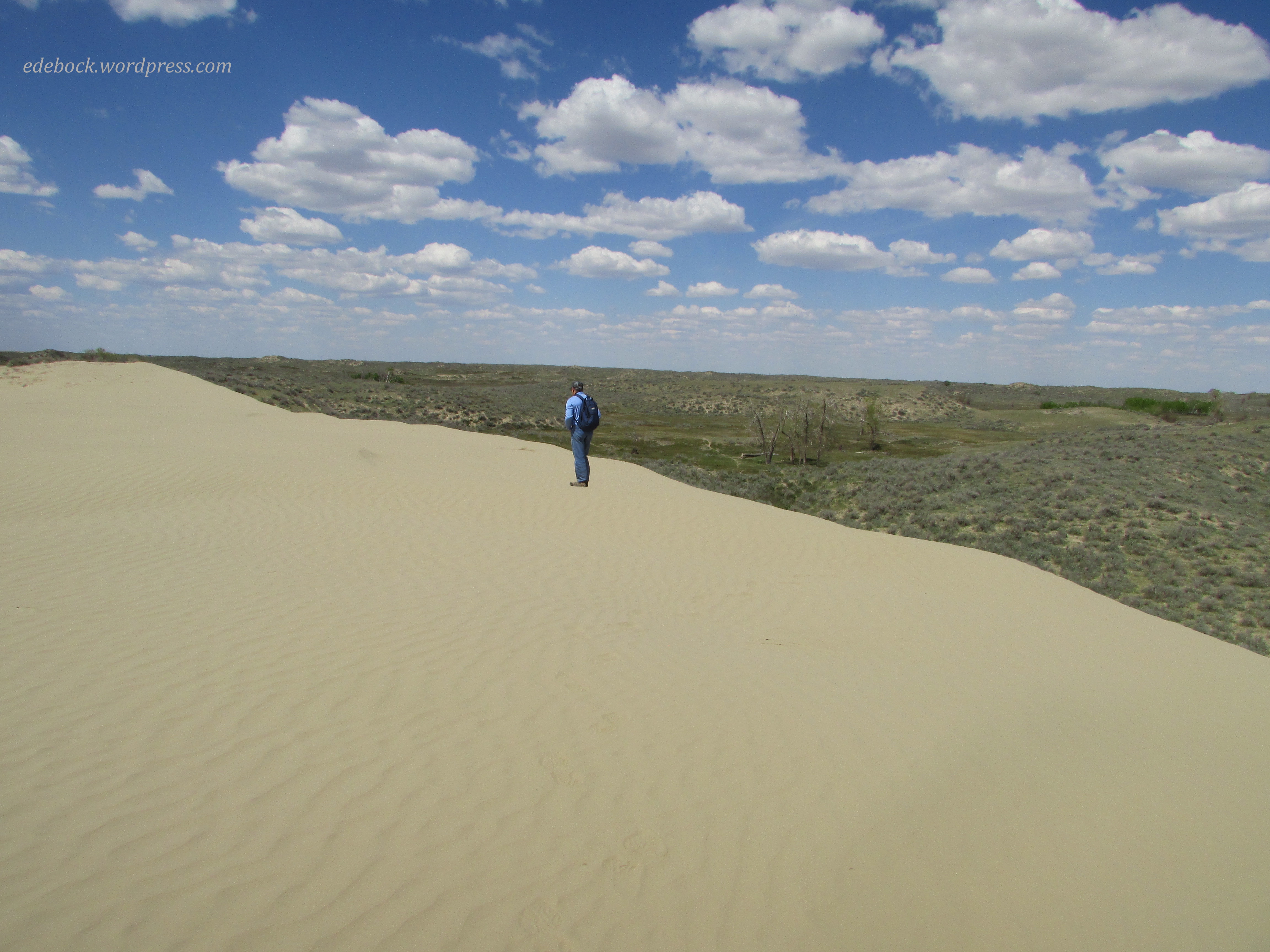
Can you spot Richard on the horizon below? 

IMG_4093

Canada has it all… mountains, prairies, forests, rugged coastlines, rivers, lakes, and even a wee bit of desert! 

First hike of the year

Here in Canada, tomorrow is a federal holiday known as Victoria Day. Initially, the holiday always fell on Queen Victoria’s birthday (May 24), but since 1952 it’s been celebrated on the Monday preceding May 25. The connection to royalty has been gradually lost over the years and now most people simply refer to it as the May long weekend. It’s the unofficial start of the summer season and the first weekend of the camping season for many. Rather than camping, since the nights are still very cold, we’re visiting my younger brother and his wife in the small village of Irvine in the southeast corner of Alberta. This afternoon, while our sister-in-law was working, the other three of us set out for our first hike of the season.

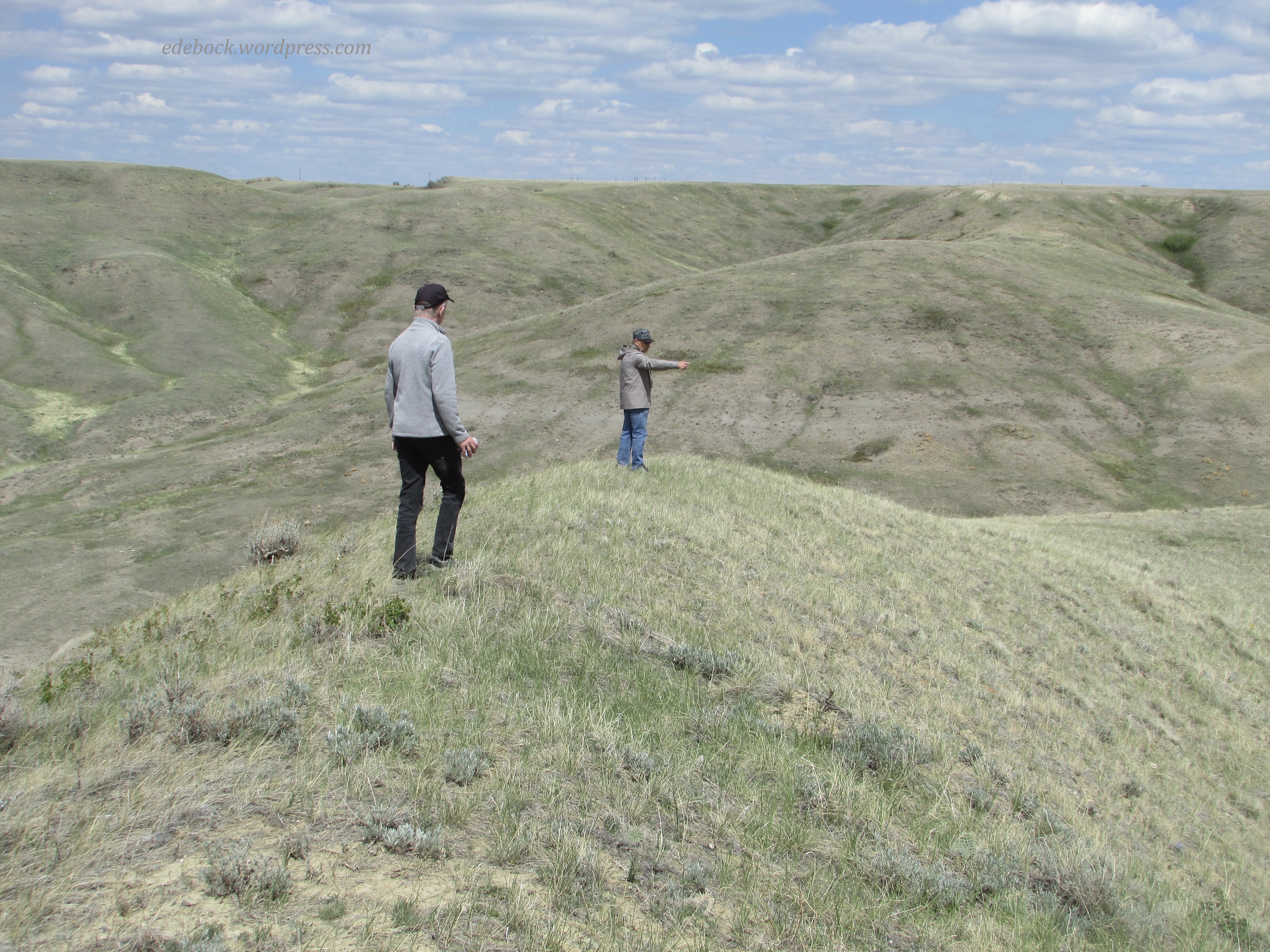
The 464-acre Chinook conservation site, a native grassland area, lies just 8 kilometres south of Irvine. Very different from the hiking that we do closer to home, there are no trails, just wide open expanses begging to be explored.

IMG_4039

Leaving the vehicle, we set off across the grassy plain toward the hills some distance away.  Of course, once we reached the top of the first bluff, we had to carry on up the next one, and then the third.

IMG_4023

Here’s the view from the top of the third hill with the second one in the foreground and the first, much lower one below it. Can you spot our vehicle in the distance? How about the little bit of cactus at the bottom of the photo?

IMG_4025

Here’s a closer look at some of the ground cover. This is snake country, but fortunately, we didn’t see any of those!

IMG_4024

After returning to the vehicle, we crossed the road and made our way across more rough grassland and through the bush to Ross Creek where we saw lots of evidence of beaver activity.

IMG_4031

In the final photo, you can see one of the peaks that we climbed way in the background.

IMG_4037

Along the way, we also saw clear signs of the deer and pronghorn antelope that inhabit the area and were reminded of the old western song, Home on the Range. “Oh, give me a home, where the buffalo roam, where the deer and the antelope play!”

If the weather cooperates, tomorrow will be another adventure.

Two rainforest hikes

I’ve been living out of a suitcase for the past two and a half weeks which hasn’t inspired a fashion post for today. Instead, I’m going to begin sharing some highlights from our trip.

Two full years had passed since our last real visit with our son and his family and my brother at Vancouver. I’m not counting the four days that we spent at the coast at the beginning of December 2019 helping my father settle into long term care and dealing with the contents of the assisted living suite that had been his home for several years or the return trip three months later when he passed away. Those trips were all about doing what needed to be done and left little time for anything else.

Though Covid still made traveling somewhat of a concern and we were extra cautious due to the clinical vulnerability of some of the family members that we’d be visiting, we felt that we couldn’t wait any longer. Grandchildren change so much in two years! 

One of the things that we had hoped to do while we were at the coast was hike. In spite of several days of heavy rain (6 inches in one 48 hour period!) we managed to enjoy two wonderful hikes in the coastal rainforest; so different from our prairie hikes close to home. 

Cypress Falls, West Vancouver

We celebrated Canadian Thanksgiving on Monday, October 11. While our daughter-in-law was preparing a delicious turkey dinner, hubby and I joined our son and his youngest for a hike to Cypress Falls in West Vancouver. 

IMG_3110

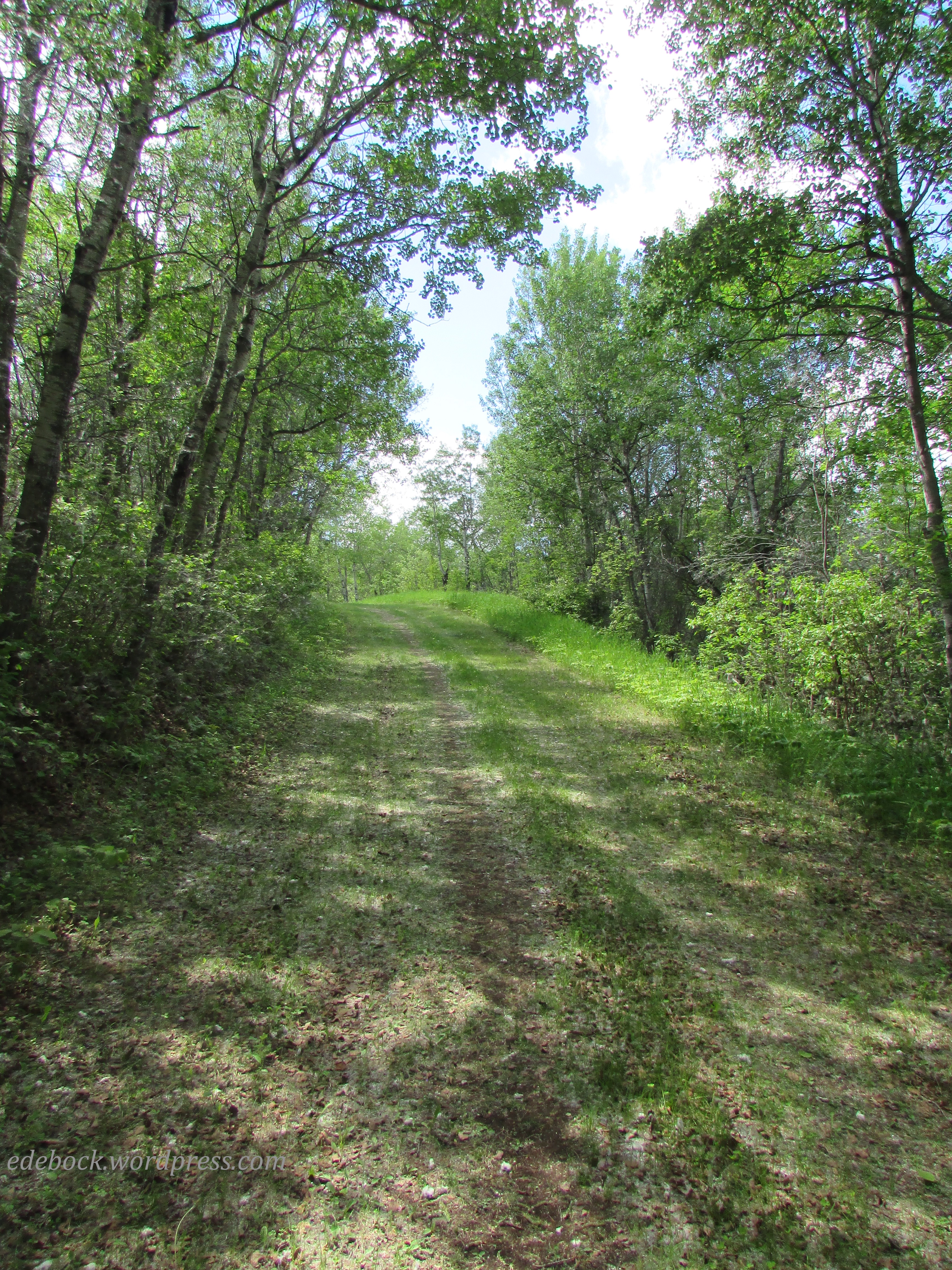
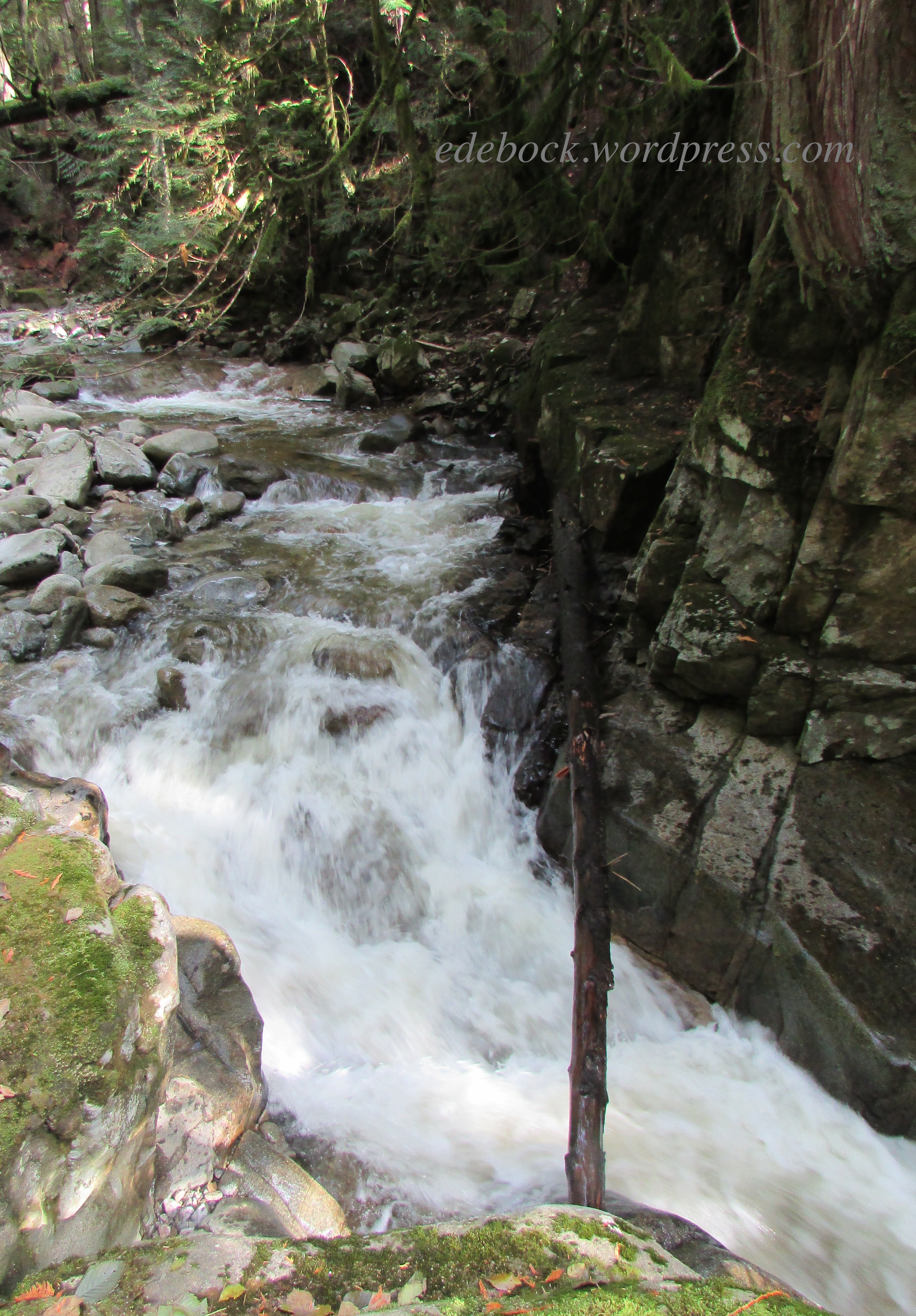
Just a short distance from the highway, Cypress Hills Park is easy to access. Though we were never far from civilization, this was definitely a wilderness park. The first part of the 2.7 km out and back trail was easy, as shown in the photo above, but it became somewhat steeper and more rugged further on.

IMG_3125

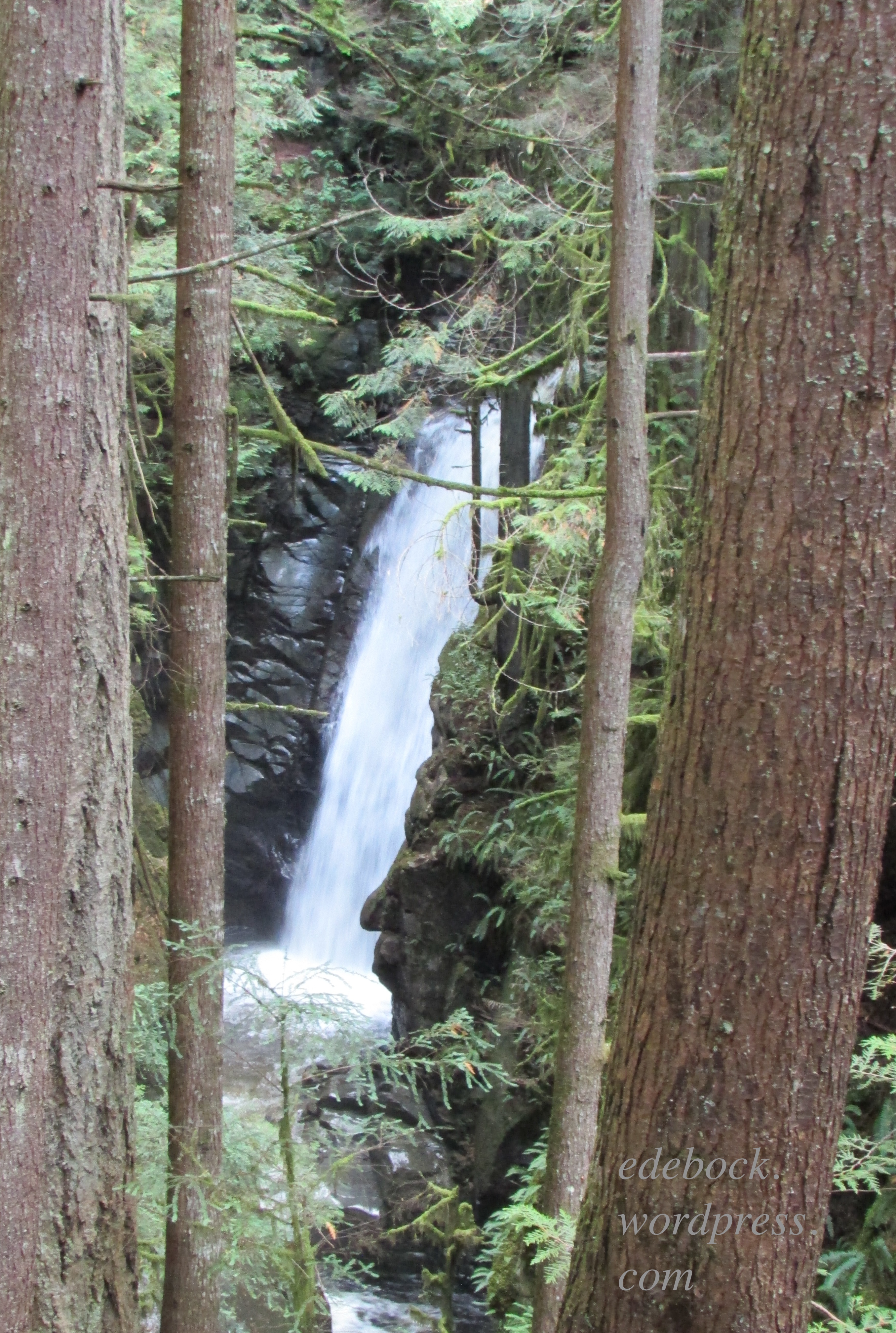
Mist from the water thundering over the lower falls hung in the trees above and provided a perfect environment for lush ferns and mosses. 

IMG_3128

IMG_3135

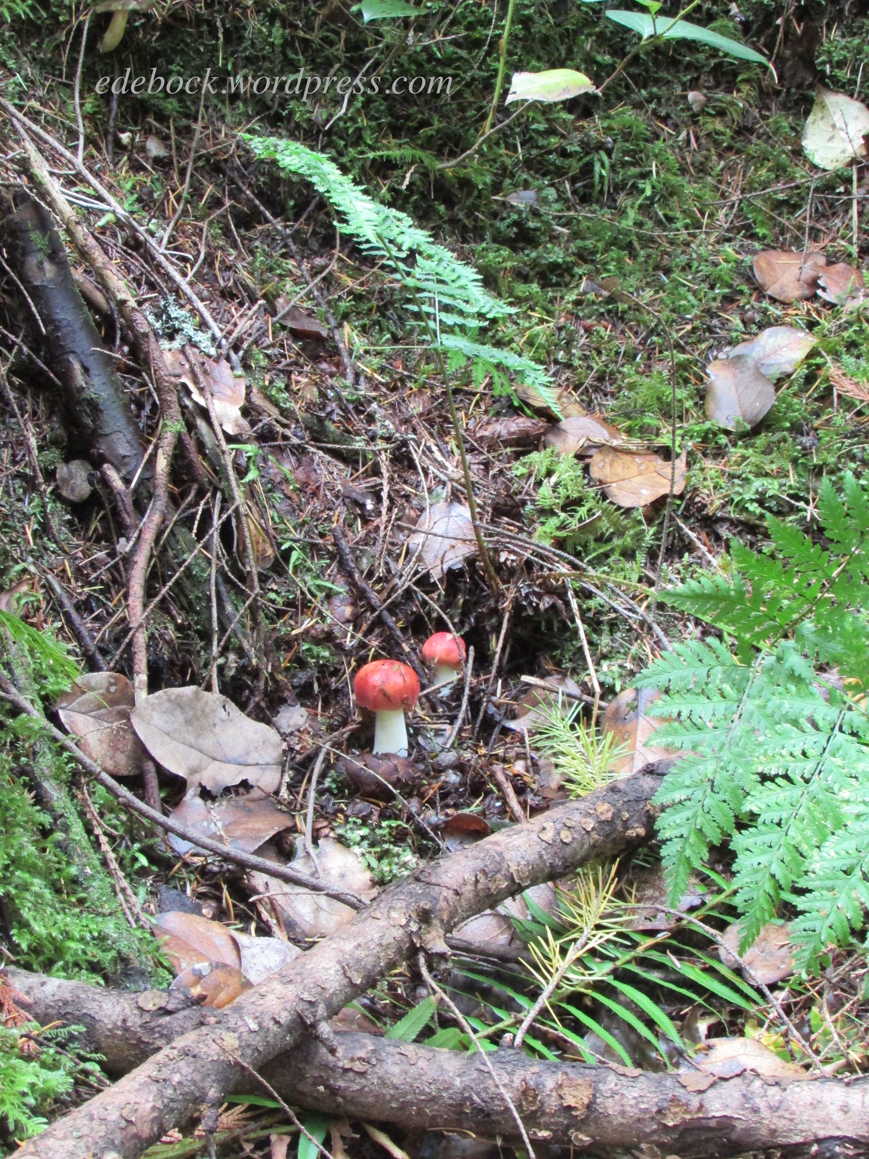
Many varieties of mushrooms grew on the forest floor. I particularly liked these little splashes of colour. 

IMG_3121

Continuing on through stands of old growth Red Cedar and Douglas Fir, we reached the impressive upper falls at the end of the trail.

IMG_3141

Lynn Canyon, North Vancouver

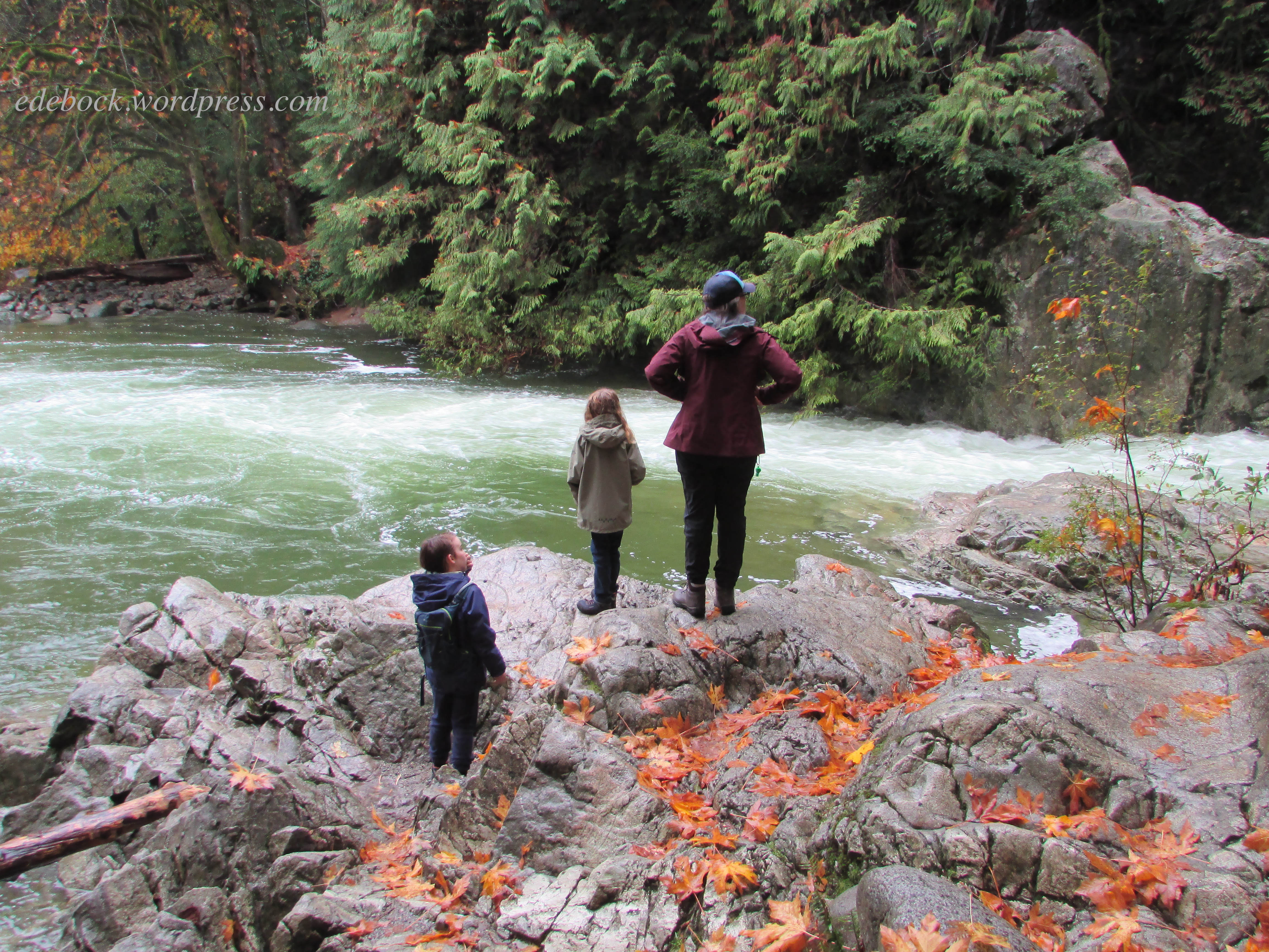
The following Sunday, after days of rain, the weather cleared enough for us to enjoy a second hike, this time with the entire family.  Lynn Canyon Park, which is home to several beautiful trails, is located within walking distance of our son’s house as well as my teenage home. We hiked from the north entrance of the park, across Pipe Bridge and down to the very popular 30-Foot pool. Leaves from the park’s many maple trees formed a wet, but beautiful carpet.

IMG_3215

IMG_3208 2

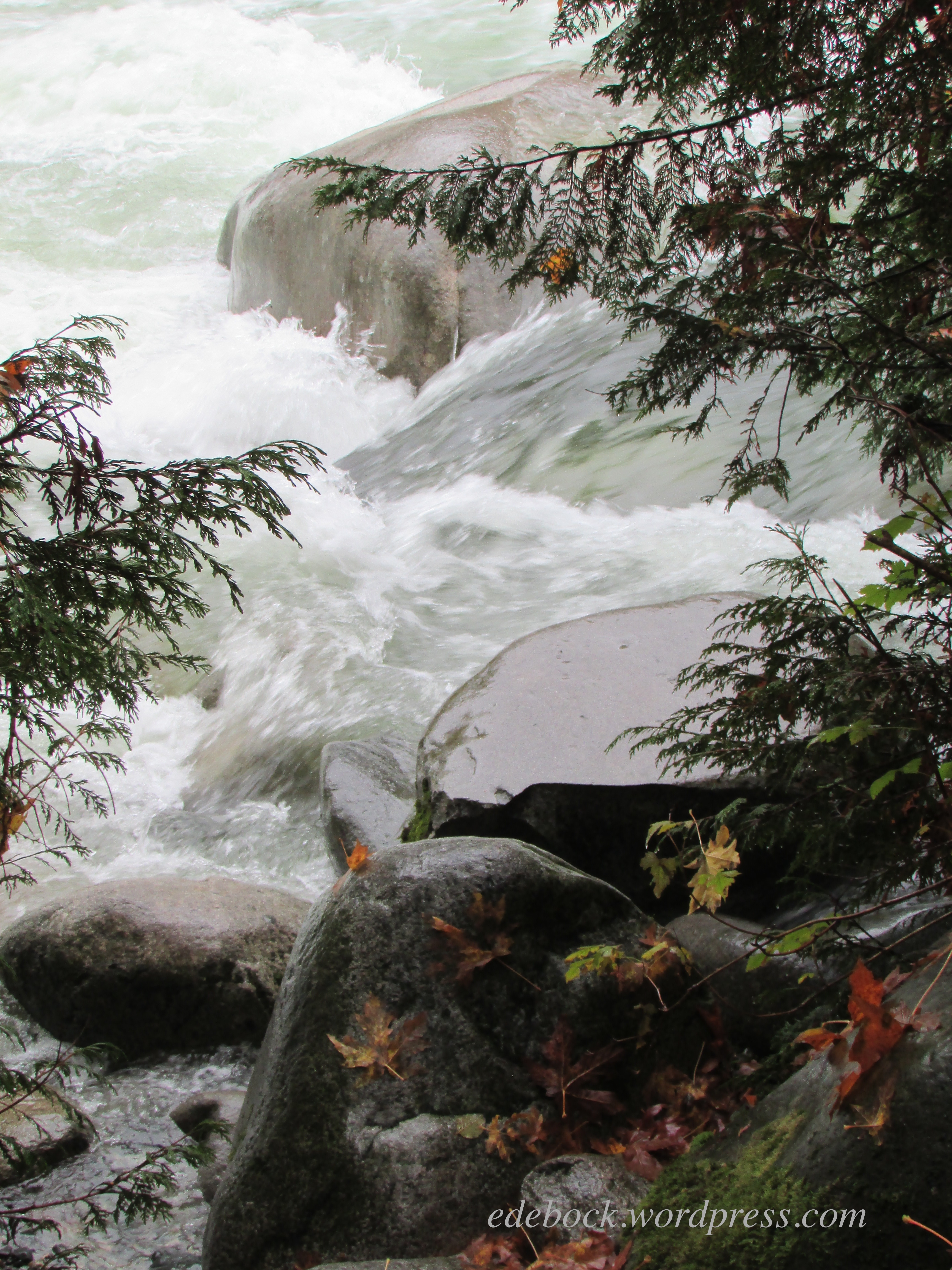
Never have we seen the creek and the pool so full!

IMG_3206

IMG_3213 2

IMG_3222 2

Toward the end of our hike, we crossed the 40 metre (130 foot) long suspension bridge that hangs 50 metres (160 feet) above the canyon. For much of my life, an extreme fear of heights kept me from crossing the bridge and enjoying the trails on the far side of the creek. Several years ago, however, I conquered that fear and this time I was able to stop and take photos from the middle of the bridge! 

IMG_3227 2

These are just two of the many beautiful places to hike on Vancouver’s beautiful north shore. In my next post I’ll share another one of our adventures, but this time in the heart of the city. 

300+ km!

Yesterday morning, on a quiet walk beside Grebe Pond in Miquelon Lake Provincial Park, I crossed an invisible finish line! If you’ve been reading my blog over the summer months, you know that on the second of May I challenged myself to walk and/or hike 300 km by our 45th wedding anniversary on October 2. With just 10 days to go, I accomplished that goal!

On Monday morning, we headed off on one last camping trip before cleaning out the trailer and preparing it for winter. We knew that the nights would be cold (in fact, it was 4°C or 39°F when we got up this morning) but with an extra quilt and a furnace, we were toasty warm. The days were crisp, but great for hiking and over the three days that we were there, we hiked over 19 km (almost 12 miles). 

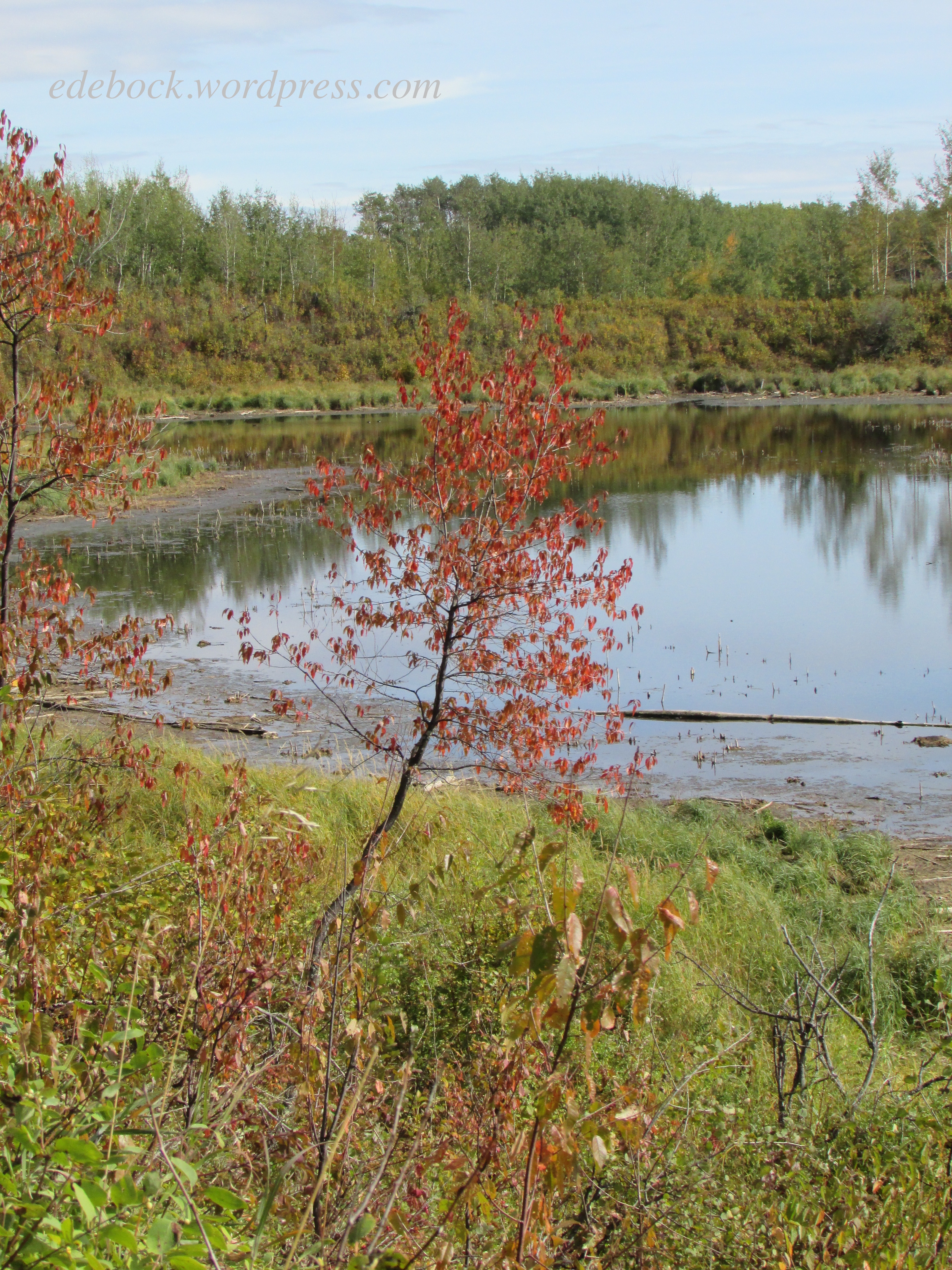
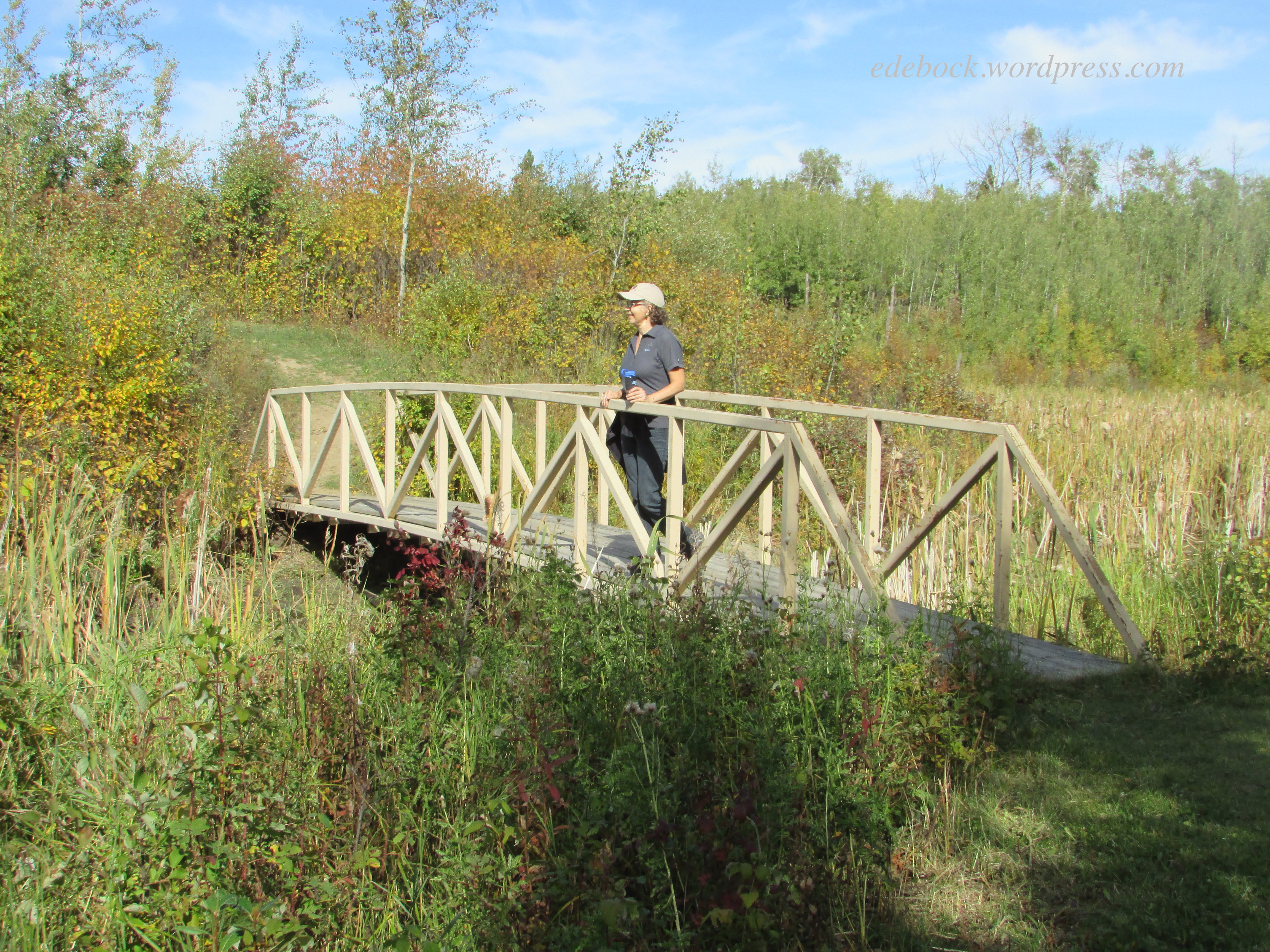
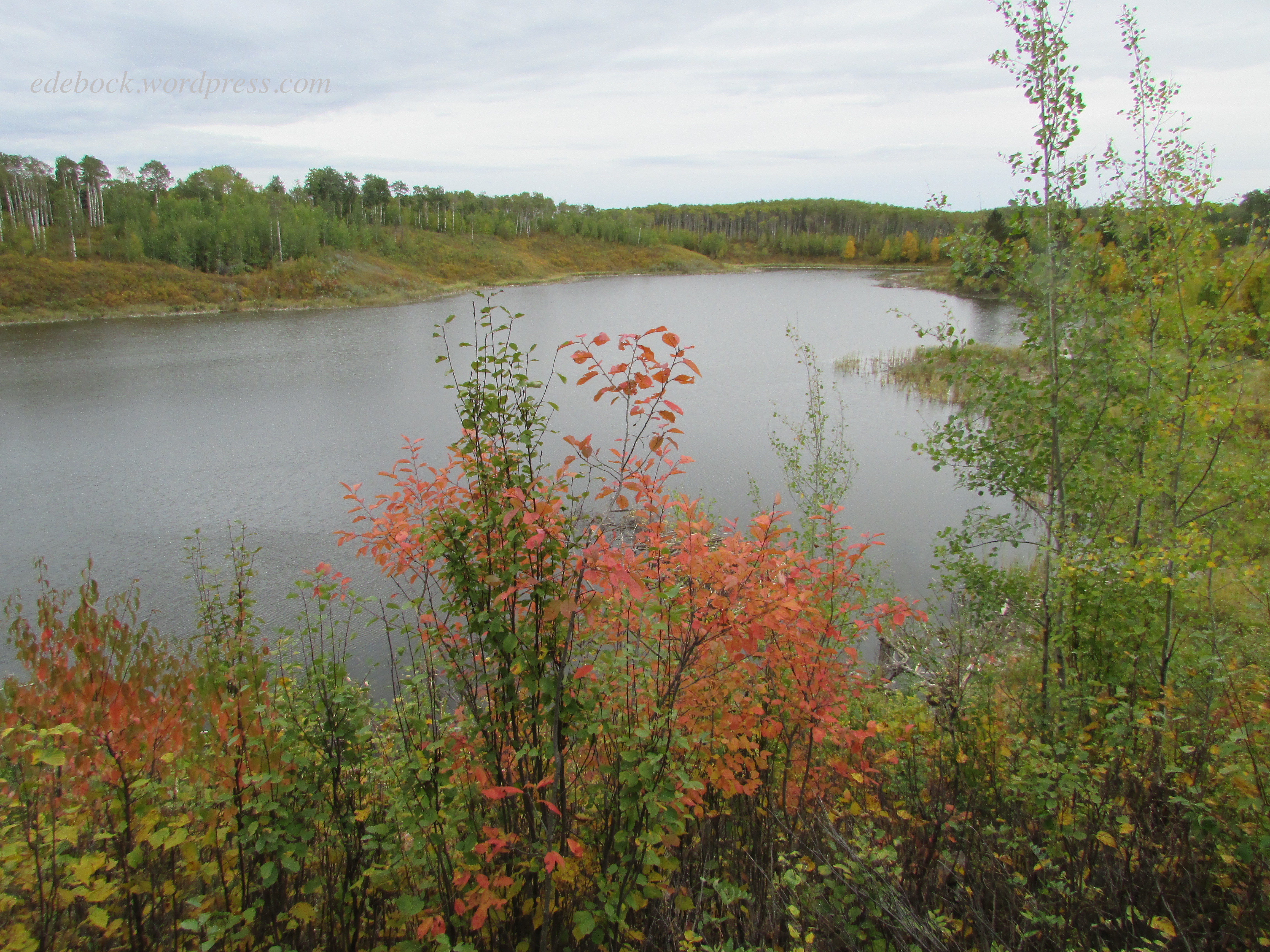
In addition to Miquelon Lake itself, the park is dotted with small bodies of water, home to many kinds of waterfowl. The “knob and kettle” terrain consists of hummocky mounds (the knobs) and water-filled depressions (the kettles). Hiking trails wind up and down, around and between the ponds and at this time of year, colourful foliage adds to park’s natural beauty. 

So, let me share a bit of that beauty with you…

IMG_3011

IMG_3015

Tuesday’s hike was the longest; 9.2 km on the park’s backcountry trails. We packed a lunch and set off about 10:30 in the morning when the air had had a chance to warm up a bit. This was the view from our lunch spot… 

IMG_3025

IMG_3027

Just me enjoying another view…

IMG_3028

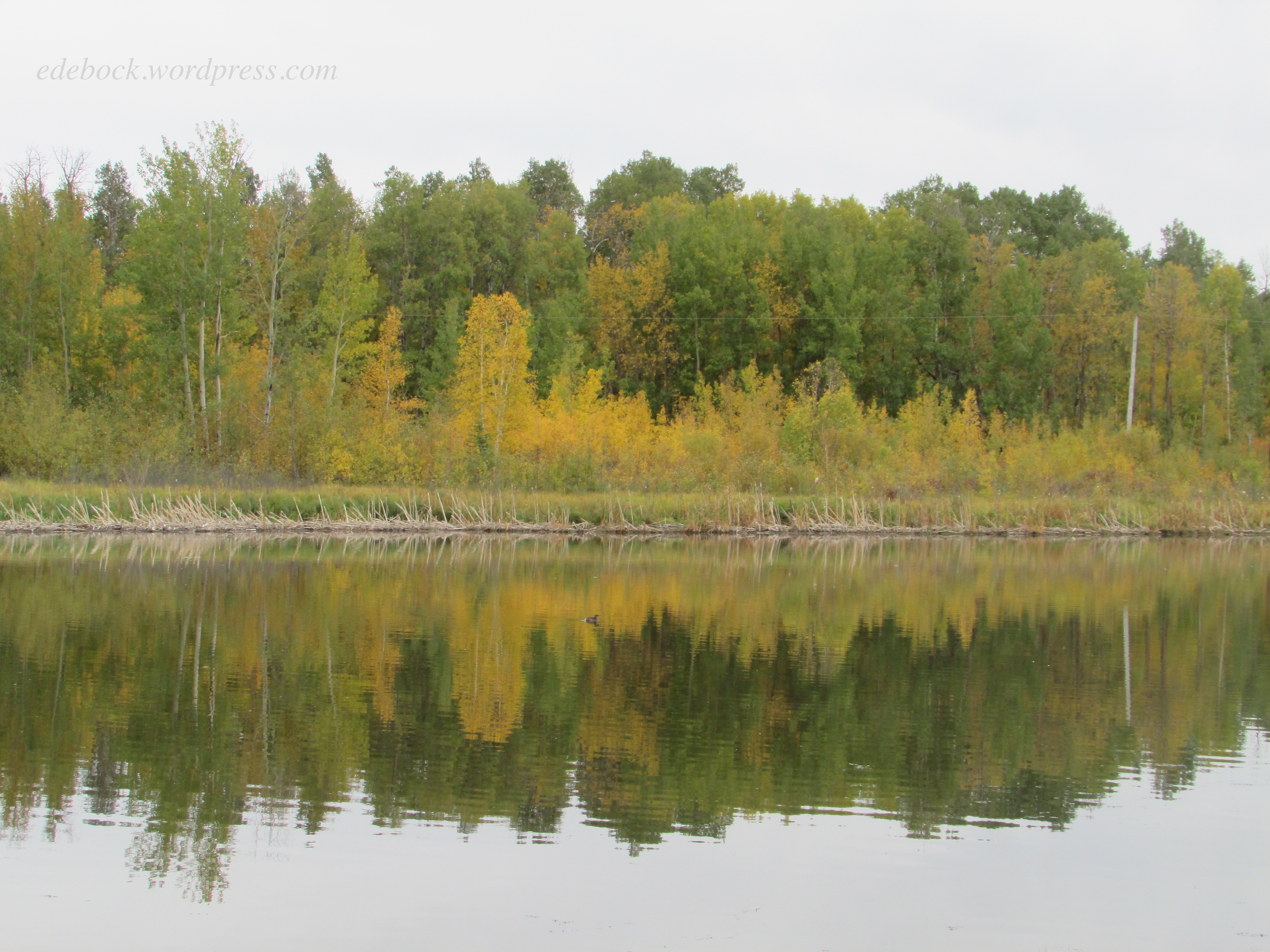
The next photo was taken close to my self-imposed 300 km finish line. I’ve always loved reflections on water. 

IMG_3044

And finally, a couple of shots from the end of Moose Trail, our last hike…

IMG_3045

IMG_3046

Still walking, but not enough!

It’s been two months since I last posted an update on my summer walking challenge. On May 2 of this year, I challenged myself to walk and/or hike 300 km by our 45th wedding anniversary on October 2. Five months to walk 300 km. Easy peasy! Right?

I got off to a really good start reporting 87.07 km by June 2 and another 63.59 km in the month that followed. Two months into the challenge, I was already half way to my goal. In my third month, I walked another 68.83 km for a total of 219.49 km.

That’s when I slipped off the rails and I’m sad to say that in the past month I walked and/or hiked only 38.41 km! What happened? Well, I could make plenty of excuses. There was time spent with grandchildren. We did go hiking while they were with us, but other than that, I didn’t take time away from them to go for regular walks. We’ve had some rainy days. I do own an umbrella, but it’s easier to stay indoors on those days. And then there’s the fact that I hurt my back again. That one was a pretty good excuse for a few days, but even though it’s still not 100%, I could be going for short walks. In fact, they might even be good for me.

Most of all though, I’ve just been lazy! When it became obvious that I’d be able to reach my goal well ahead of schedule, I slacked off. Now it’s time to get off my butt, lace up those walking shoes, and finish the job! With only 42.1 km left to go and a full month until our anniversary, there’s plenty of time to get this done!

At Gram and Grandpa’s house

After more than a year of Covid restrictions, spending time with family was our highest priority for this summer. We’ve been blessed with seven beautiful grandchildren (and one more on the way), so it was a delight to be able to spend the past two weeks enjoying five of them. First, our daughter and her three children spent a weekend with us at Camp Harmattan and then the kids came home with us. The day after they left, we went to Edmonton for a medical appointment and stayed a couple of days with our youngest son’s family. We spent an entire day at Fort Edmonton Park with his two children, and then brought them home for a visit with us.

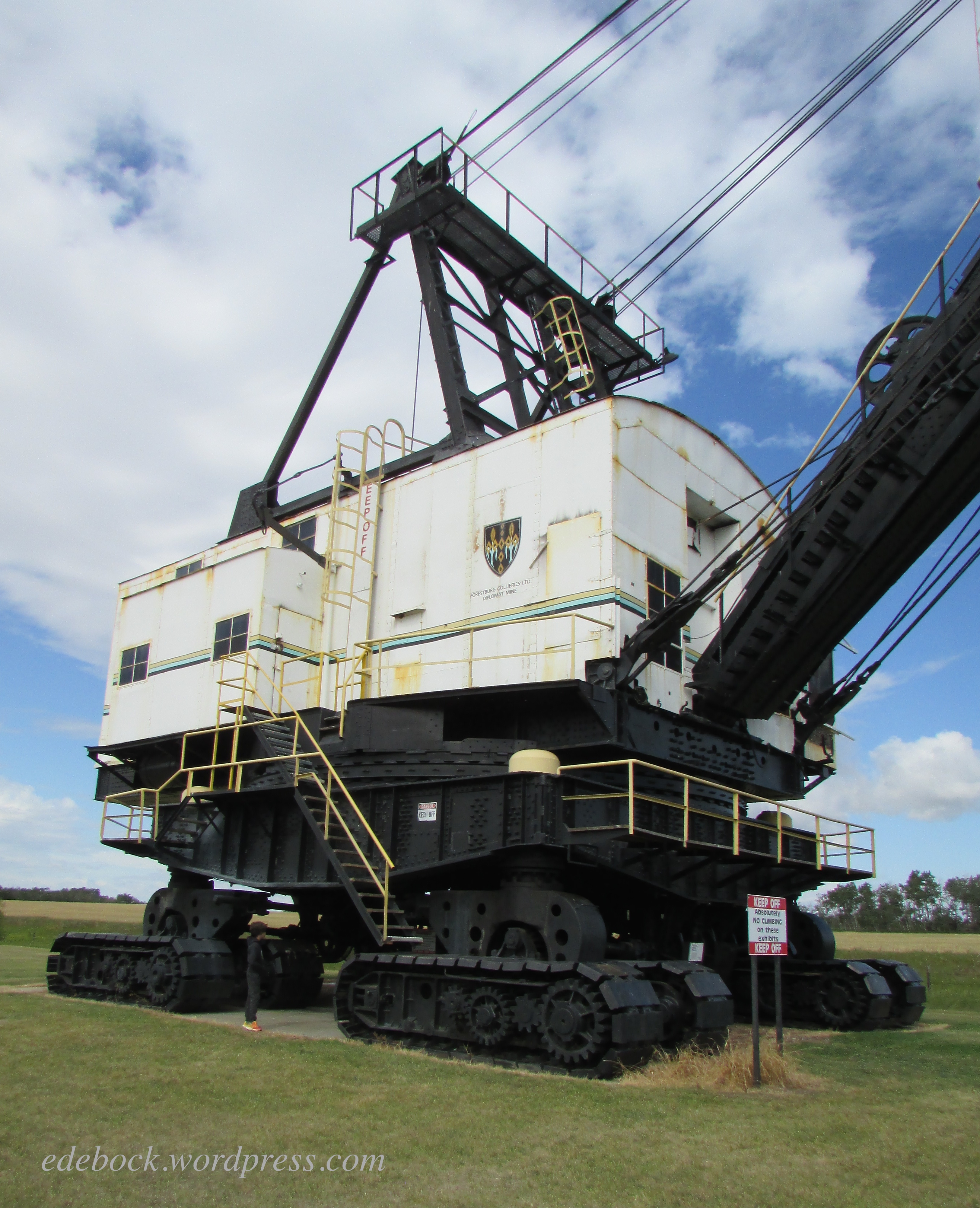
Our days with the grandkids were filled with afternoons at the beach, fun times on the golf course (driving the golf cart is a highlight), wiener roasts in the backyard, picking raspberries and eating them with ice cream, playing games, and reading stories. We also took both sets of grandchildren to one of our favourite hiking spots, Big Knife Provincial Park. On the way, we stopped at the Diplomat Mine Interpretive Site.

Some enjoyed checking out the enormous machinery…

IMG_2913

Can you find our oldest grandson in the photo?

while others had fun on the smaller equipment!

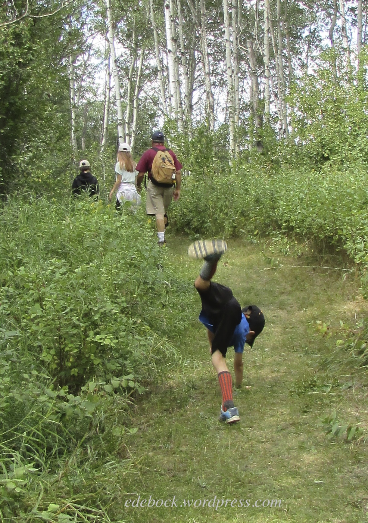
On both occasions, we enjoyed a picnic lunch before hitting the trail. While most of us hiked, this one did cartwheels!

IMG_2926 - Version 2

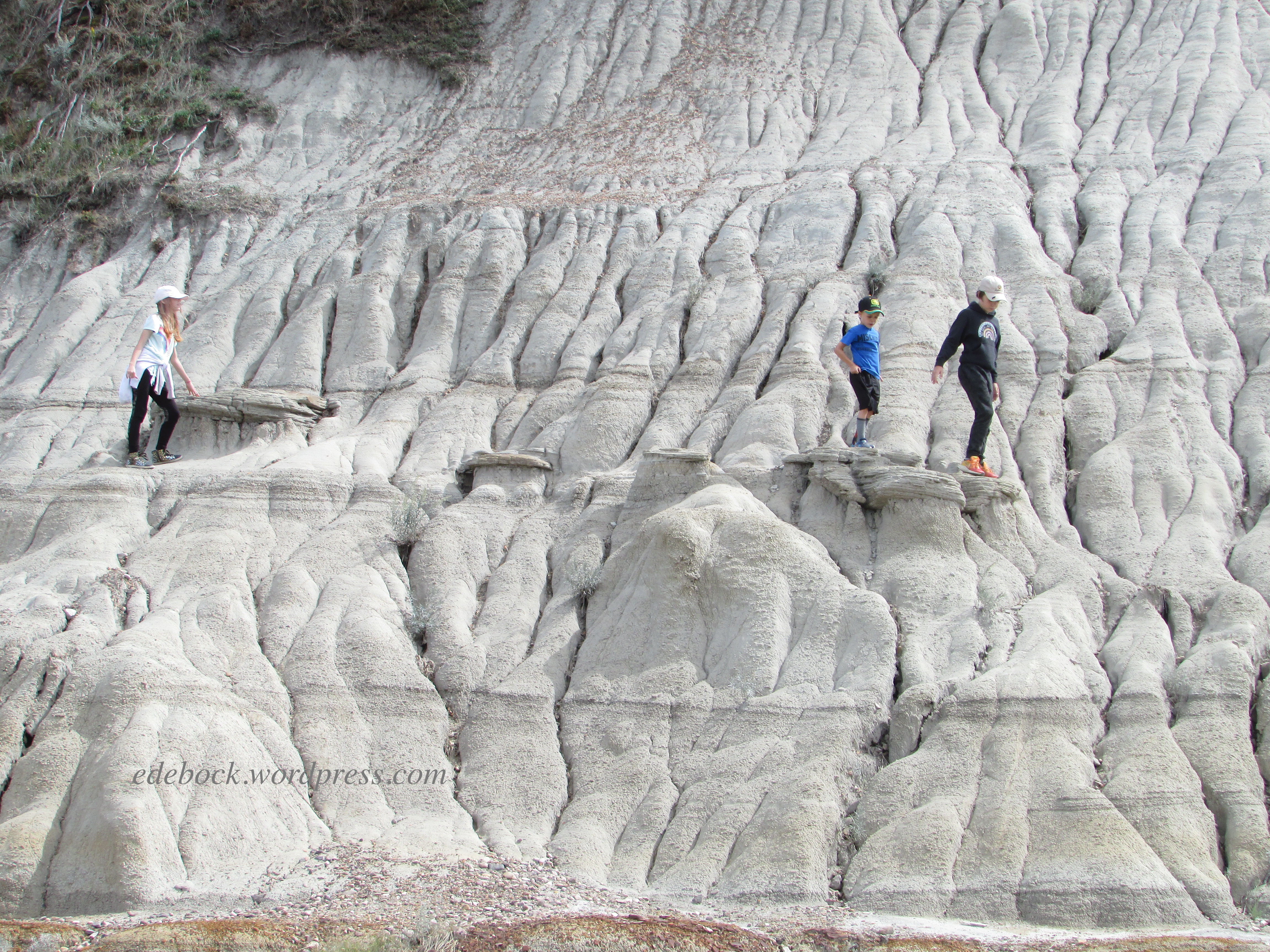
The best part of the hike for all five children was climbing around the hoodoo area.

IMG_2932

Now they’ve all gone home. The laundry is done and the beds remade. Gram and Grandpa are getting back into routine, but the house is very quiet and I’m missing the other two more than ever. We haven’t seen them since before Covid and with case numbers increasing in their province and ours, I don’t know when we’ll be able to. 😦