A Scenic Journey on the White Pass & Yukon Route

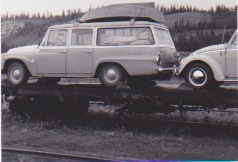
I first rode the narrow gauge White Pass & Yukon Route railway on a family holiday in the summer of 1967. I was 14 at the time. In those days, there was no road between Whitehorse in the Yukon and Skagway in southeast Alaska. We drove to Haines, Alaska, took a ferry to Skagway, and then, with our vehicle loaded on a flat car, rode the train to Whitehorse.


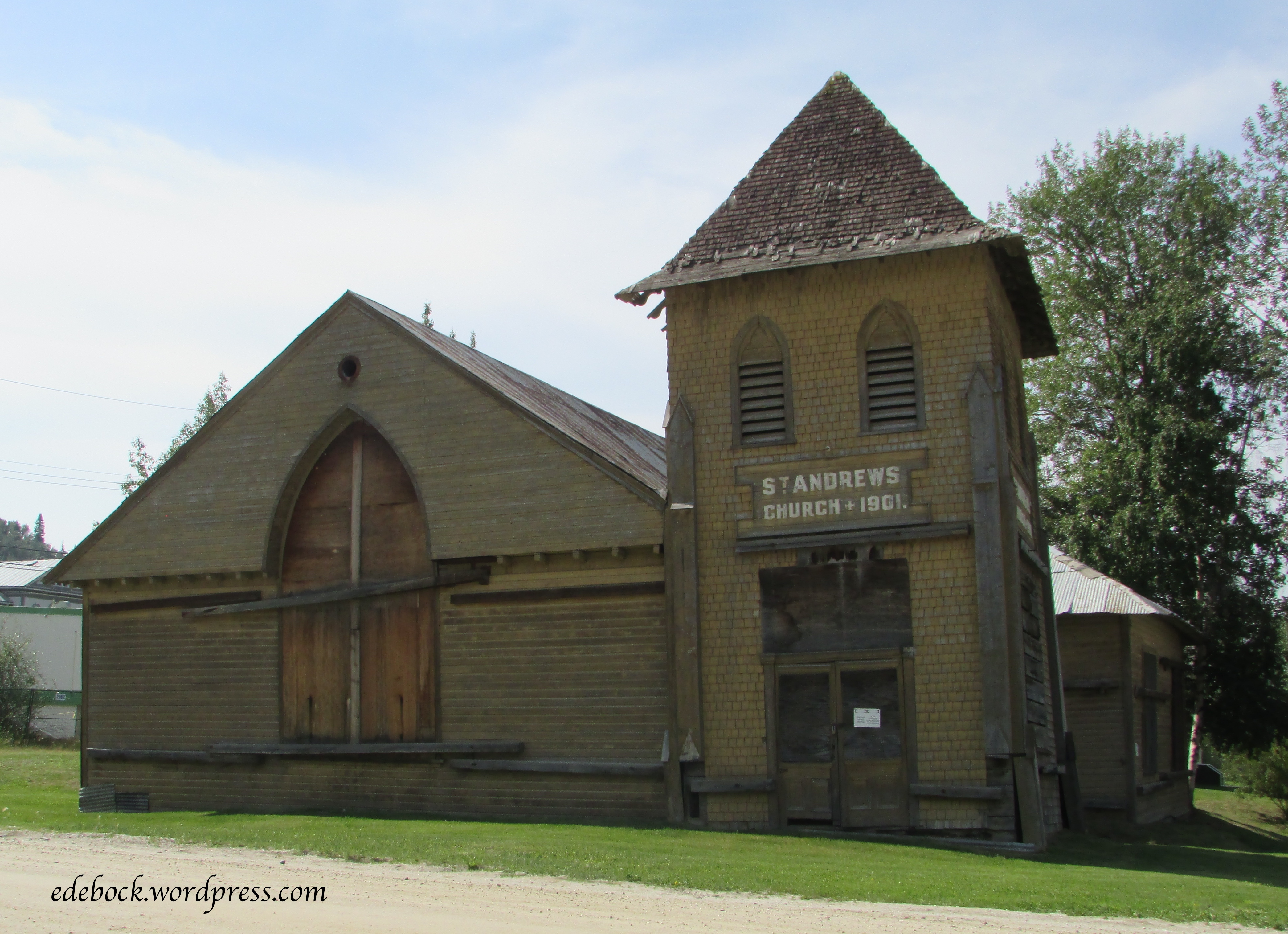
The White Pass & Yukon Route has a fascinating history. When gold was found in the Yukon in 1897, the news spread like wildfire and tens of thousands of fortune seekers steamed up the Inside Passage waterway to Skagway and Dyea to begin the treacherous overland trek to the Klondike. Each person was required to carry a ton of supplies. Some chose the shorter, but steeper Chilkoot Trail that started at Dyea while others chose the longer, less steep White Pass Trail from Skagway. Both led to the interior lake country where the stampeders could begin a 550 mile (885 km) journey through the lake systems to the Yukon River and the gold fields. 

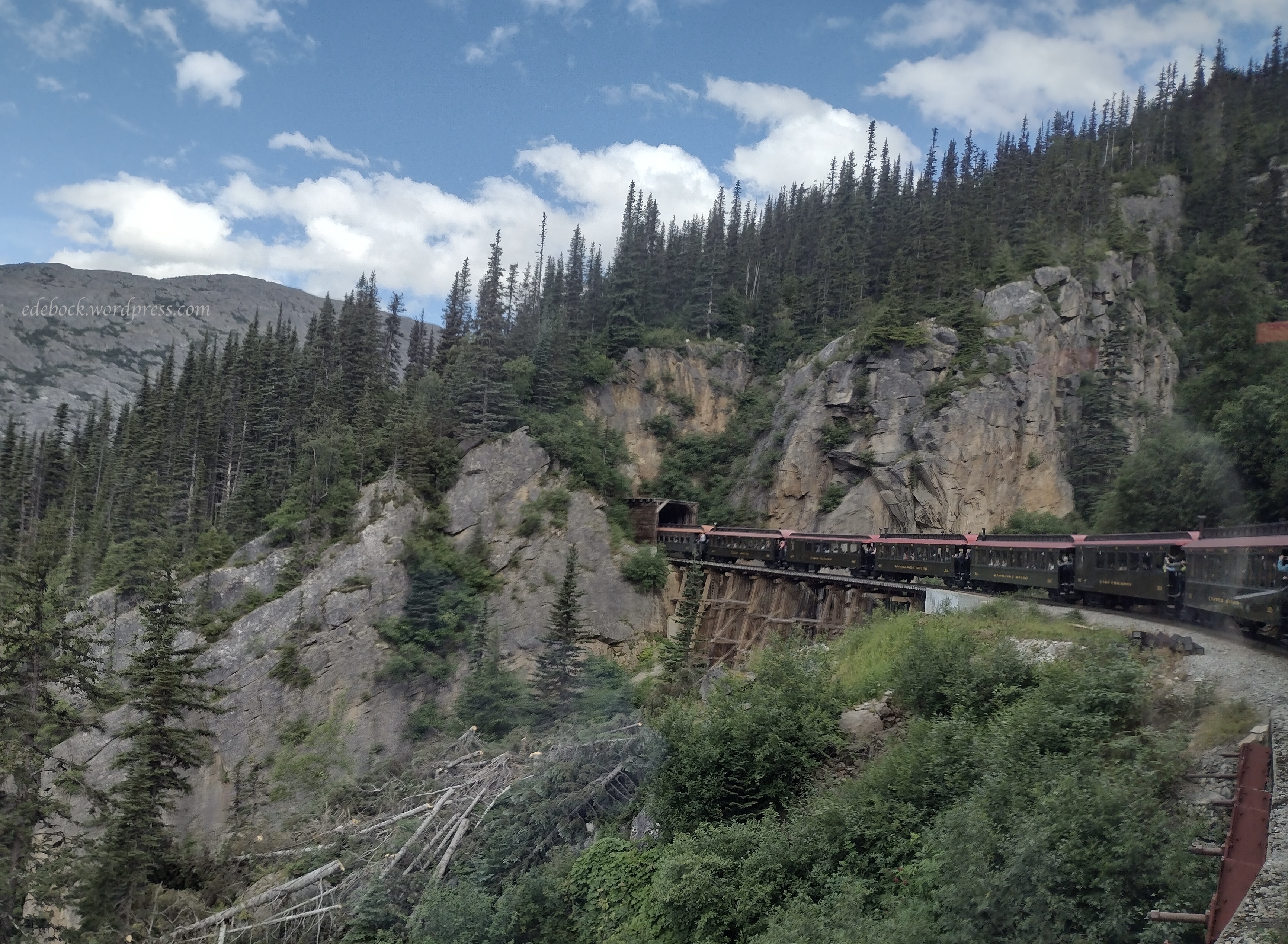
On May 28, 1898 construction began on a railway over the coastal mountains from Skagway to Whitehorse. Thirty-five thousand men worked on the $10 million dollar project.  In just 20 miles, the track climbs from sea level at Skagway to almost 3000 feet (914 metres) at the summit! It features steep grades of almost 3.9%. Tight cliff-hanging curves required a narrow gauge railroad with tracks just 3 feet apart as well as the construction of two tunnels and numerous bridges and trestles. Against all odds, working through the dead of a northern winter, the 110 mile (177 km) project was completed in just 14 months. 

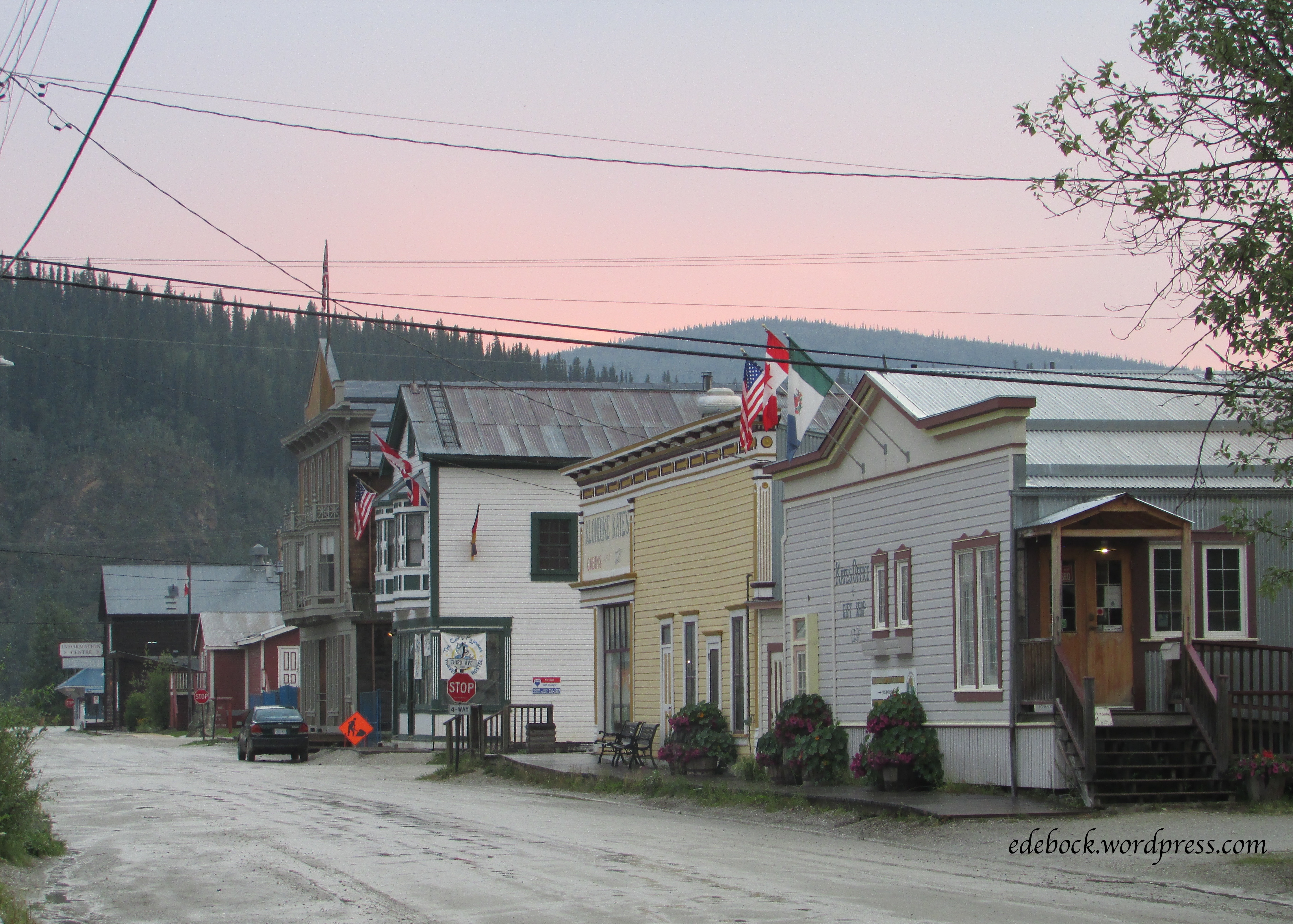
For decades following the gold rush, the White Pass & Yukon Route carried significant amounts of ore and concentrates to tidewater to be loaded onto ships, but with the opening of the Klondike Highway from Whitehorse to Skagway in 1978 followed by plummeting world metal prices, the railroad suspended operations in 1982. Six years later, it reinvented itself as a tourist attraction. 

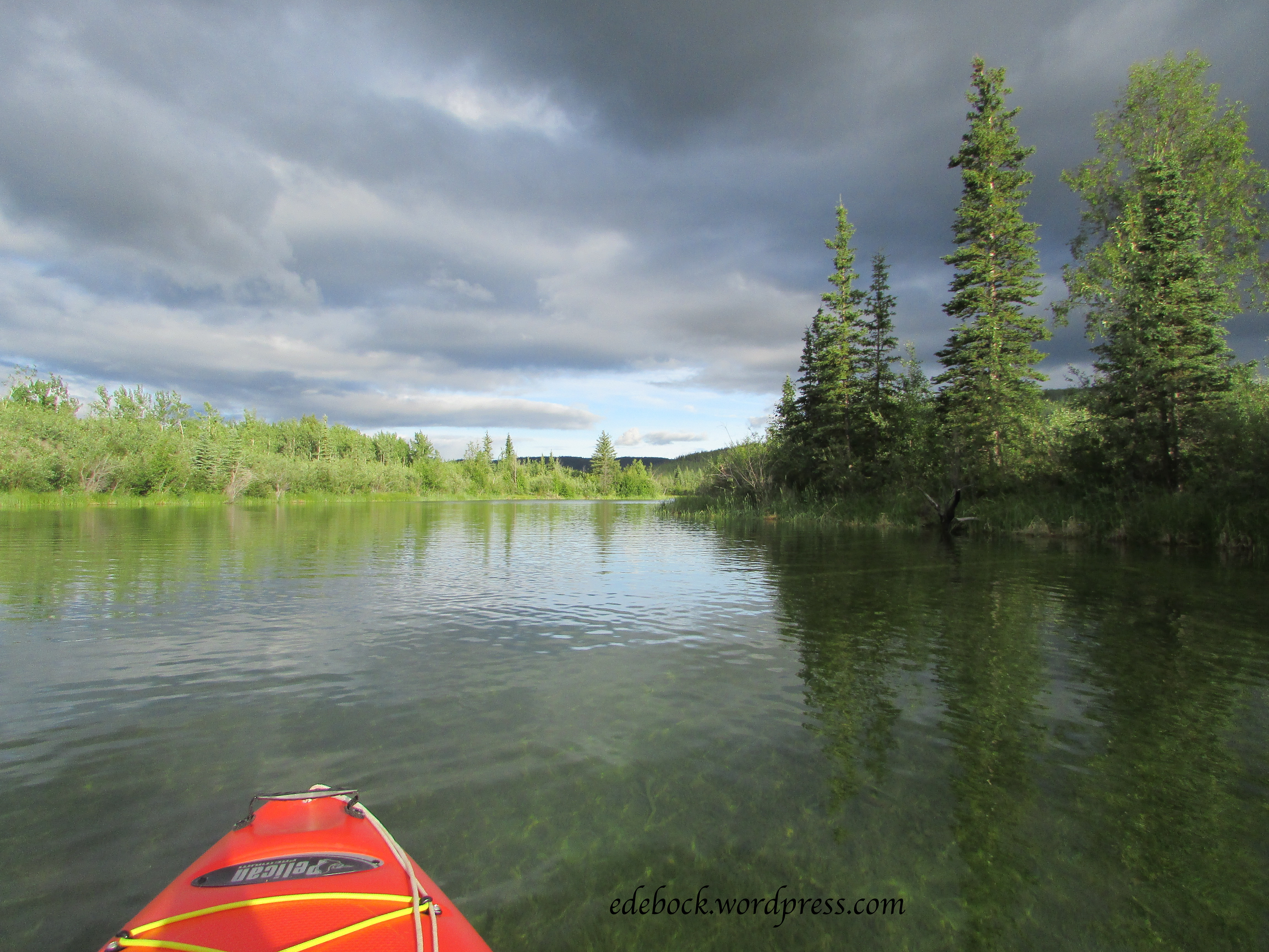
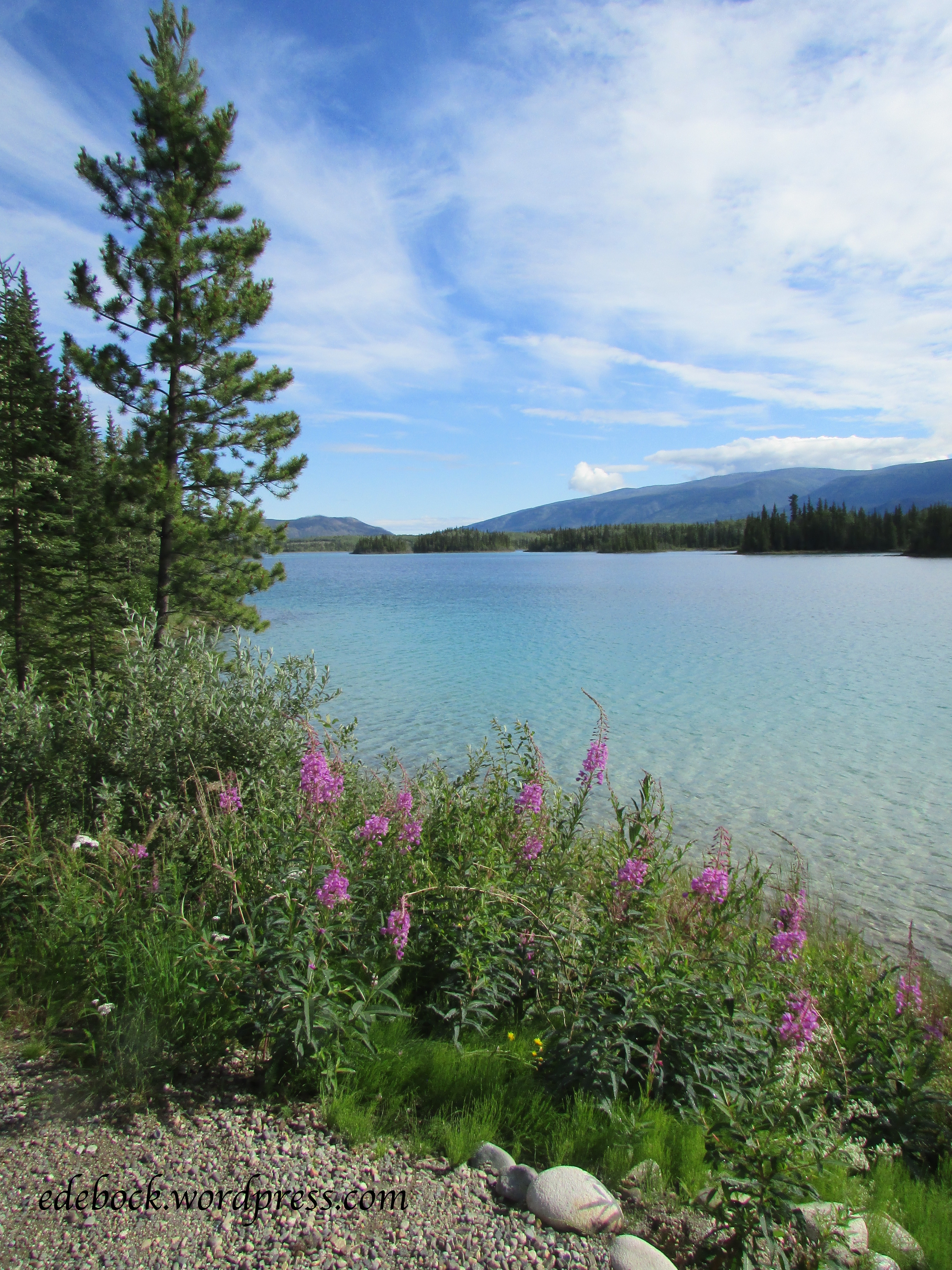
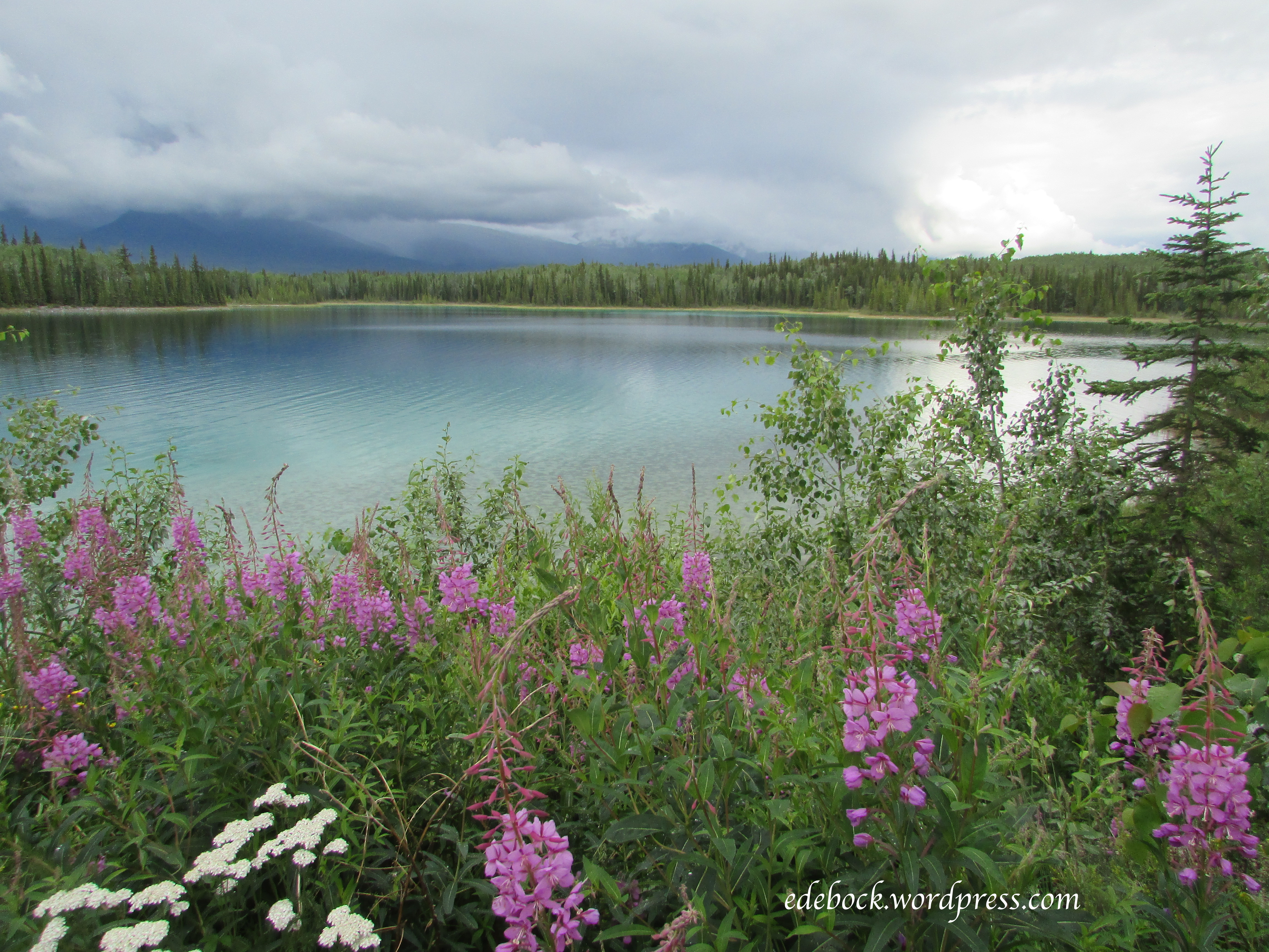
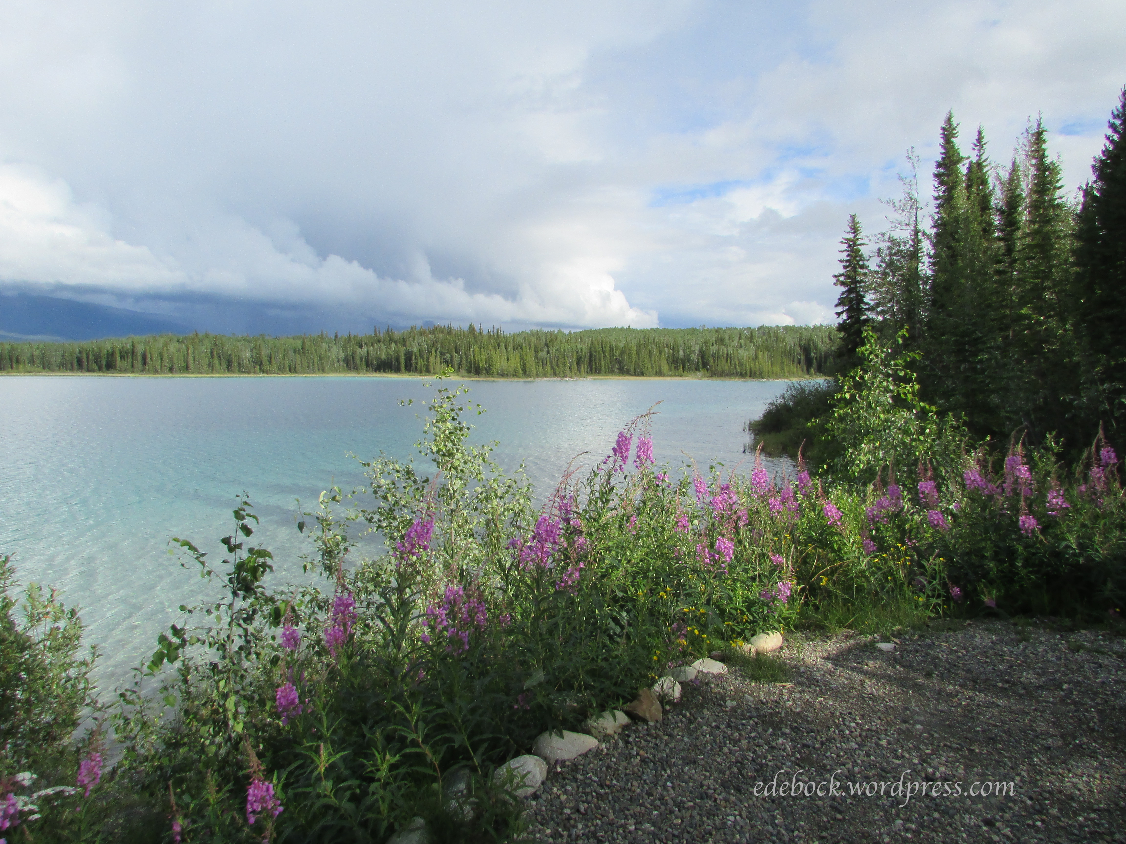
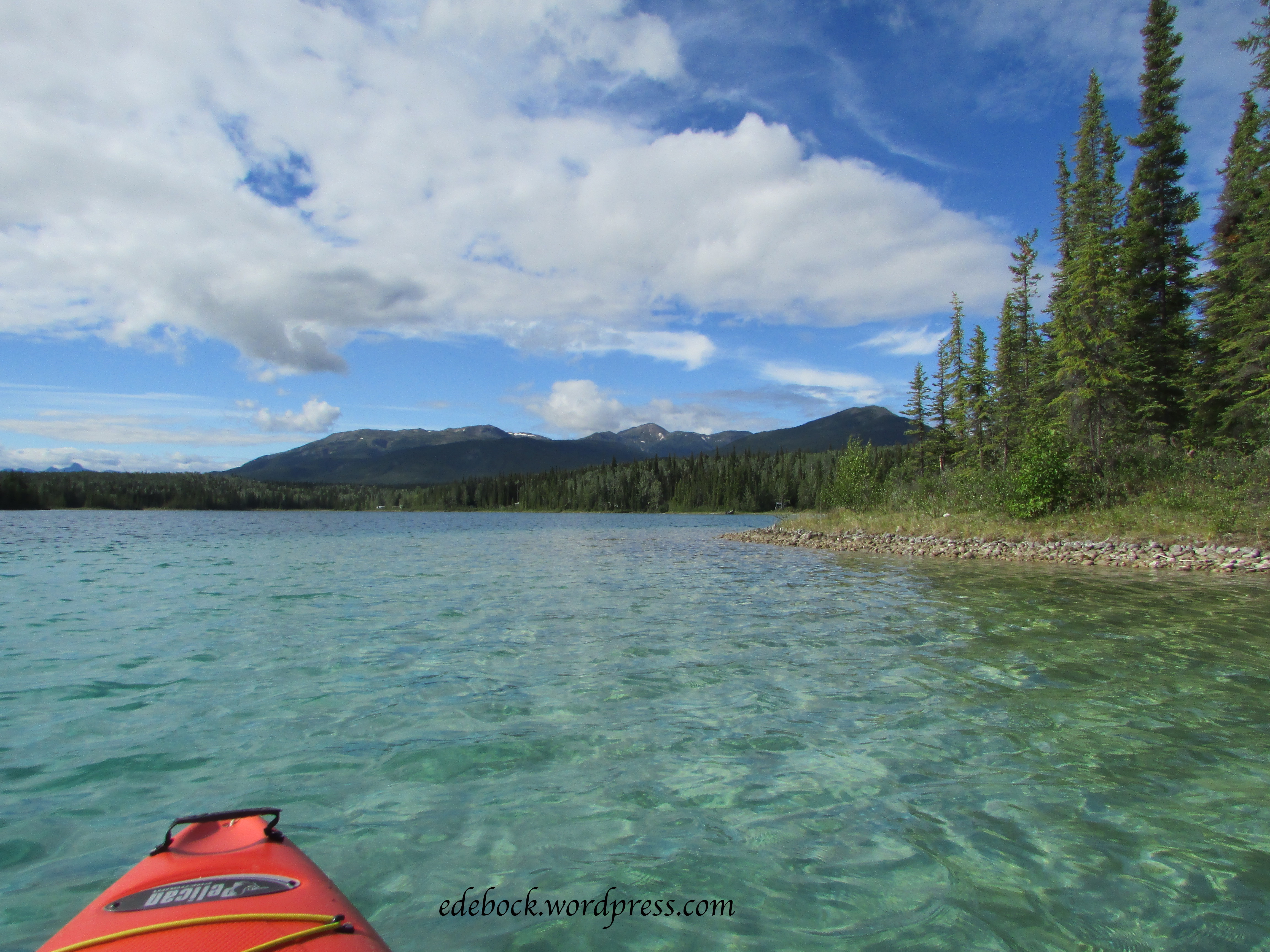
When we looked at possible shore excursions to add to our recent Alaska cruise, the scenic railway was the one that caught our attention and I looked forward to riding the train again! For the most part, the photos will speak for themselves, but I’ll add a few details as you ride along with us. 

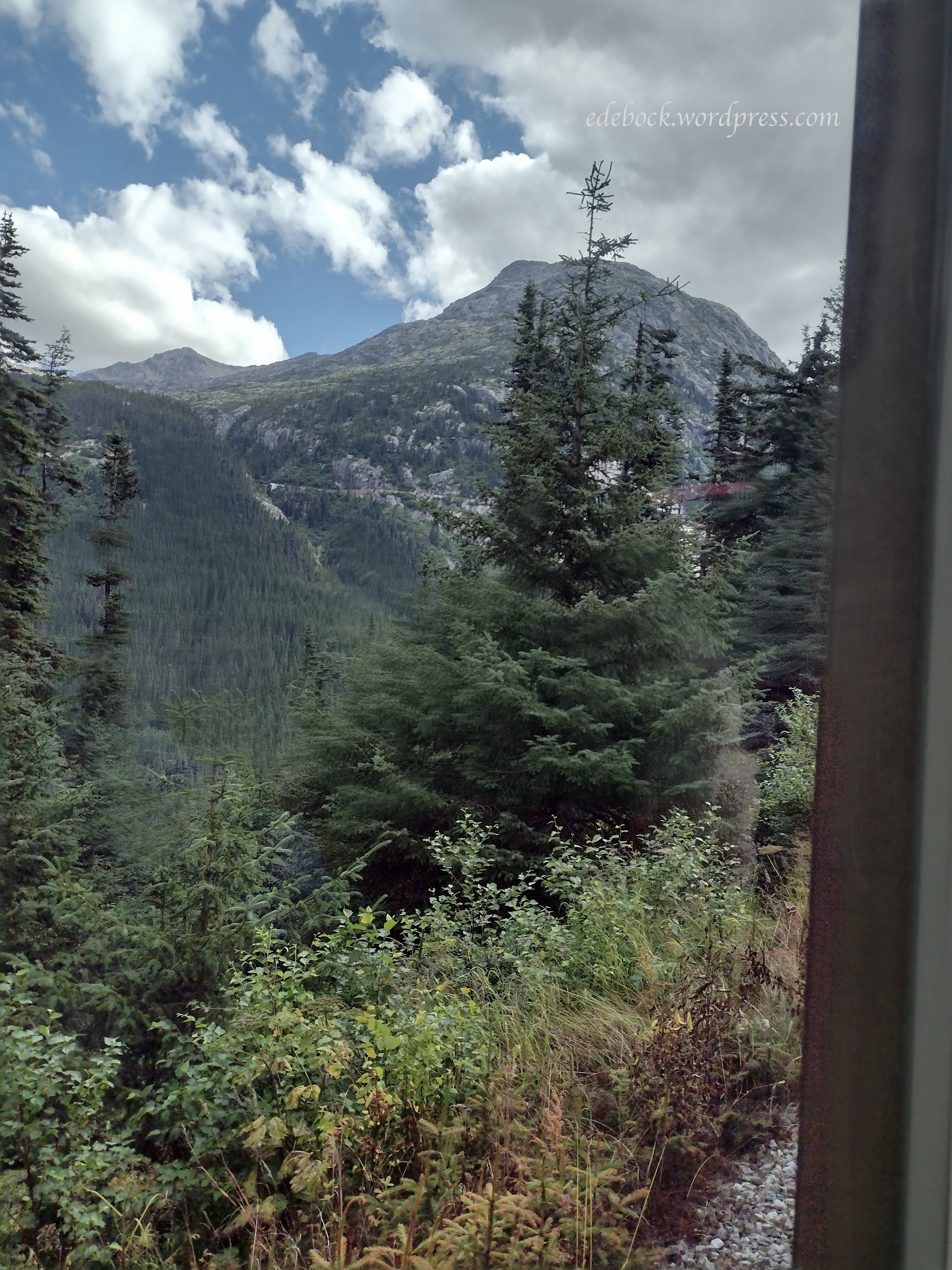
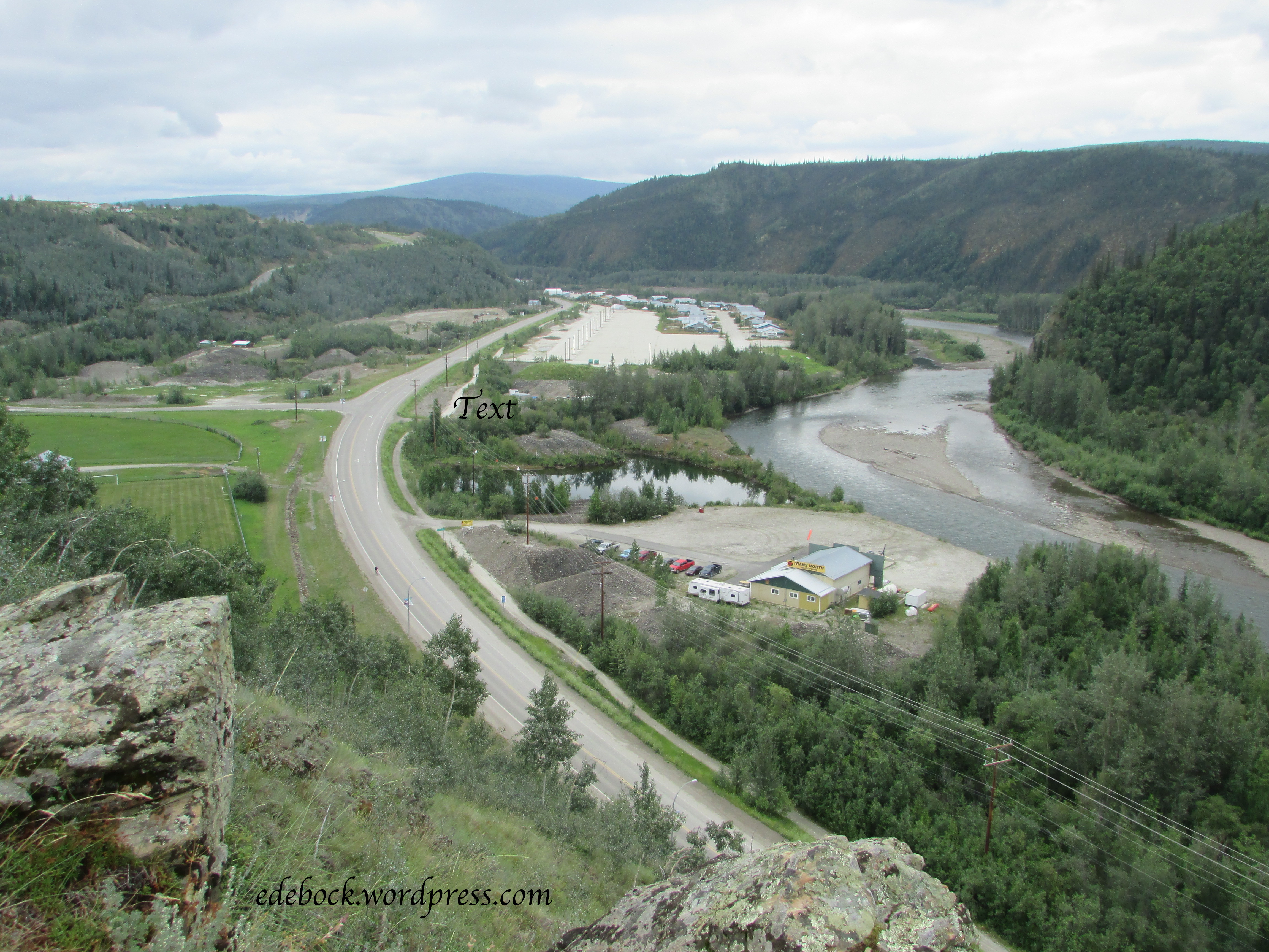
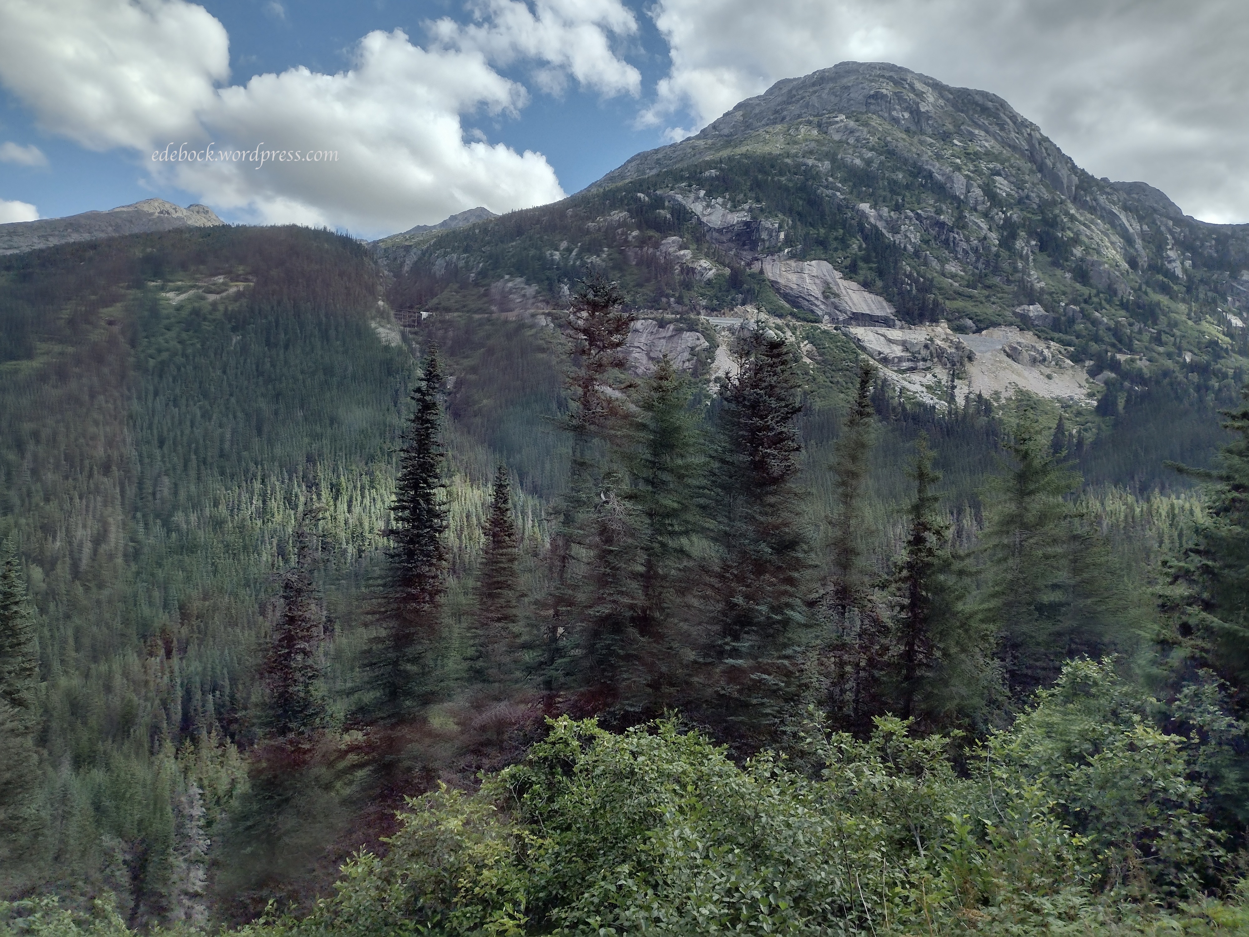
In the next photo, the line across the hillside on the far side of the gully is the Klondike Highway. 

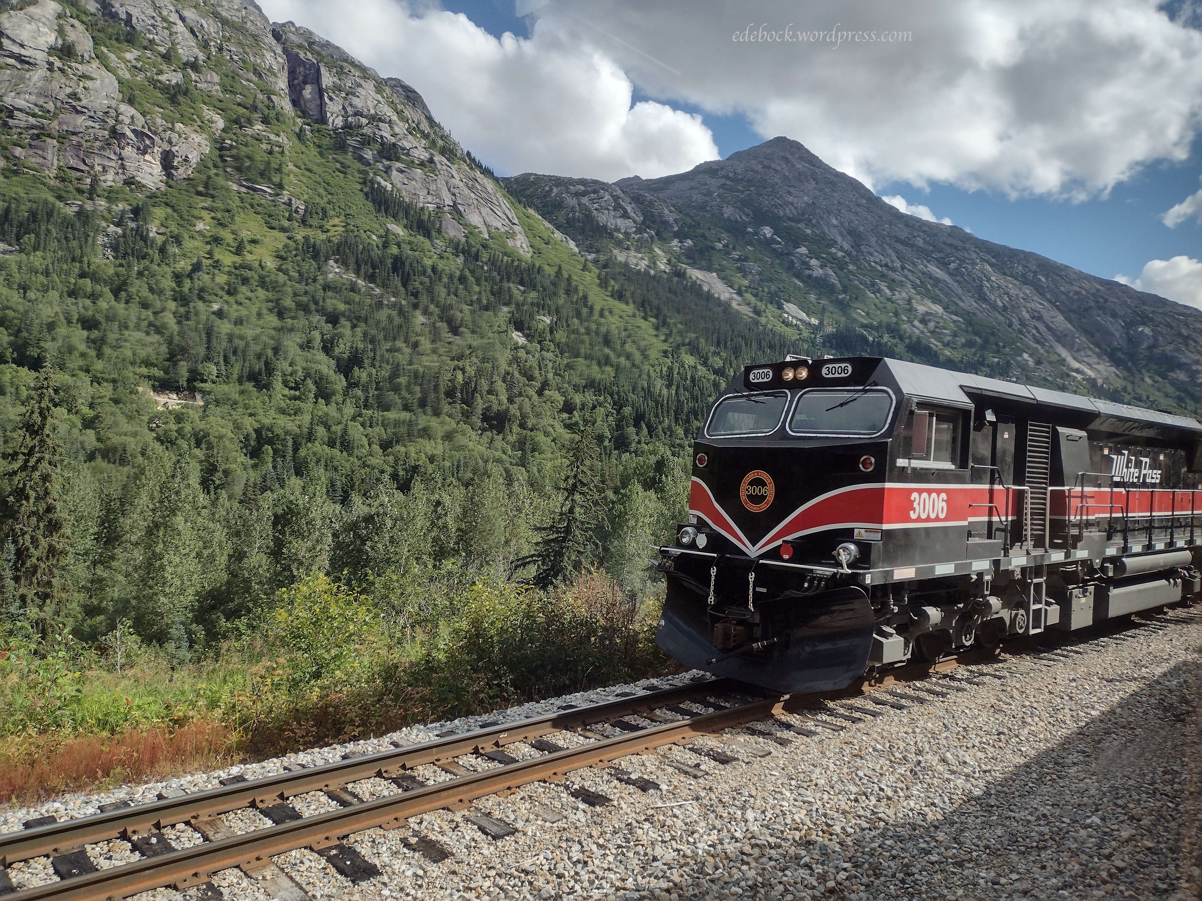
In the early days and when I rode the train in 1967, it was pulled by a steam locomotive. While the railroad still has two of those vintage engines in their fleet, most of the excursions now use diesel engines like this one that passed us going down as we were still climbing. 

That’s the shadow of our train crossing a bridge at the bottom of the next picture. 

If you look very closely at the next photo, you’ll see a tiny slice of blue in front of the distant mountains and in the V between the hillsides. That’s the Skagway harbour far below. 

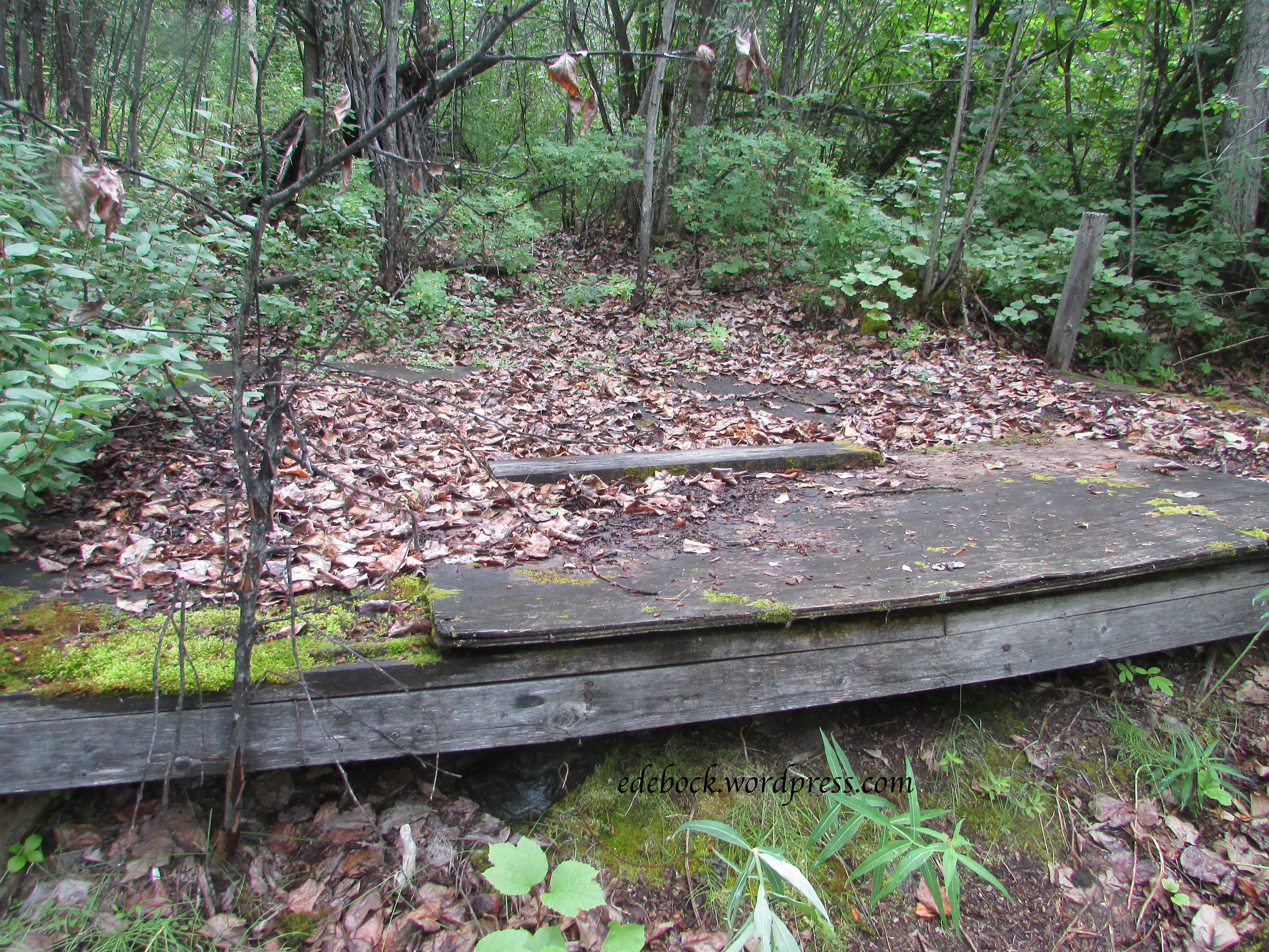
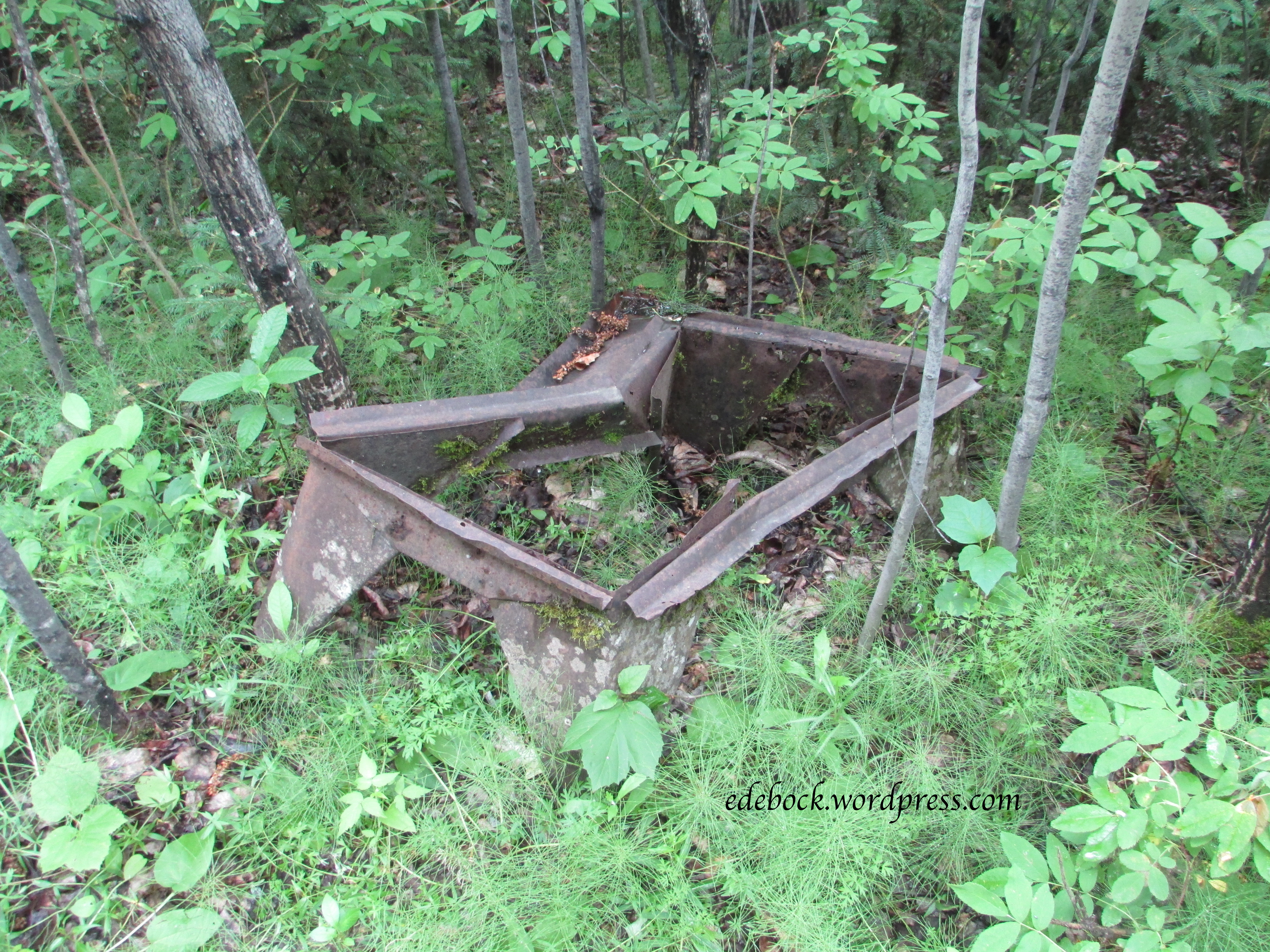
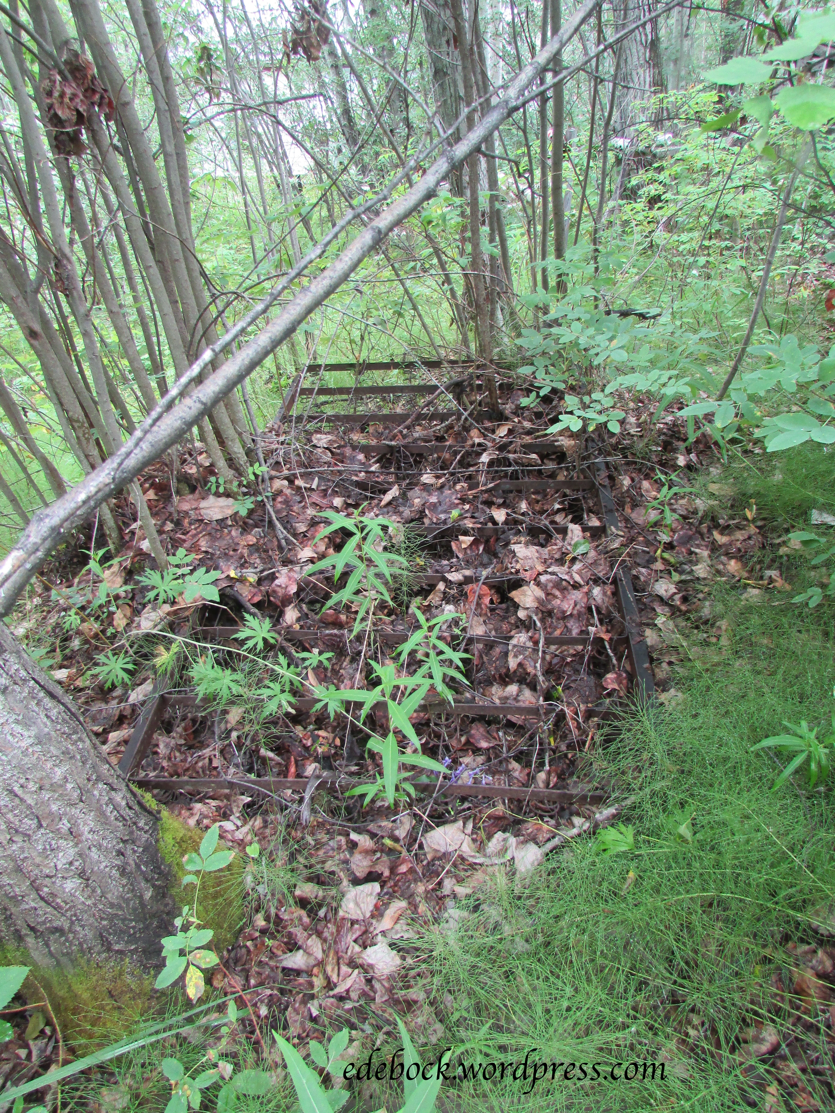
As the train approaches this broken trestle, it looks like it’s going to cross it, but it hasn’t actually been in use since 1969 and began to fall apart many years after that. It was a bit strange to look across at it and realize that I crossed it back in 1967. 

If you look very closely at this final photo taken near the summit, you can see one of the few remaining bits of the White Pass Trail that was traversed by thousands of gold seekers before the construction of the railway. 

If an Alaska cruise is in your future, I highly recommend the White Pass & Yukon Route shore excursion. You won’t be disappointed! 


Miles Canyon

IMG_4536

We didn’t spend much time at Whitehorse on our recent trip to the Yukon, but there was one site we’d been to on a previous trip that I wanted to revisit. Miles Canyon, where the Yukon River has cut its way through a flow of basaltic lava, is probably the most picturesque and dramatic natural feature close to Whitehorse. The narrow channel through the canyon was a serious challenge for miners and gold seekers on their way up the Yukon River to the Klondike gold fields. Hundreds of boats loaded with precious supplies as well as several lives were lost trying to navigate this treacherous stretch of river. Though the hydroelectric dam built in 1959 to supply Whitehorse with power somewhat tamed Miles Canyon, it is still a spectacular spot.

IMG_4538

IMG_4539

My main reason for wanting to revisit the canyon is the fact that since our previous visit in the early 1990s, I’ve conquered my fear of heights. This time I was able to cross the sturdy 85-foot-long suspension bridge over the gorge with confidence and I even managed to walk the narrow trail along the canyon’s rim. Of course, it probably helped that I didn’t have three young children in tow this time and didn’t have to worry about them plunging over the edge into the tumultuous water 50 feet below!

IMG_4553

IMG_4545


Kayaking northern Canada’s lakes

I’m so glad we bought our kayak before embarking on this trip! Northern Canada has thousands of gorgeous lakes, many of them easily accessible by road.

Twin Lakes, Yukon

As we drove the Klondike Highway from Whitehorse to Dawson City, we followed the shoreline of Fox Lake for several kilometres. Noting that there was a government campground near the northern end of the lake, we determined to stop there on our way back. When we mentioned that plan to our brother-in-law, Grant, who has spent most of his life living in the Yukon, he suggested that we try the smaller Twin Lakes instead. It was excellent advice!

Smaller than Fox Lake, the western Twin, where we camped and paddled until I thought my arms were going to fall off, was so much fun to explore. As you can see in the view from the campground, there were many little islands to paddle around and hidden bays to discover.

IMG_4530

IMG_4515

IMG_4527

As we approached one of the little bays, I heard an enormous splash. We stopped and listened. A second splash followed, much too big to be a fish jumping. It had to be a beaver. Paddling ever so slowly and quietly toward the rippled water, we soon spotted a furry brown head just above the surface. Following at a distance, we watched the beaver until he used his flat tail to signal yet another warning and then slipped out of sight. Just around the next bend, we spotted his home.

IMG_4524

Boya Lake, BC

A few days later as we made our way down the Cassiar Highway in northern BC, we stopped to camp at Boya Lake Provincial Park. We lucked out, snagging the most beautiful site in the campground right on the lake front.

IMG_4612

IMG_4596

IMG_4595

Again, paddling this lake was every bit as interesting as Twin Lakes had been. Though we didn’t hear any loud splashes this time, we did spot another beaver. The colours of the crystal clear water, quite shallow in places, was absolutely beautiful!

IMG_4611

It was the ever changing view from our campsite that was most mesmerizing though. As evening settled in, the water became dead calm and the reflections amazing! I was constantly jumping up to take another photo! Here are just a couple of my favourites.

IMG_4606

IMG_4608

If you decide to travel to the Yukon or northern BC and don’t mind camping without any services, I highly recommend government campgrounds. Located in beautiful spots like Twin Lakes and Boya Lake, they offer spacious treed sites and are meticulously maintained. At just $12/night, the Yukon campgrounds are a steal of a deal. BC parks aren’t far behind at only $20/night.

Don’t get eaten by a bear!

We have never seen as many bears in the wild as on this trip… 18 so far! We’ve even hesitated to go hiking in some areas due to the risk of meeting a bear on the trail. In spite of the sign, we did do the 9th Avenue Trail at Dawson City though.

IMG_4476

The only wildlife we saw was this curious fellow who stopped munching long enough to watch us go by.

IMG_4464

Well, that’s not entirely true. There were also mosquitoes! Lot’s of mosquitoes! We made two errors that a hiker should never make. First, I forgot my water bottle. I filled it and left it sitting on the counter in the trailer. Fortunately, I’d packed some pop for our lunch, so we were able to stay hydrated. Second, we forgot bug spray, a big mistake, especially in the north! The mosquitoes hadn’t been bad in town, so we didn’t didn’t even think about them until we were out in the bush getting bitten. Luckily, it was a cool day and we were wearing long pants and sleeves, so we didn’t get eaten alive.

Back to the bear sign though. Notice that it says, “BE ALERT MAKE NOISE”. I’ve been giving Richard a hard time lately over the fact that throughout our many years of marriage, he hasn’t been a very open communicator. I know that some of you who know him will find that difficult to believe, but it’s true. I also read that talking works better than carrying bear bells as a way to avoid an encounter with the furry beasts. When we read the sign, I told Richard, “Today you’d better talk to me or you might get eaten by a bear!” In fact, I think a new code phrase has been born. From now on, if I think he’s being particularly uncommunicative, all I’ll have to say is, “Don’t get eaten by a bear!” and he should know what I mean!

Anyway, I digress. Back to the hike…

Beginning in 1898 when the population of Dawson City swelled with thousands of people hungry for gold, tents and then log homes were built up the steep hillside behind the present day town. Today, the uppermost avenue is 8th, hence the name of the 9th Avenue Trail that follows the perimeter of the town, but further up the hill. As the gold rush came to an end and the population dwindled, the hillside homes were eventually abandoned, but there are glimpses all along the trail that there were once people living there. The homes were often built on flat platforms with stone retaining walls. Most of these wooden structures are long gone, but a few signs of them can still be seen.

IMG_4462

IMG_4466

There was no garbage collection in Dawson’s early days. Broken and discarded items were often piled up outside the buildings. Rusty remnants can still be seen along the trail offering archaeologists plenty of information about life in early Dawson.

IMG_4478

I’m not even sure what that was, but the bed springs were obvious. I wonder who slept on them and what their story was?

IMG_4477

The hike was not a long or strenuous one. The 9th Avenue Trail itself is only about 2.5 km in length. We made it a little longer by adding the connecting Crocus Bluff Nature Trail which leads out to a viewing platform perched on a rocky bluff overlooking the highway entering Dawson and the confluence of the Klondike and Yukon Rivers.

IMG_4473

IMG_4470

Dawson City, heart of the Klondike

On August 16, 1896 gold was discovered on Rabbit Creek (later called Bonanza), a tributary of the Klondike River. When news of the strike reached the outside world the following summer, the Klondike gold rush was on! 100 000 people set off for the Klondike and approximately 30 000 of them made it. By the summer of 1898, Dawson City, at the confluence of the Klondike and Yukon Rivers, had become the biggest city north of Seattle and west of Winnipeg!

We thoroughly explored Dawson’s gold rush history on previous visits, but this time we were there for our nephew’s wedding. Richard and his five siblings were all together for the first time since 2012, so much of our time was spent visiting with family.

With a present population of less than 2000 people, however, the town is small and easy to see. Come take a look around with me.

Built by Arizona Charlie Meadows in 1899, in its heyday The Palace Grand Theatre saw everything from vaudeville to silent movies. Eventually, however, it fell into disrepair. In 1992, the then condemned structure was given to Parks Canada by the Klondike Visitors Association and underwent complete renovation. For many years, it was home to the Gaslight Follies, a high energy musical comedy that played nightly from May to September. Sadly, once more in need of refurbishing, the theatre is presently closed again. Plans to have it reopen in time for Canada’s 150th birthday and the 75 anniversary of the building of the Alaska Highway this summer fell through when asbestos was discovered and progress on the project slowed significantly.

IMG_4422

From 1896 to the mid 1950s, more than 250 sternwheelers plied the waters of the Yukon River. At one time, as many as 70 of these majestic riverboats carried passengers and supplies from Whitehorse to Dawson City. Now the stately SS Keno sits on Dawson’s riverbank welcoming visitors to come aboard for a step back in time.

IMG_4444

The streets of Dawson offer a mix of old and new, often side by side.

IMG_4427

Many buildings remain from Dawson’s early days, some still in use and others reminders of days gone by.

IMG_4426

IMG_4428

IMG_4435

Even modern structures retain the look and character of historic Dawson.

IMG_4424

IMG_4431

Permafrost, a thick layer of permanently frozen soil below the surface of the ground, underlies this northern community and requires special building techniques to keep it from melting. Old buildings like these ones, hastily constructed during the gold rush, show what happens when the frozen sublayer softens.

IMG_4434

No visit to Dawson would be complete without at least strolling by Robert Service’s cabin. It was here that the poet who penned The Cremation of Sam McGee and numerous other northern tales lived from 1909 to 1912.  A costumed actor playing the role of Robert Service offers readings there every afternoon during the summer months.

IMG_4481

The Cremation of Sam McGee begins with the words “There are strange things done in the midnight sun by the men who moil for gold”. The midnight sun is one of the things that I love best about northern Canada in the summertime. Here’s a photo taken at 11:30 PM. As you can see, the sun has dipped behind the hill overlooking Dawson, but it never gets any darker than this!

IMG_4513

The final stop on our virtual tour of Dawson City, the Commissioner’s Residence, built 1901 as to house the government leader of the newly formed Yukon territory, now has a permanent place in our family history. It was on those steps that our nephew and his beautiful bride were married on Saturday, July 8th!

IMG_4438