70!

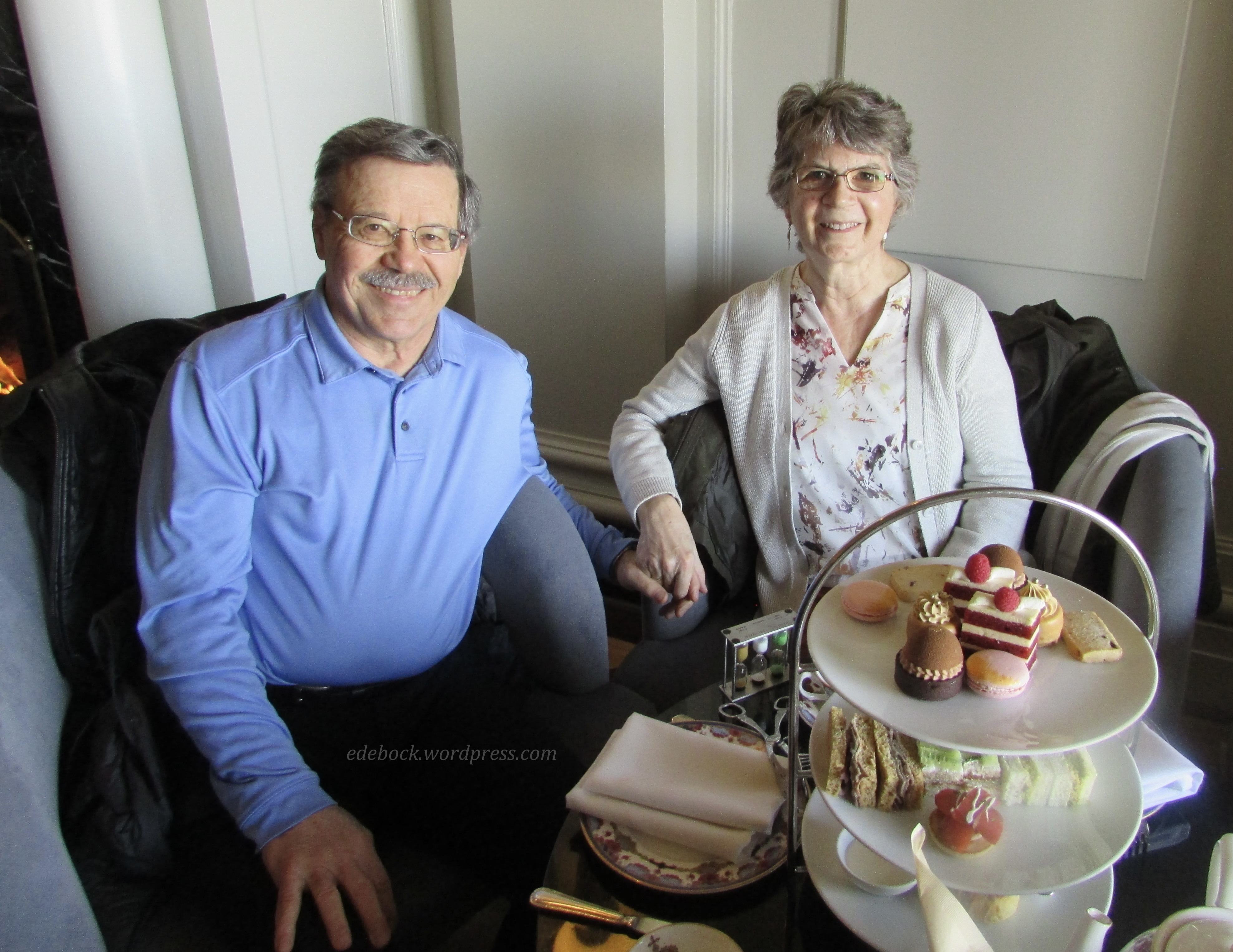
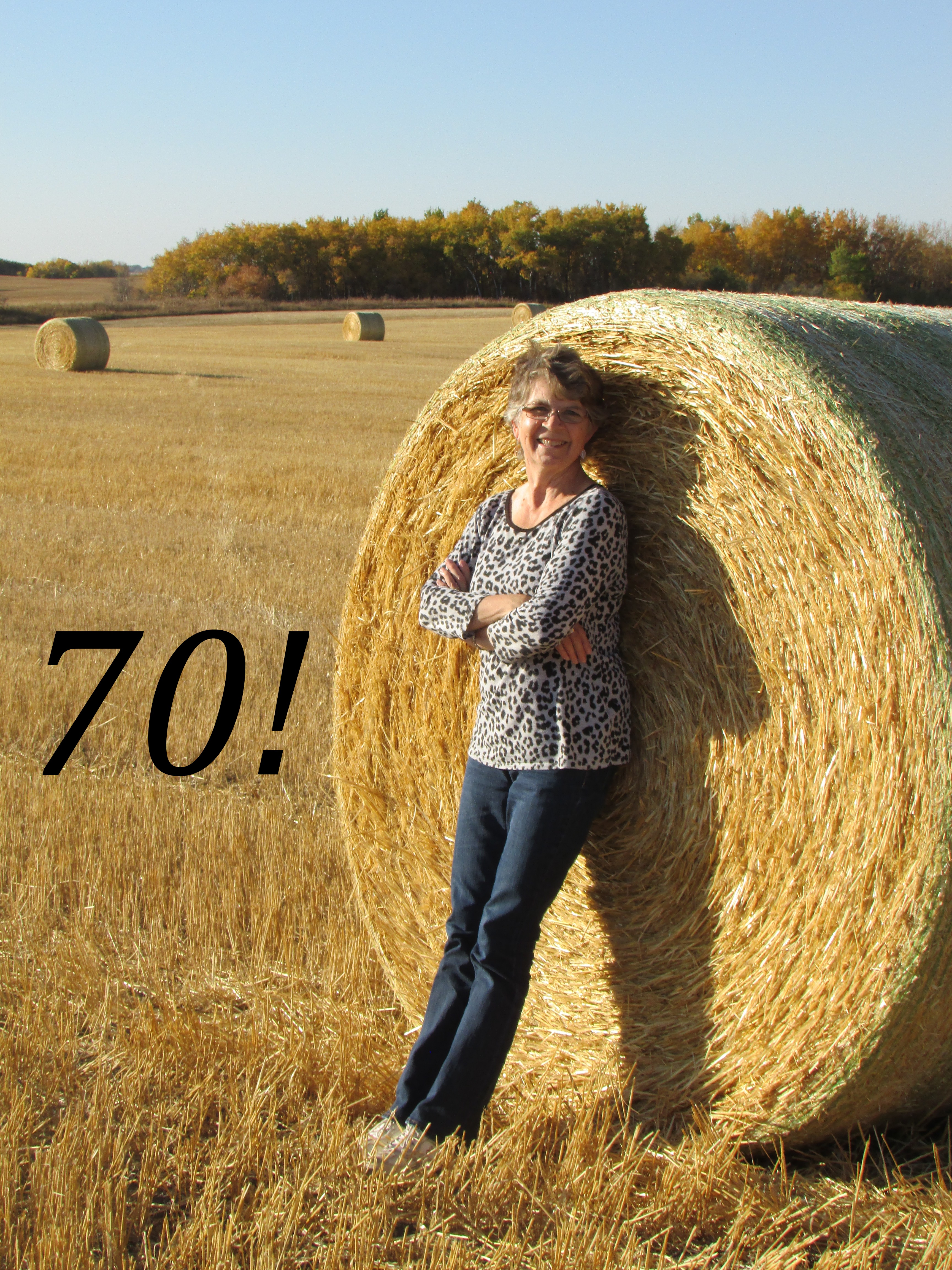
Today is the day that I’ve been looking forward to for a long time… my 70th birthday! When I was diagnosed with my first cancer nine years ago, I didn’t expect to live to see this day, but here I am and it feels like a victory!

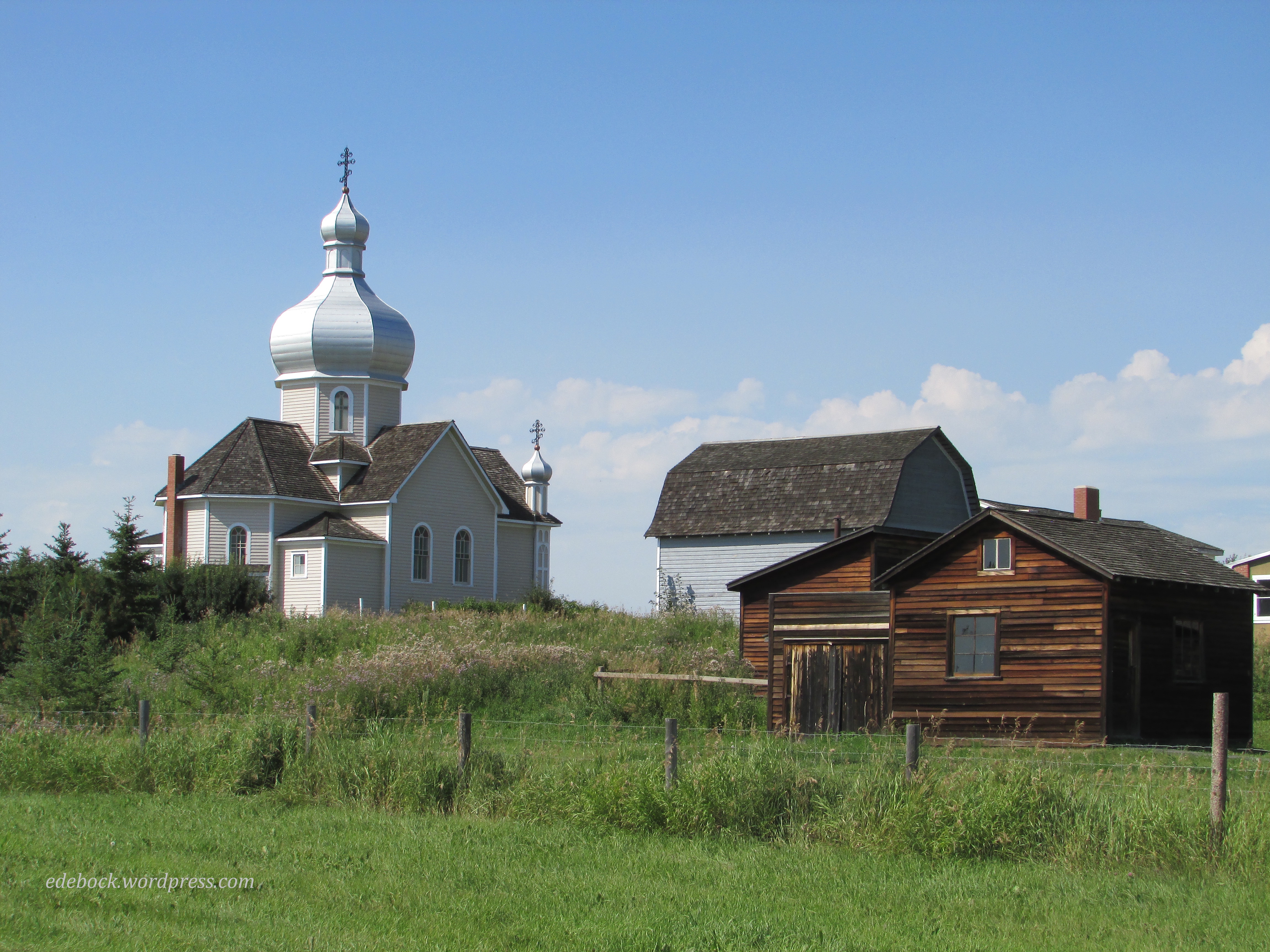
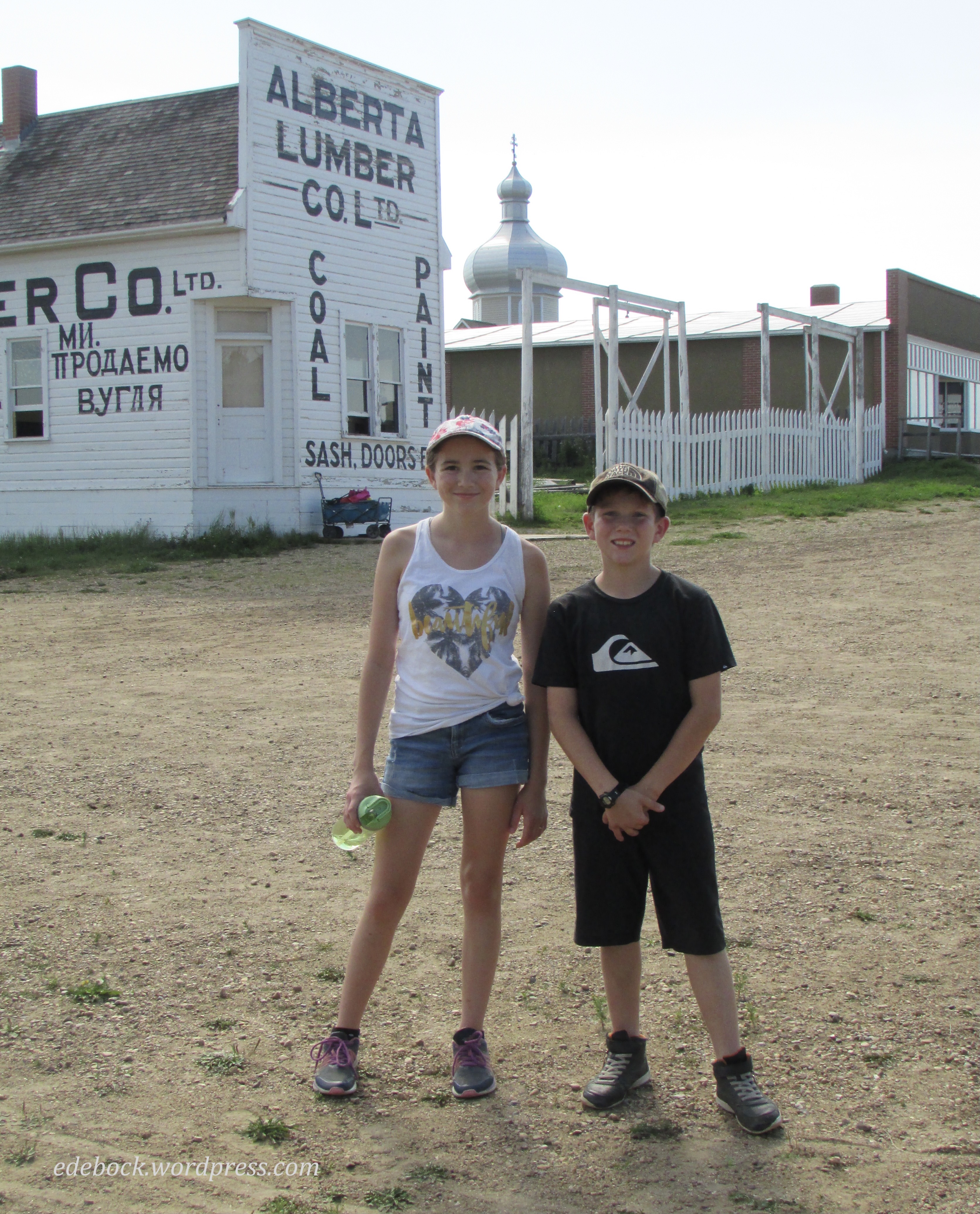
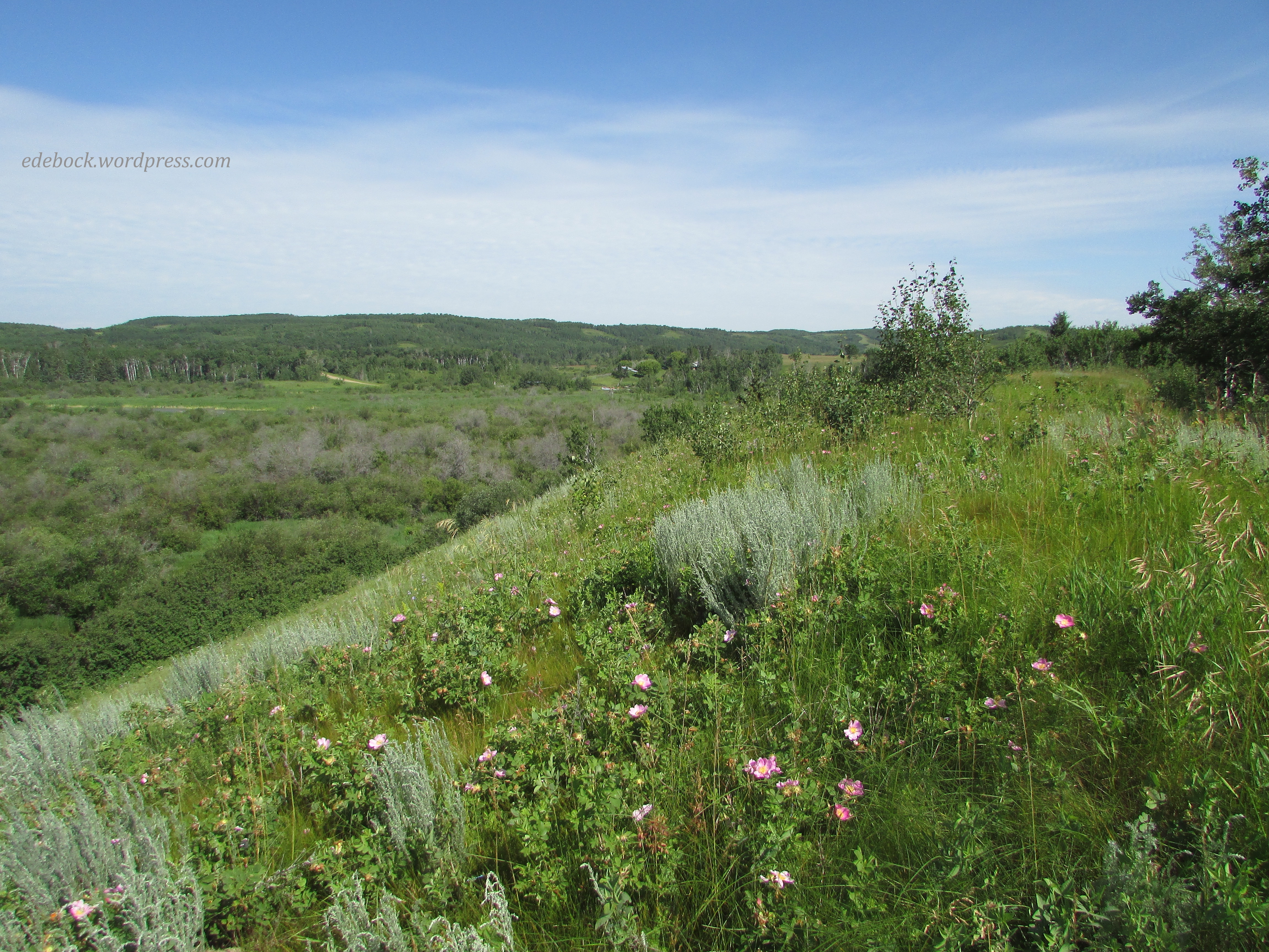
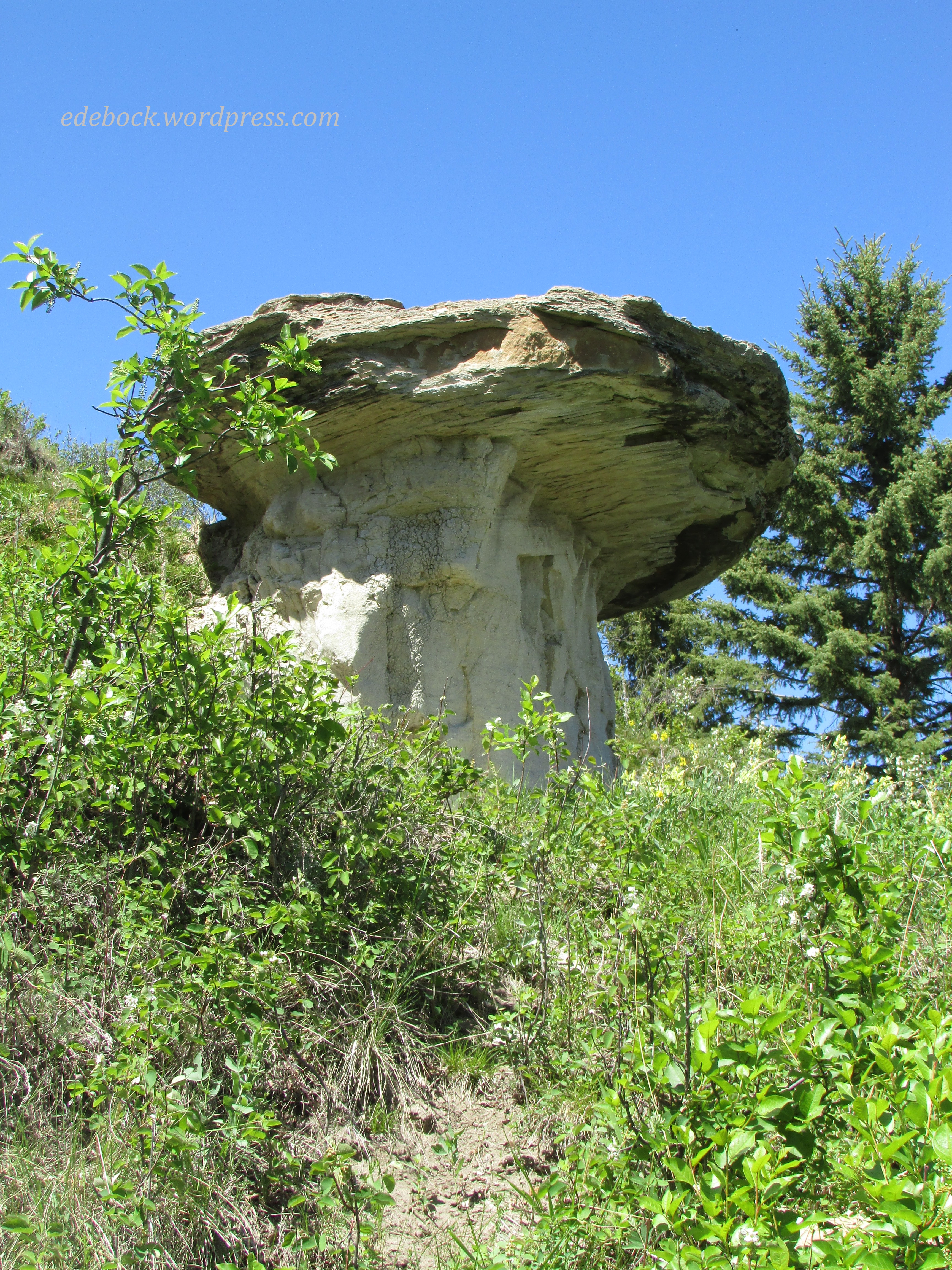
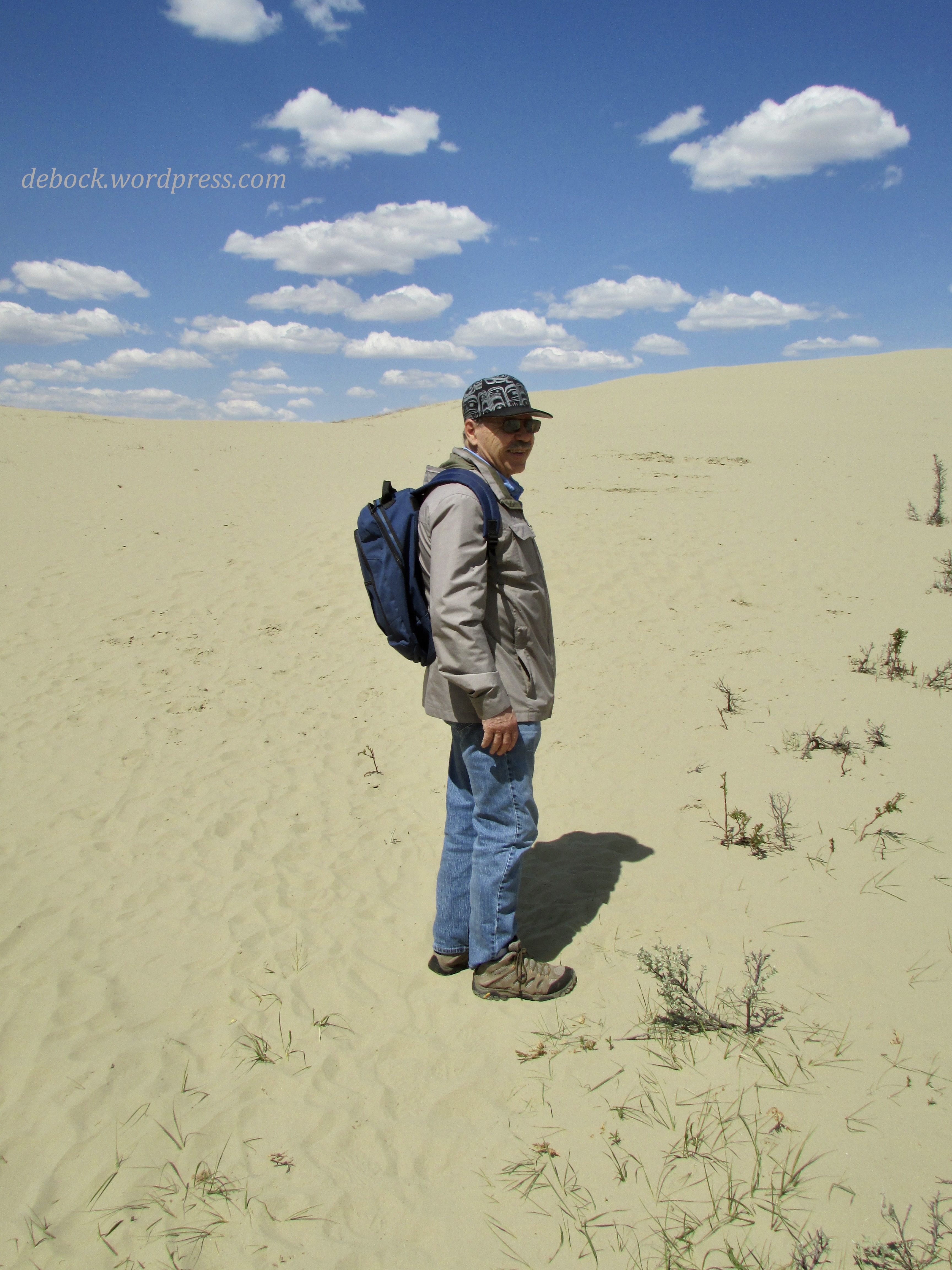
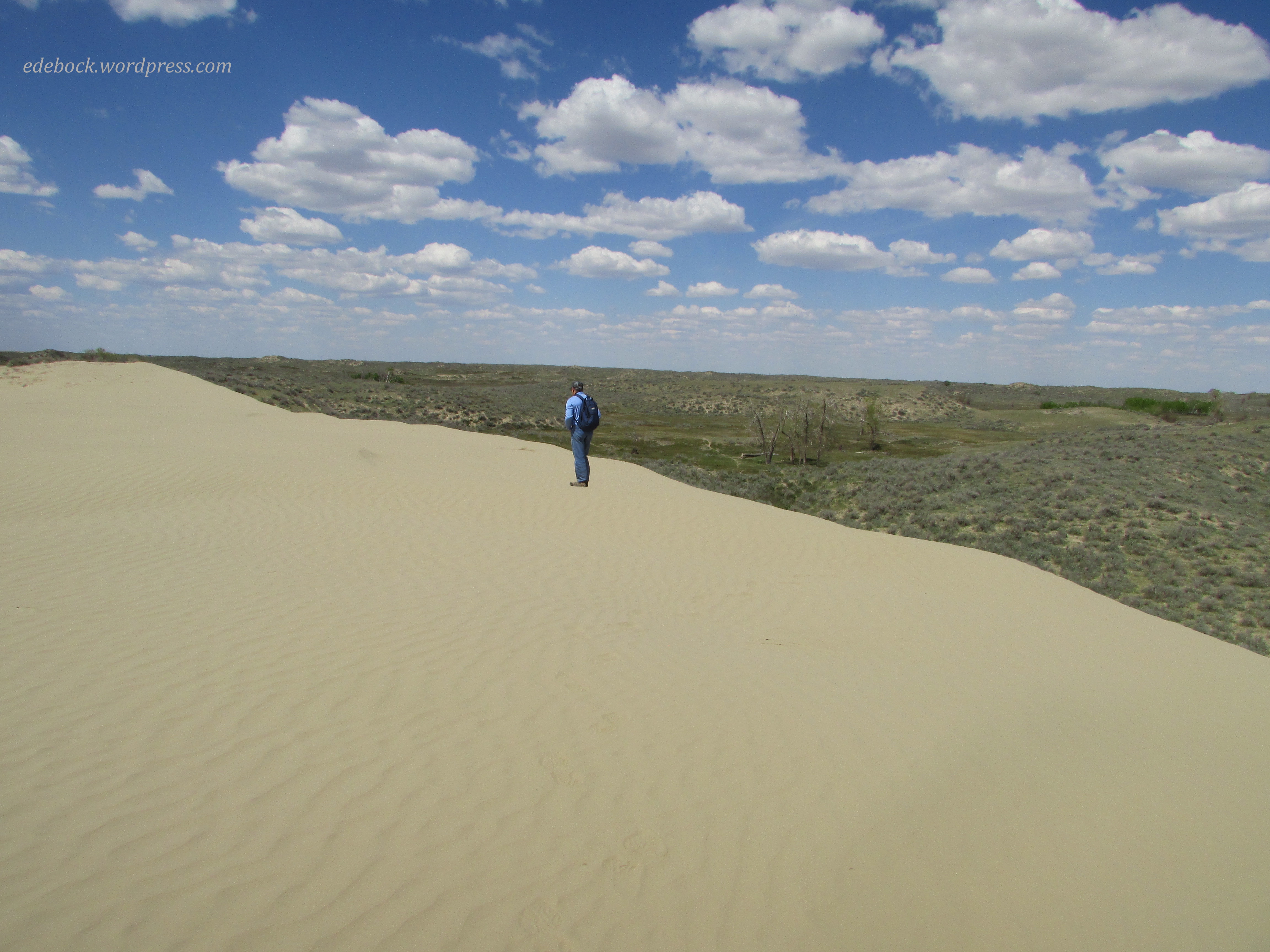
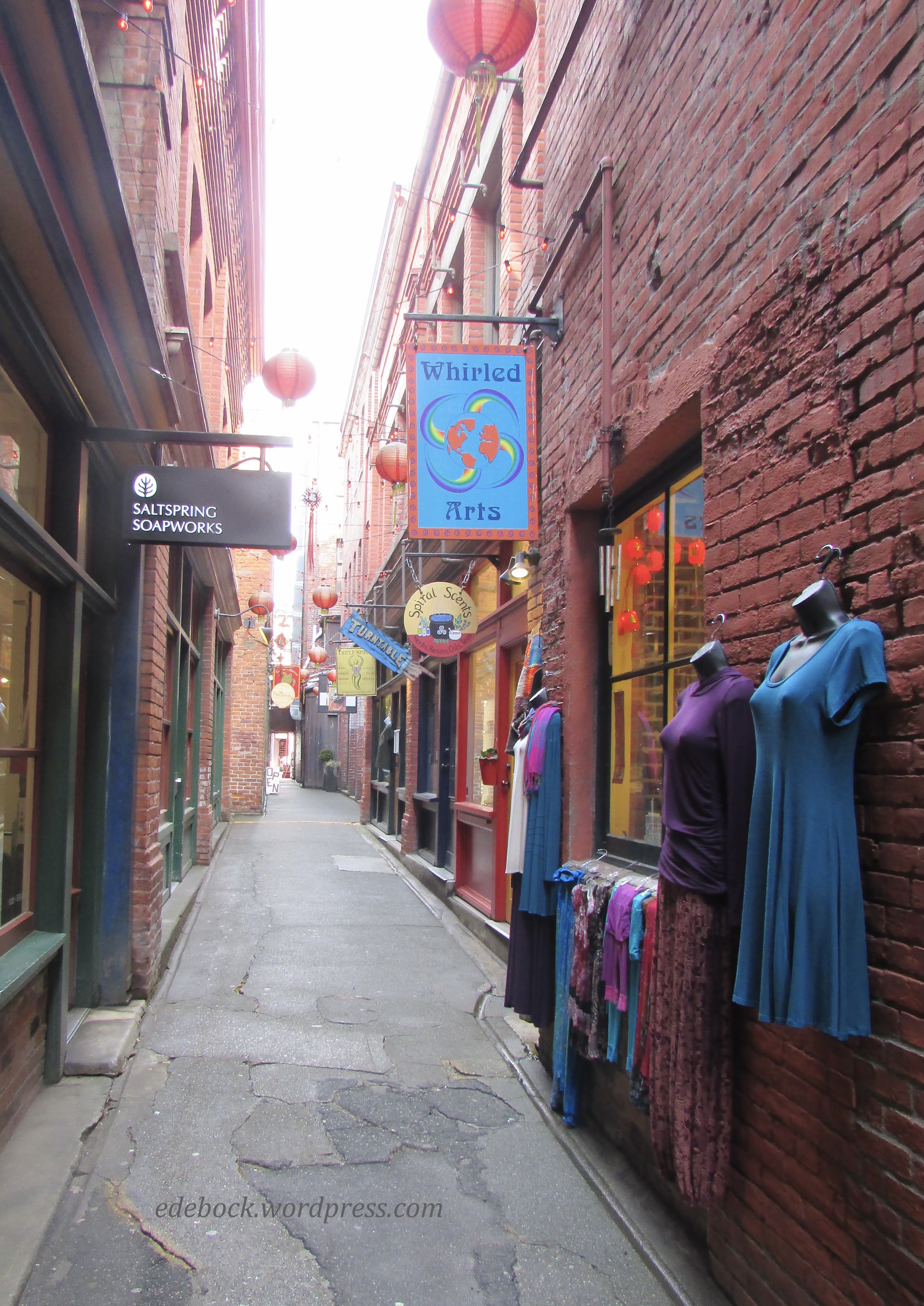
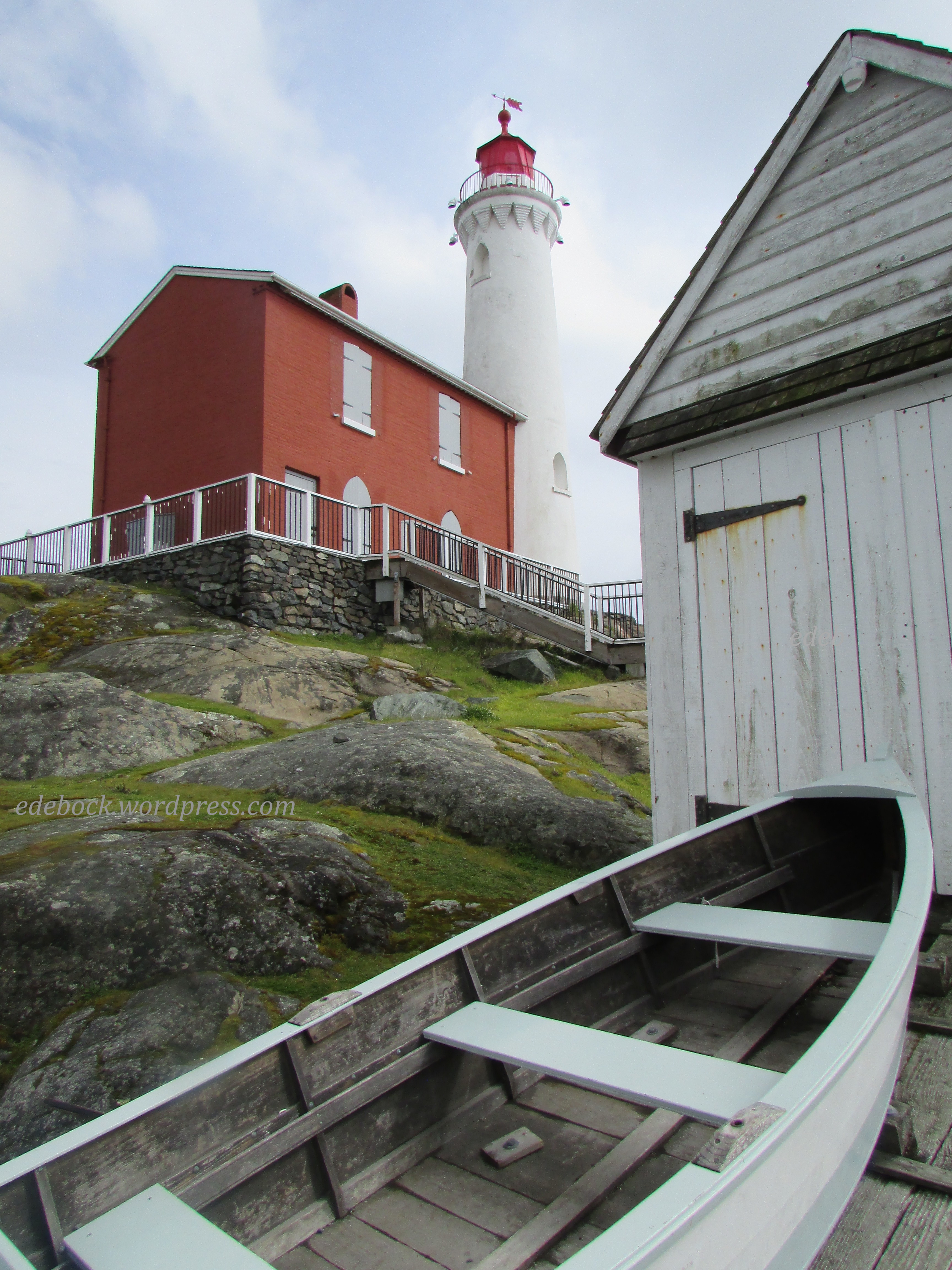
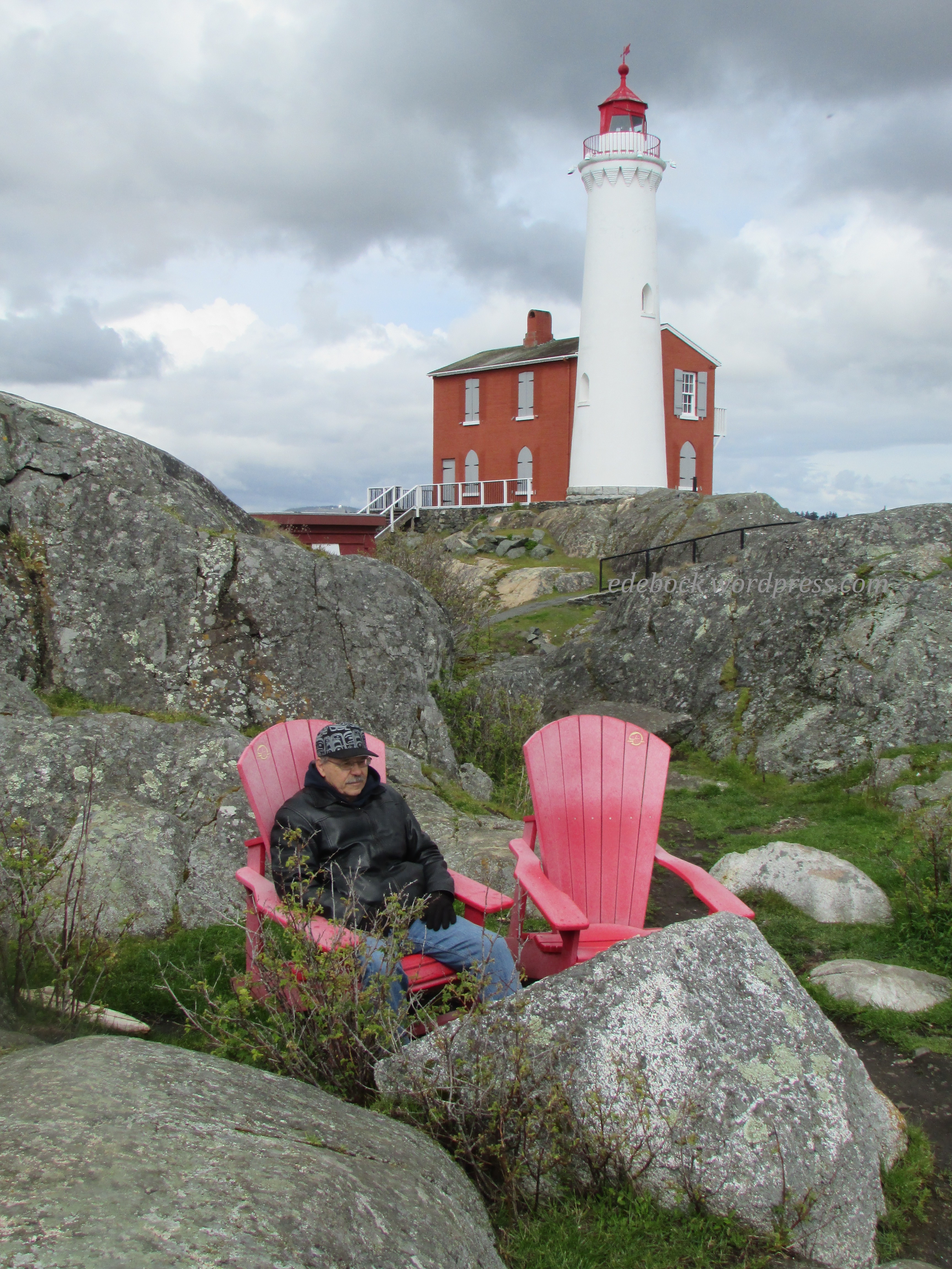
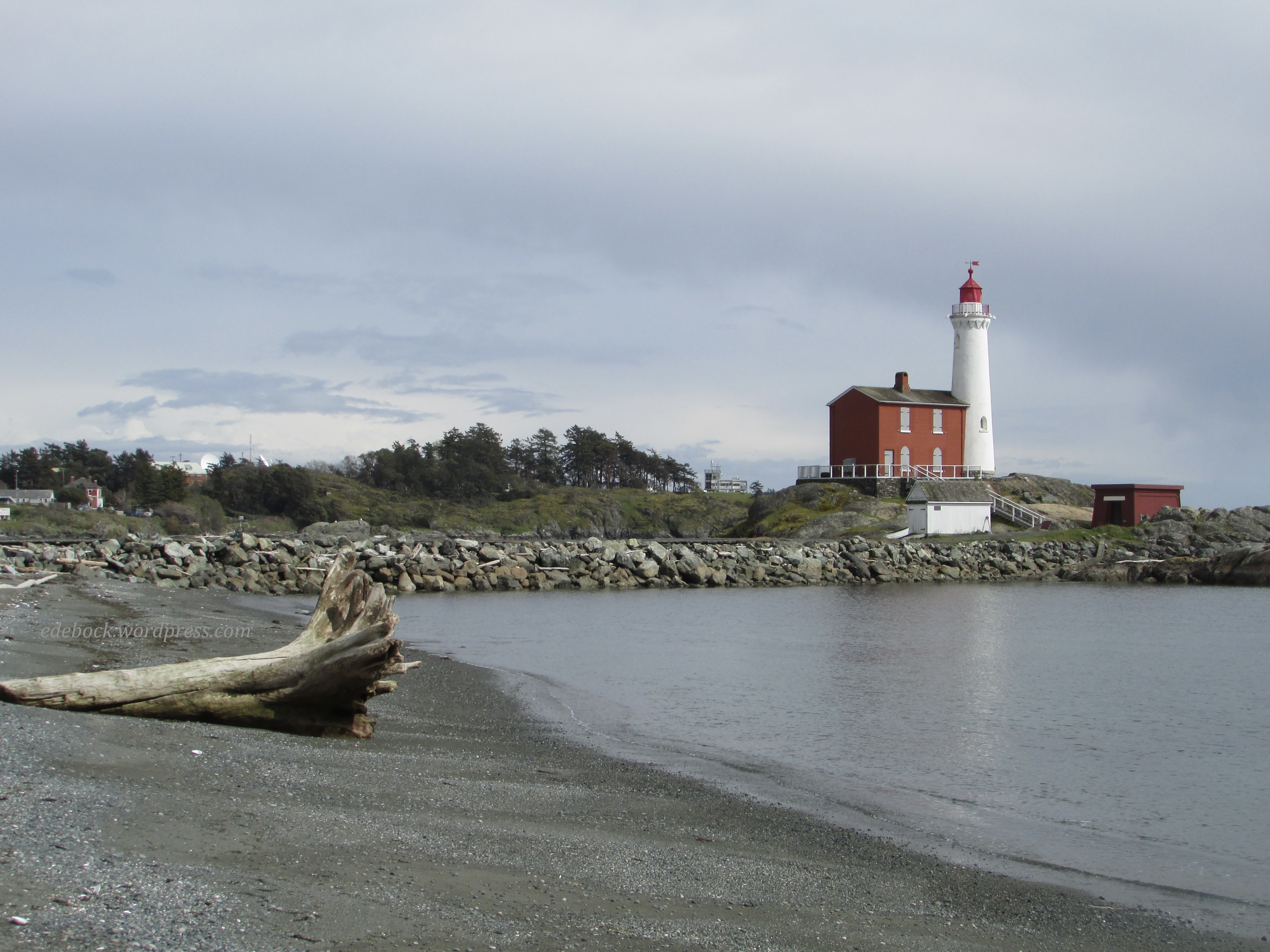
Months ago, I began to think about what I wanted to do to celebrate this milestone. Being an avid traveler, the first thing that came to mind was a trip. I visualized us packing a suitcase and climbing aboard a plane for the first time in over three years. Where would we go? The possibilities were endless, but Newfoundland was high on my list. We’d explore its rugged landscape, visit isolated coastal villages, and eat our fill of fresh seafood! Yes, Newfoundland was a definite possibility.

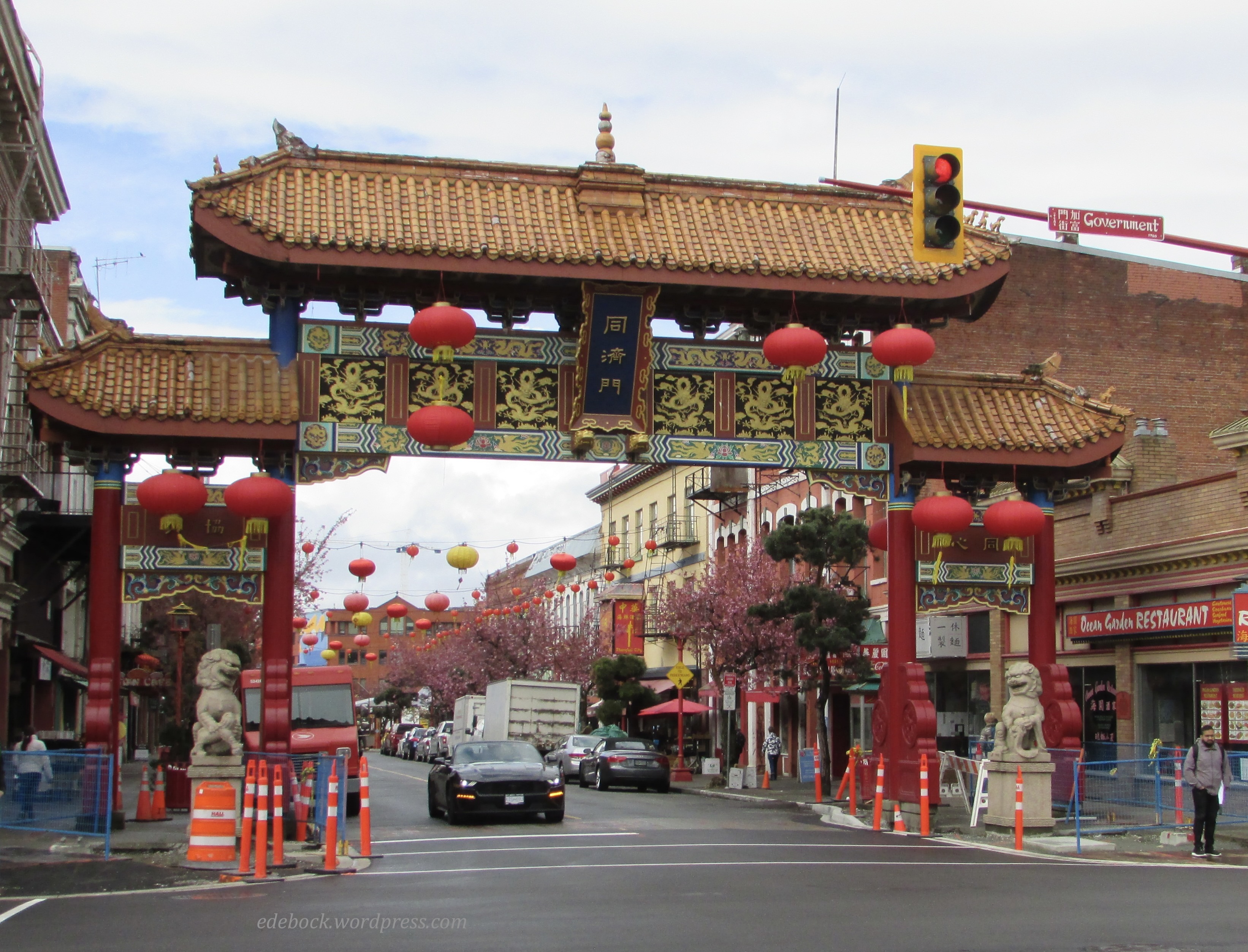
Then came hubby’s cancer diagnosis and the all-important consultation with a specialist to determine whether or not he’d be able to have surgery was booked for October 4. So, we’d be in Edmonton, not Newfoundland or some other more exotic location. The iconic “going to Winnipeg” ad that used to air on Canadian TV came to mind.

Oh well, there are lots of things to do in Edmonton. I looked into booking a hot air balloon ride as that’s been on my unwritten bucket list for a long time. We’d enjoy the fall colours in the river valley as we drifted silently over the city and then we’d sip champagne when we came back to earth. Unfortunately, however, the hot air balloon season closed last week! I’d have to think of something else. 

Then came Covid and even the long awaited doctor’s appointment had to be postponed. So here we are at home, doing nothing but watching rain fall outside the window! Earlier in the week, I felt pretty depressed about the lack of a plan for celebrating this special day, but we’re both feeling better and we’ve put in our five plus days of isolation. Regardless of where we are (or aren’t) and what we’re doing (or not doing) I’m 70 and I’m excited to be here! 

IMG_4744

Now, what will I do with the rest of this day?

Ukrainian Cultural Heritage Village

IMG_4420

Prior to the recent influx of refugees from Ukraine, Canada was already home to 1.4 million people of Ukrainian descent, the world’s second largest Ukrainian diaspora after Russia. The Ukrainian Cultural Heritage Village, an open-air museum located approximately 50 km east of Edmonton, Alberta uses costumed interpreters to recreate a pioneer settlement and commemorate the lives of Ukrainian Canadian settlers from the years 1899 to 1930.

Like everywhere else, it seems, the Village is short-staffed this summer, but there were still plenty of interactive activities for us to enjoy when we visited with two of our grandchildren earlier this week.

The one room schoolhouse was a favourite. The teacher gave sample lessons in arithmetic, spelling, and grammar. She also checked to make sure our fingernails were clean and suggested that some of us weren’t dressed appropriately for school!

Learning to do laundry the old-fashioned way was also fun for Harlow and Yari.

IMG_4399

At the Provincial Police Post, we put Yari in jail!

IMG_4403

IMG_4404

He also got to help the blacksmith.

IMG_4421

For lunch, we sampled a variety of authentic Ukrainian foods including pyrohy (perogies), holubtsi (cabbage rolls), sausage, borshch (beet soup), and somewhat less authentic, but absolutely delicious, pyrohy poutine!

It wasn’t until later when I looked at my pictures that I realized that I’d taken lots of photos of the kids and almost none of the village’s many buildings!

IMG_4425

In addition to houses, barns, schools, and various places of business that have been moved to the site from communities across central Alberta, there are three churches that are still active places of worship. As such, they aren’t open to the public.

IMG_4406

St. Nicholas Russo-Greek Orthodox Church was built in the rural community of Kiew, Alberta, by Ukrainian settlers from Galicia. The more elaborate St. Vladimir’s Ukrainian Greek Orthodox Church, shown in the first photo above, originally stood in Vegreville. Though we weren’t allowed to enter, we were able to view the very traditional interior, with it’s cross-shaped floor plan, from the open doorway. 

IMG_4423

Although the website suggests 2-3 hours to tour the village, we took significantly longer walking the dusty streets and pathways and exploring virtually every nook and cranny that was open to us. We finished our day with a ride around the village in a horse drawn wagon.

A walk in God’s garden

Several of our planned hikes over the past two weeks were cut short or thwarted entirely by flooding due to unusually high water levels. In spite of that, we did manage to complete a few and one of them stands out as being the most amazing and unique.

An esker is a long, narrow ridge of winding hills composed of sand and gravel that was deposited thousands of years ago by a stream that ran underneath a glacier that once covered the land. One such ridge lies to the west of Laurier Lake and extends south into Borden Lake in Alberta’s Whitney Lakes Provincial Park. The 5.8-km out-and-back Borden Lake trail follows the top of the esker. 

IMG_4296

IMG_4299

IMG_4305

The trail is considered a moderately challenging one because the esker is far from flat. As we made our way up and down its rolling hills, we found ourselves surrounded by a myriad of wildflowers in bloom. I truly felt like I was walking in God’s garden! 

While I recognize some of the flowers like the wild rose, Alberta’s provincial flower, and the lone tiger lily, there were many others that I didn’t know by name.

We had the trail entirely to ourselves. There were no people for miles around. Thankfully, we didn’t see any bears either although there was some fairly fresh sign on the path and with bushes loaded with berries alongside the trail, they probably weren’t very far away. We kept our bear bell jingling and our bear spray close at hand just in case it was needed! We actually did see a young bear in the campground the following day, but thankfully, we were in the vehicle at the time and it was nowhere near our campsite. 

IMG_4312

As we continued hiking, Borden Lake soon came into view and if you look closely, you can see the esker jutting out into the water. The trail goes to the very end.

IMG_4318

IMG_4319

When we reached the end, hubby sat down to rest, but I took off my shoes and socks and waded right in! 

IMG_4322

The water was refreshing, but soon it was time to retrace our steps back through the garden and return to camp. 

Furries, feathers, and fireflies

If you’ve been following this blog for very long, you are no doubt aware that hubby and I love to camp, hike, and kayak. Here in Canada, the season for enjoying those activities is short and if we’re not careful our calendar fills up with other activities such as the meetings that we’ll be attending next week as delegates for our church. Sometimes we have to be creative in order to carve out time for the things we most love doing, so that’s what we did this past week.

Hubby had a medical appointment in Vermilion, a town a little less than an hour and a half northeast of here. (You know you’re in Canada if you measure distance by how long it takes to drive somewhere!) Vermilion happens to border a provincial park with a campground, an extensive network of trails, and a reservoir suitable for kayaking. What could have been a day trip for a doctor’s appointment became a three day camping trip instead!

IMG_4167

We quickly discovered that Vermilion Provincial Park is built on a giant gopher colony. These furry little creatures, a bane to farmers when they take up residence in their fields, were absolutely everywhere! At any given moment, we could see half a dozen or more of them grazing, standing like sentinels, or wrestling and playing on the grassy slope in front of our trailer. The young ones were particularly entertaining to watch. They were very curious about us too!

Vermilion is hometown to Beckie Scott, Canada’s most decorated cross-country skier. A three time Olympian, Beckie won gold in Salt Lake City in 2002, becoming the first Canadian (and the first North American woman) to win an Olympic medal in cross-country skiing. The road leading into Vermilion Provincial Park is called Beckie Scott Trail and the Vermilion Nordic Ski Club, based out of a renovated 1905 train station in the park, maintains groomed ski trails during the winter which are used for hiking in the summer.

We did a 7.5 km hike on Thursday afternoon. While much of the hike was fairly level, as we made our way up and down some of the hills along the way, I was glad I was on foot and not skis! As a former cross-country skier, I knew that some of those uphill slopes would have been gut-busters!

As we set off on the trail, we noticed a “Bear in Area” sign. According to other campers, it was a mama with cubs. Not wanting to come face to face with her, we kept our bear bell jingling as we walked and we also had bear spray close at hand in case it was needed. Thankfully, it wasn’t. The only wildlife we spotted was these two bunnies who didn’t seem too concerned about our presence.

IMG_4158

Much of the time, the trail followed the edge of the Vermilion River reservoir. The water was almost dead calm, unlike the previous afternoon when we contended with a fairly stiff breeze while out in the kayak.

IMG_4150

Red-winged blackbirds are a common sight when kayaking on Alberta lakes and rivers, but I managed to get better photos of these ones with my feet solidly on the ground than I’ve ever been able to get from the boat.

IMG_4154

After a day in the fresh air and an invigorating hike, we were ready to let the campfire die out and head for bed by 11 PM, but I had to stay up later. Earlier in the day, a couple camped near us had told us that they’d seen fireflies the night before, something we’d never seen in Alberta before. At this time of year, however, with the longest day of the year less than two weeks away, the sun doesn’t set until nearly 10 PM and it isn’t fully dark until close to midnight. I had to stay up long enough to see those fireflies! Sure enough, when I stepped back out of the trailer just before crawling into bed, little dots of light flashed all around! It was magical!

Hoodoos and buffalo beans

The last time we hiked the Meeting Creek Coulee near the village of Donalda was late in the fall. The trees were bare and the landscape was shades of gold and brown. Today’s hike through the same area was entirely different! 

IMG_1808

IMG_4124

Everything was so green and there were wildflowers everywhere, especially the bright yellow buffalo beans that bloom across the southern half of Alberta and Saskatchewan at this time of year. 

IMG_4119

I’ve always wondered why they were called buffalo beans, so when we got home today I consulted Google and learned that the flowers appear around the same time as the Indigenous people of the prairie used to conduct their spring buffalo hunt. Apparently the plant produces bean-like seed pods later in the season, but they shouldn’t be eaten as the entire plant contains poisonous alkaloids.

We started today’s hike on the woodland trail that follows the rim of the massive coulee, the northernmost part of the Canadian Badlands, but we soon dropped down into the valley. As we wandered up, down, and around the bluffs that form its walls I spotted an impressive looking hoodoo emerging from the bushes on the hillside above us. Of course, we had to climb up and take a closer look.

IMG_4131

IMG_4125
 We decided to sit and eat our lunch on the hillside where Richard is standing in this photo.

IMG_4126

As I looked at our backpack perched on the hoodoo’s capstone, I thought of all the places it’s been with us over the years. It’s even been to the top of Mt Fuji, the highest and most famous mountain in Japan! 

IMG_4127

The view from our lunch spot included a perfect mound protruding from the flat valley floor. I decided that when we finished eating, we should hike down and walk around it which we did. We considered climbing it, but it would have been a challenge and since we still had to climb back up out of the valley, we quickly rejected that idea. 

IMG_4132

Eventually, after wandering for awhile longer, we made our way back up the hillside and rejoined the woodland trail that took us back to our vehicle. After a long cold winter, it’s so good to be able to get out on the trails again! I wonder where else our feet will take us this summer. 

The Great Sand Hills

Today’s photos might lead one to believe that we traveled to Morocco or Mongolia, but we were actually exploring a very unique bit of Canada, the Great Sand Hills of southwestern Saskatchewan! 

IMG_4044

The Great Sand Hills is approximately 1,900 square kilometres (730 square miles) of desert-like sand dunes, native grasses, and small trees and shrubs. Sediment deposited by glacial meltwater during the retreat of the Laurentide Ice Sheet approximately 13,000 years ago, then shaped and reshaped by strong winds, created this unique landscape. The first of the giant sand hills is just a short walk from the parking lot. Climbing up the dune, you truly feel like you’ve entered a different world, a world of sand and sky!

IMG_4046

IMG_4047

We soon spotted a series of faint trails leading off toward more dunes in the distance, so of course we had to investigate. 

IMG_4059

IMG_4082

IMG_4071

Climbing up the steep side of the dune, we were greeted by another vast expanse of soft, powdery sand. After walking around a bit, I had to take my shoes off and feel its warmth between my toes! 

IMG_4077

IMG_4083

Can you spot Richard on the horizon below? 

IMG_4093

Canada has it all… mountains, prairies, forests, rugged coastlines, rivers, lakes, and even a wee bit of desert! 

First hike of the year

Here in Canada, tomorrow is a federal holiday known as Victoria Day. Initially, the holiday always fell on Queen Victoria’s birthday (May 24), but since 1952 it’s been celebrated on the Monday preceding May 25. The connection to royalty has been gradually lost over the years and now most people simply refer to it as the May long weekend. It’s the unofficial start of the summer season and the first weekend of the camping season for many. Rather than camping, since the nights are still very cold, we’re visiting my younger brother and his wife in the small village of Irvine in the southeast corner of Alberta. This afternoon, while our sister-in-law was working, the other three of us set out for our first hike of the season.

The 464-acre Chinook conservation site, a native grassland area, lies just 8 kilometres south of Irvine. Very different from the hiking that we do closer to home, there are no trails, just wide open expanses begging to be explored.

IMG_4039

Leaving the vehicle, we set off across the grassy plain toward the hills some distance away.  Of course, once we reached the top of the first bluff, we had to carry on up the next one, and then the third.

IMG_4023

Here’s the view from the top of the third hill with the second one in the foreground and the first, much lower one below it. Can you spot our vehicle in the distance? How about the little bit of cactus at the bottom of the photo?

IMG_4025

Here’s a closer look at some of the ground cover. This is snake country, but fortunately, we didn’t see any of those!

IMG_4024

After returning to the vehicle, we crossed the road and made our way across more rough grassland and through the bush to Ross Creek where we saw lots of evidence of beaver activity.

IMG_4031

In the final photo, you can see one of the peaks that we climbed way in the background.

IMG_4037

Along the way, we also saw clear signs of the deer and pronghorn antelope that inhabit the area and were reminded of the old western song, Home on the Range. “Oh, give me a home, where the buffalo roam, where the deer and the antelope play!”

If the weather cooperates, tomorrow will be another adventure.

A new hat

Logo by SamOn Tuesday’s walk from our Victoria hotel to Chinatown and back, we passed many little souvenir shops that sell pretty much the same things that we might find in Banff, Jasper, or one of several other Canadian tourist destinations. Those stores didn’t particularly appeal to me, but then I spotted Roberta’s Hats! I rarely pass a hat shop without stopping in “just to look”!

Roberta’s Hats is an eclectic little shop that features a wide selection of styles for men, women, and children, many at very affordable prices. There were berets in almost every colour imaginable, but I still have the one I bought in Paris three years ago and didn’t feel the need to buy another one. As much as I loved the section of hats that looked like they came right off Downton Abbey, I knew that I didn’t have anywhere to wear one of those. Then I spotted the corduroy newsboy caps. The moss green one would go perfectly with the spring/fall anorak that I was wearing. Of course, I had to try it on! And then I had to buy it! I simply had to!

IMG_3842

It was a chilly morning, so I had the lady behind the counter remove the tag and I wore it out of the store. I’ve been wearing it almost constantly ever since! I have a fairly large collection of hats, but most of them don’t get worn very often. I don’t foresee that happening with this one though! Until the weather gets too warm, I expect that I’ll be wearing it a lot. It just feels like me.

There are many good reasons to wear a hat. Sometimes it provides protection against the elements… shading your eyes from the sun or adding warmth in extreme cold. Often, however, a hat is an accessory that adds panache to an outfit and gives a woman a look of confidence. It’s also a quick and easy solution to a bad hair day!

If you’re a hat lover like me and you’re ever in Victoria, make sure to take a short walk up Government Street from the harbour and visit Roberta’s Hats.

Salt water and sea air

On our first day in Victoria, we walked approximately 10 km. Today, our last day before heading toward home, we walked at least 7 more!

We woke to a chilly, wet morning. In fact, there was even a bit of snow in the air. Thankfully, however, the forecast promised better things to come. After a leisurely breakfast in our hotel and a little while spent relaxing back in our room, the rain stopped and we headed out. Our first destination this time was the oldest Chinatown in Canada and the second oldest in North America after San Francisco.

IMG_3838

I’m thinking that it must also be one of the smallest. Barely more than two blocks in size, there are a number of authentic Chinese restaurants and businesses, but I was also surprised to see a sushi shop, a schnitzel restaurant, and a taco place! 

Victoria’s Chinatown is perhaps best known for Fan Tan Alley, the narrowest street in Canada. Only 0.9m wide (about 4 feet) at the narrowest point, the alley is filled with boutiques and shops selling clothing, jewelry, music, and other items to both tourists and locals. In its early days, however, it was home to a variety of less savoury places including gambling and opium dens. 

IMG_3837

On Sunday, we walked the beach at Cordova Bay and yesterday we did a harbour tour on one of Victoria’s little green “pickle” boats, so-called because of their colour and shape, but I’m a coastal girl at heart and I wanted a bit more of the sea before heading back to the prairie. 

IMG_3827

After returning from Chinatown, we drove about 20 minutes to Fort Rodd Hill and Fisgard Lighthouse National Historic Sites. Consisting entirely of original structures, Fort Rodd Hill, a west coast artillery fortress on active duty from 1895 to 1956, is one of the world’s best preserved and most complete examples of its kind. The buildings are closed during the week, but the grounds are open and many interpretive signs make it an interesting place to explore. Until our visit, I had never really thought about how vulnerable the Victoria area must have felt after the attack on Pearl Harbour in 1941. By 1944, 17 powerful searchlights clearly lit up the Victoria-Esquimalt harbour area. One of them was housed in this building, camouflaged to look like a fisherman’s hut, complete with a ramp and boat!

IMG_3873

In the background, you can see the Fisgard Lighthouse which was built in 1860 as the first permanent light on the west coast of Canada. Although administered together with Fort Rodd Hill, it is a separate national historic site and there is no historical connection between the two. 

I absolutely love lighthouses, but I won’t subject you to all 24 pictures that I took of this one! I’ll try to restrict myself to just a few favourites. 

IMG_3851

IMG_3856

Though the light has been automatic since 1928, prior to that time it was manned.

IMG_3868

The lighthouse is now connected to land via a manmade causeway, but in those days it stood offshore on a tiny island. The only means of transportation that the lighthouse keeper had was a rowboat like this one. Every item he needed had to be rowed across the bay from Esquimalt. Unfortunately, in 1898, the unoccupied boat was found floating in the bay with just one oar still in it. Joseph Dare, the keeper at that time, had fallen overboard and drowned while trying to retrieve the other oar. Had he been wearing a life jacket, he likely would have survived. 

On the rocky point beyond the lighthouse, we found a pair of the red Adirondack chairs that have been placed in National Parks and Historic Sites across Canada. Of course, we had to sit in them and enjoy the view. 


IMG_3862

After visiting the lighthouse, we walked the long beach in front of Fort Rodd Hill and then returned to the vehicle via a well-kept nature trail. 

IMG_3871

Now that I’ve enjoyed a fix of salt water and sea air, I’m ready to return to the prairie feeling refreshed! 


Tea at the Empress

IMG_3824

Victoria’s iconic Fairmont Empress hotel, overlooking the city’s inner harbour, started serving Afternoon Tea when it opened on January 8, 1908 and continues to serve freshly prepared scones, pastries, and tea to over 80,000 guests every year! Yesterday, we joined that number.

IMG_3816

From our comfortable corner table by the fireplace, we had a gorgeous view of the harbour as we lingered over our lunch.

IMG_3818

The set menu, made from fresh, locally-sourced ingredients, arrives on a three tiered tray. On the bottom layer are raisin scones with clotted cream and strawberry preserve. I must admit that, until yesterday, I didn’t know what clotted cream was! The name brought to mind something lumpy and gross, but it is far from that! It’s smooth and soft, similar in flavour to a high-quality unsalted butter and somewhere between butter and whipped cream in richness. The second layer consisted of finger sandwiches, mini quiches, and cold smoked salmon on tiny blinis. It doesn’t look like a lot of food, but we were getting full by the time we reached the top layer that held five delectable mini desserts for each of us. We ate two of them and packaged the rest to bring back to our hotel for later.

IMG_3815

We had our choice from a vast selection of teas, so we chose two different ones and sampled both. The original china was gifted to the Empress by King George VI and Queen Elizabeth (the Queen Mother) on a visit to Canada in 1939 and the pattern is reproduced exclusively for the Empress.

Tea at the Empress is pricey. So pricey, in fact, that my frugal nature almost convinced me that we shouldn’t indulge. Hubby insisted, however, and I’m glad he did! It’s definitely worth doing if you’re ever in Victoria.

IMG_3822 2